In fear of making this article too long, I limited it to just the area and trails near the eastern parking area and Earth Cache The Legend of Sica Hollow GC2M91Y. There is a lot of area to explore and I had a hard time keeping this article down to its current length. The Legend of Sica Hollow can be found here in Part 1.
Why go geocaching or visit Sica Hollow State Park?
For starters.
You can get your fill of letterbox caches. Here is a breakdown of geocaches: 75 Letterboxes (that is a lot of letterbox caches), 2 Mult-caches, 2 Mystery caches (one is a Night cache), 1 Traditional and 1 Earthcache. Most of these caches are along 15 miles of trails for horseback riding, biking, hiking, and nature viewing. Two of the caches are located in old cemeteries.
There is quite a contrast in the topography surrounding Sica Hollow. If you are heading to Sica Hollow from the North or East you will see open flat farmland. From the south and west are rolling hills with pothole lakes nestled at the bottom of each one. Once you are in the Hollow things change quite considerably. The Hollow is full of trees and steep ravines.
Our adventure started down at the parking and fee area near the cache The Legend of Sica Hollow GC2M91Y.

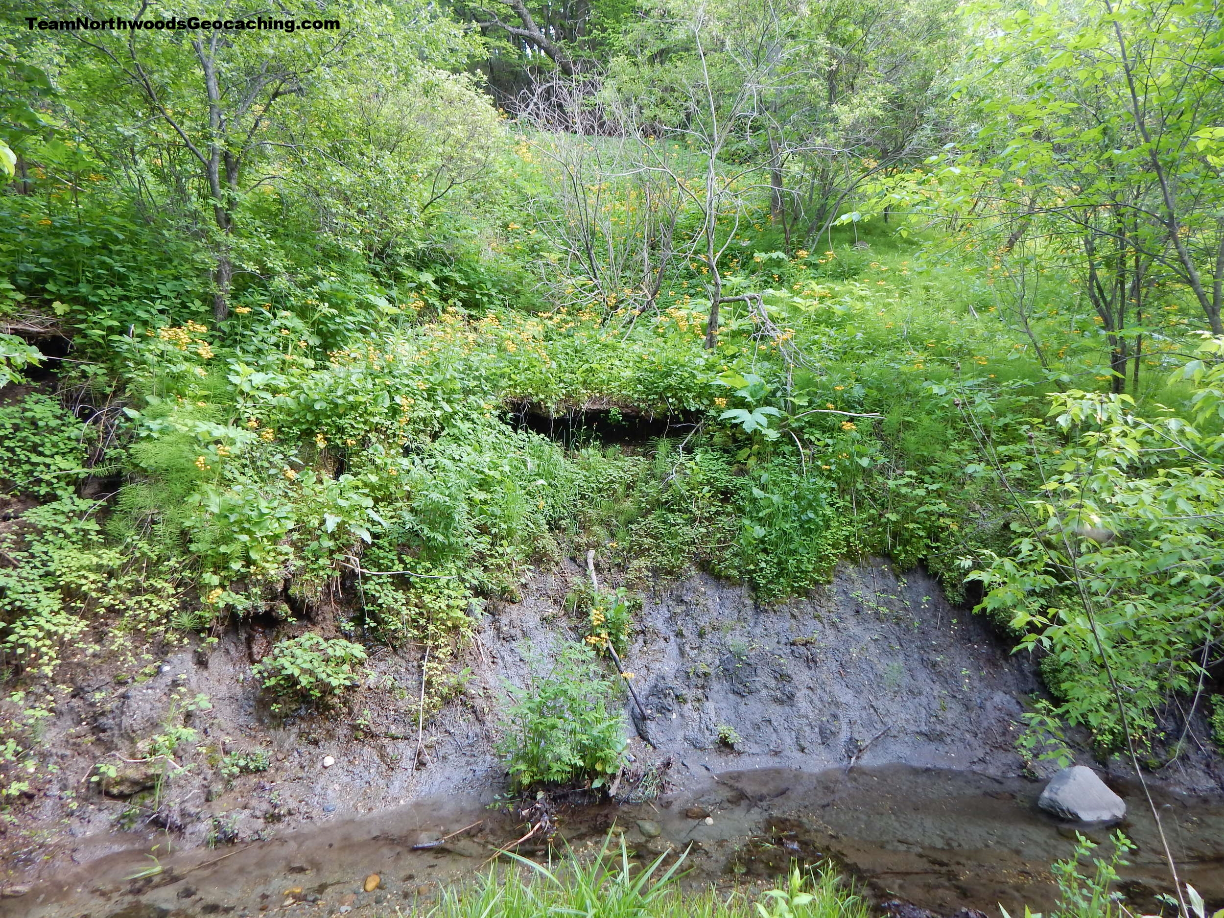
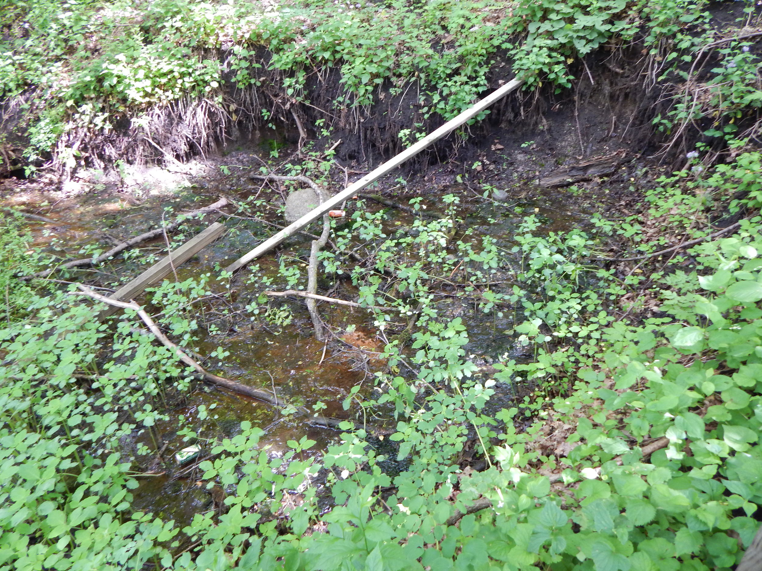
Down along the creek is a Historical Marker with the name Sieche Hollow. I could not find the relationship between the names Sieche and Sica, other than, the name on the marker is closer to the correct enunciation of the parks name.
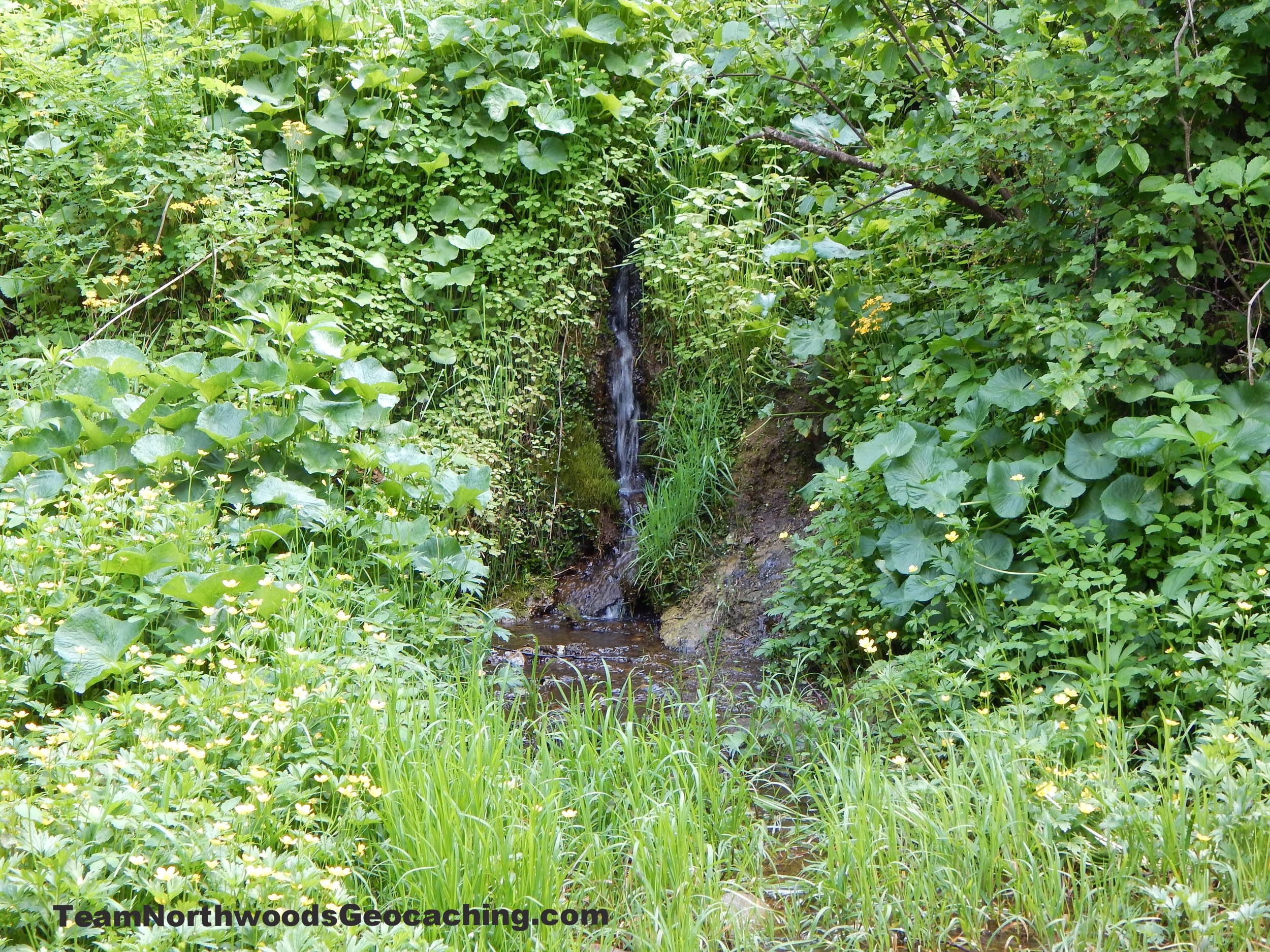
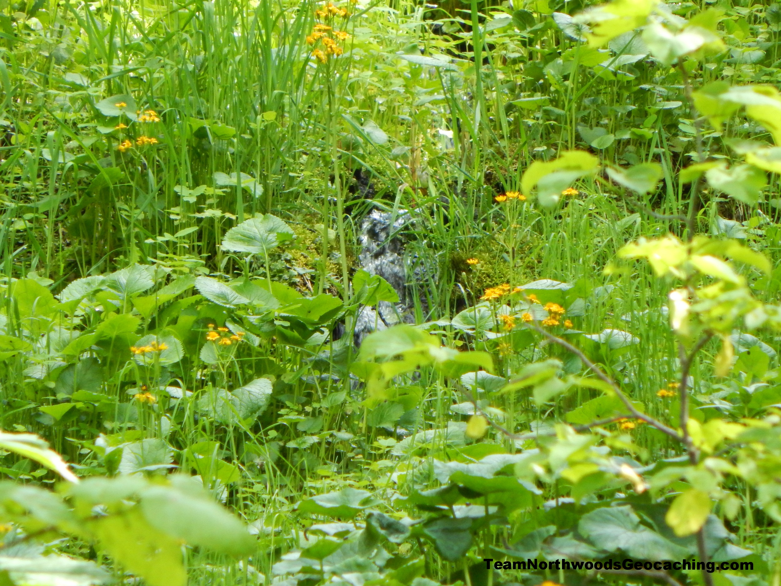
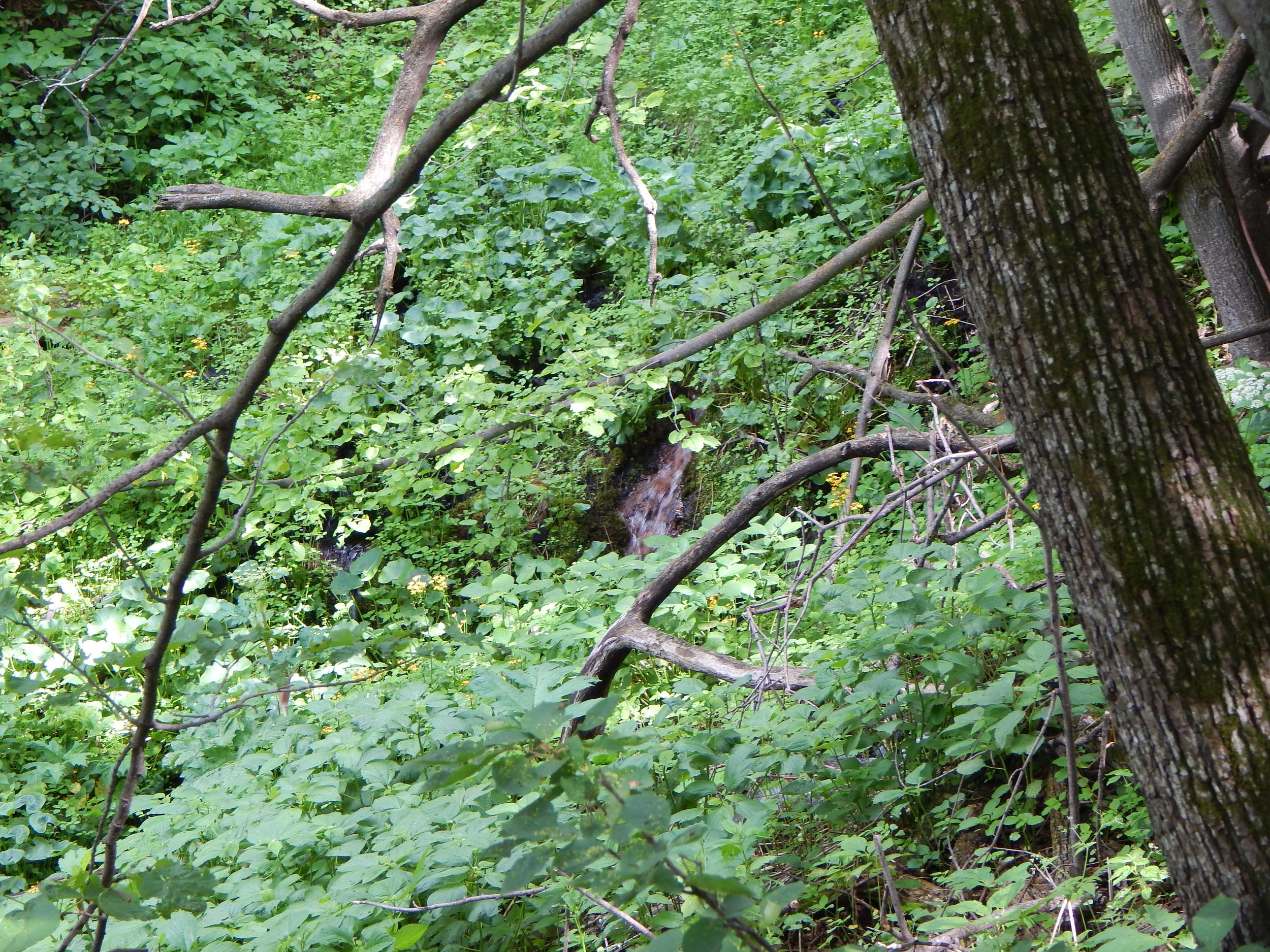
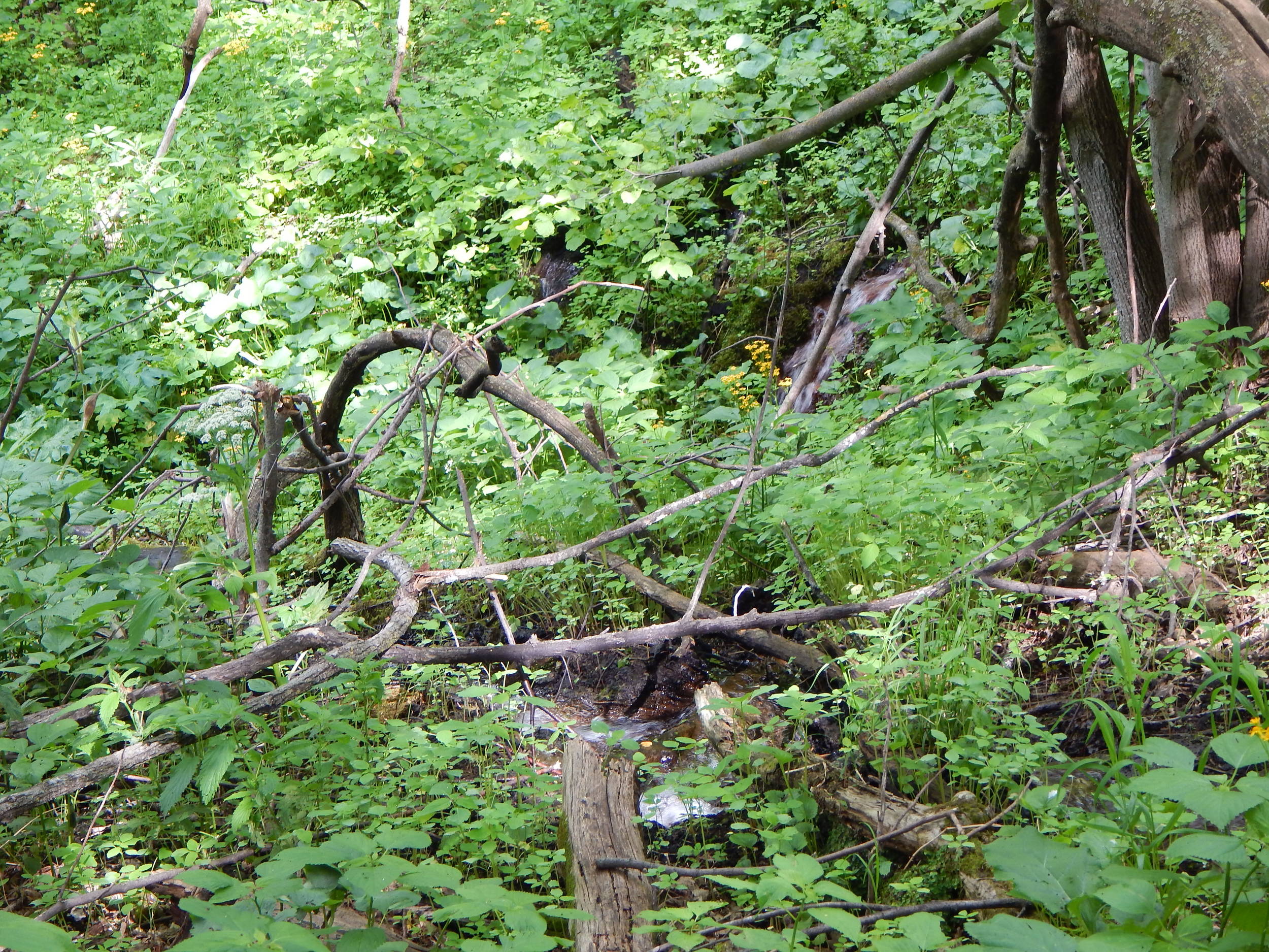
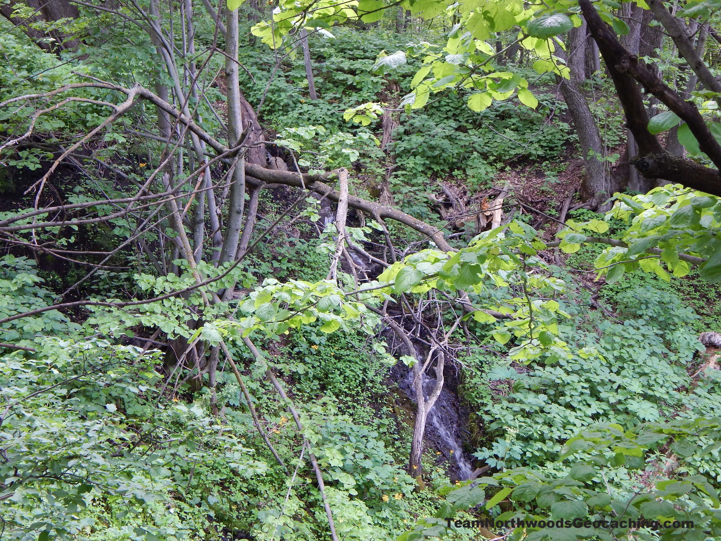
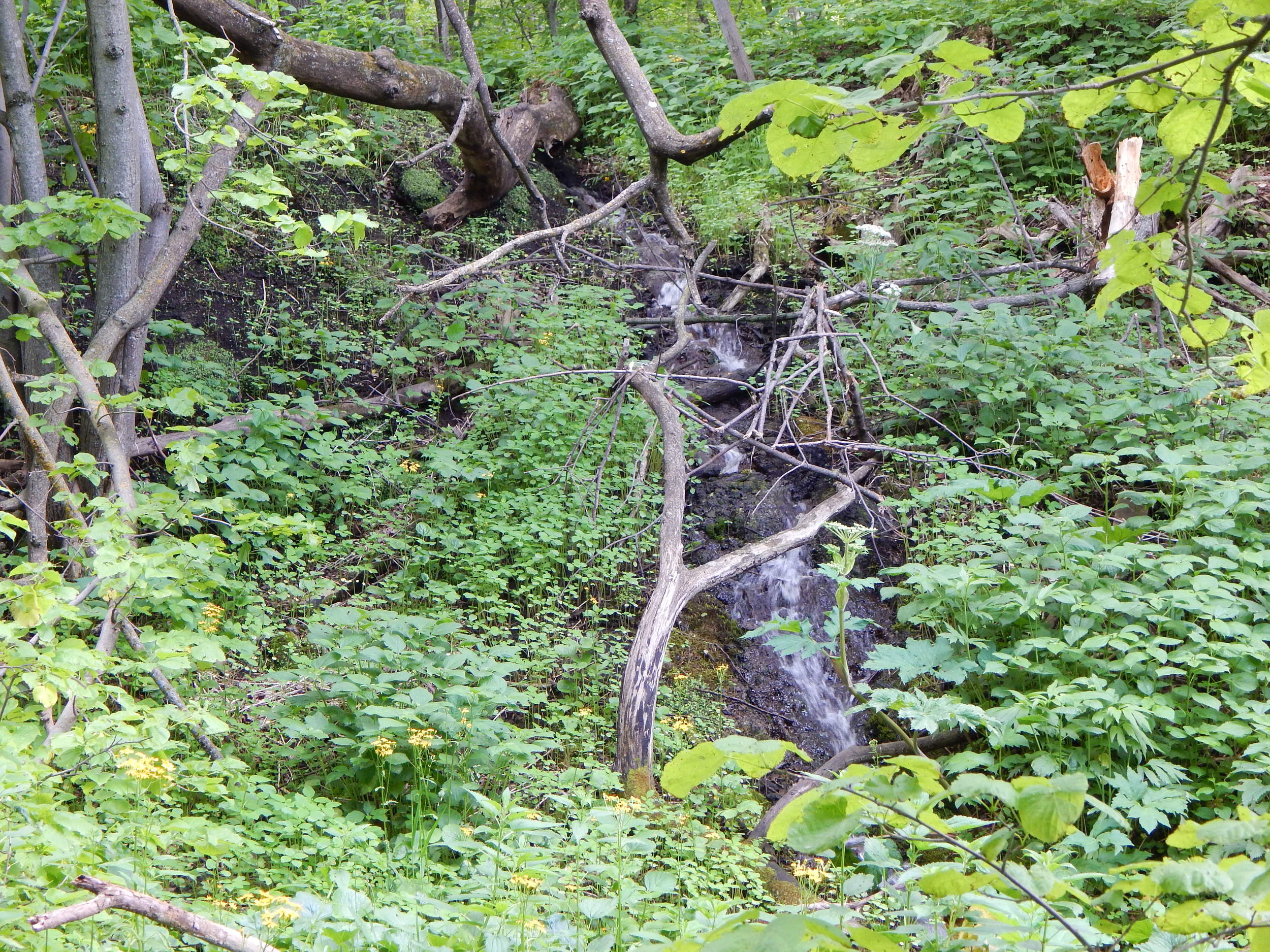
Just beyond the marker you will see spring water running down the hills to the creek below. Some make small little waterfalls.
From here our plan was to head around the interpretive trail but as soon as we crossed the creek there were a lot of stairs heading up up up.
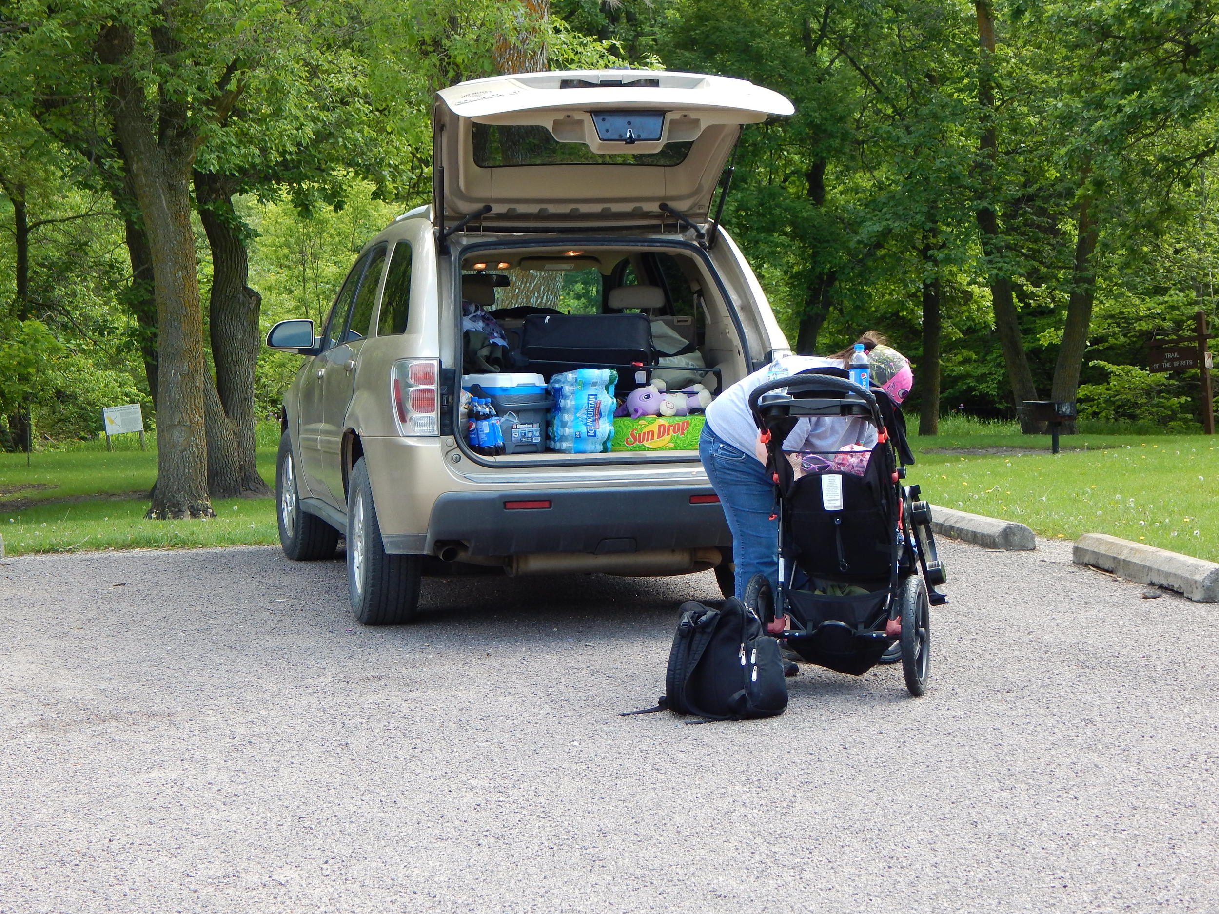
At this point I was very disappointed having to go off alone, starting my trek up the hill to find some cache and explore the area alone. TN Mein Liebchen and Little Miss TN Elliephant would have to enjoy the hollow below.
Future reference for strollers: If you drive all the way down to the end of the road past the fee kiosk, you can take a stroller around the loop that way and come down the stairs at the end. In the middle of the interpretive trail there are some more stairs that go up and come back down but they are not needed to complete the loop.
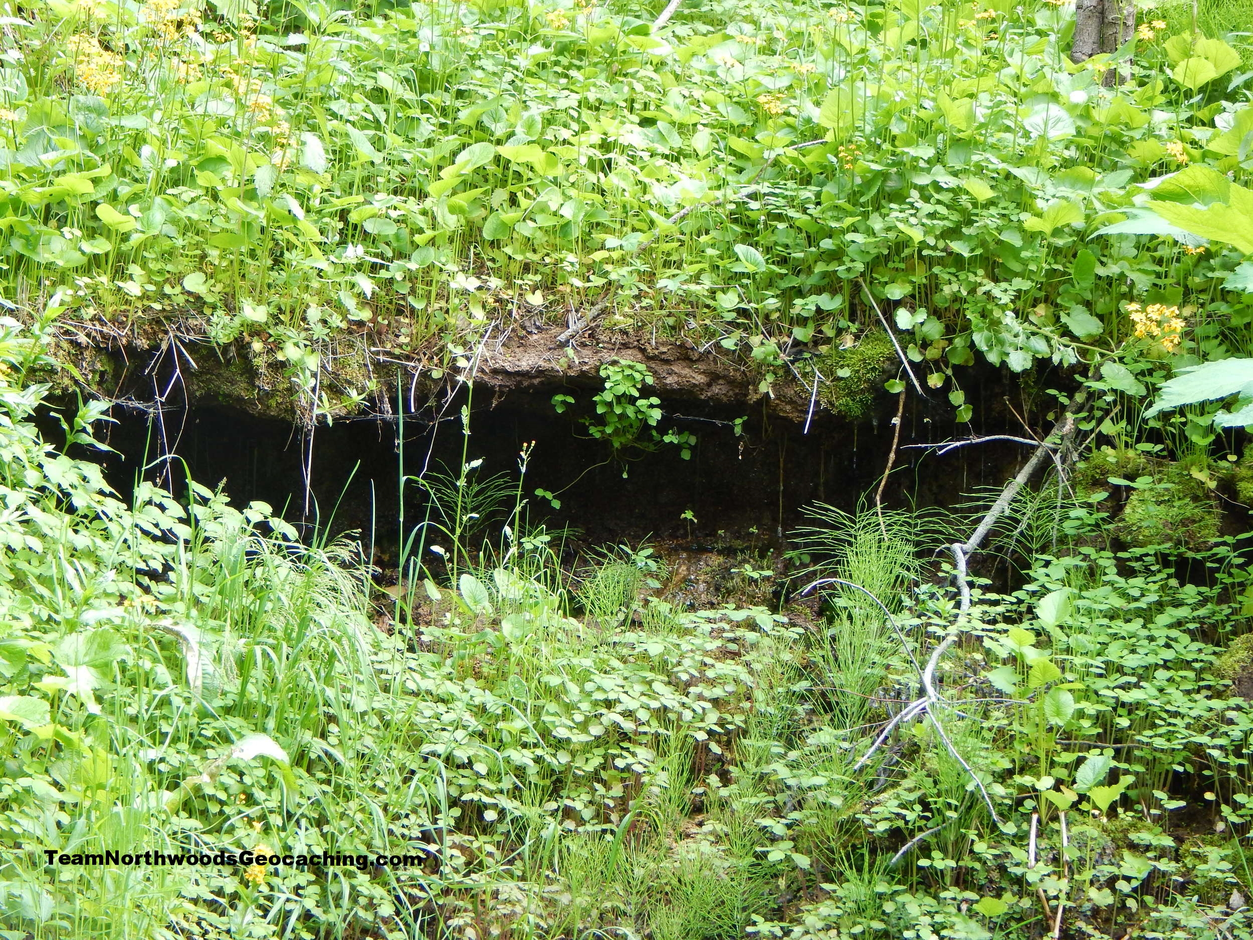
I headed up to the top of the first hill. There you could start to see the springs at their source. These iron orange springs above did not look like they could produce the beautifully clear water below.
Above me to the right were some caches but the trail headed off to the left (east). Time to start climbing up to see if I can make some smileys. Not much luck on finding the cache Logs, Logs, Logs. I was distracted and feeling bad about leaving them behind even though I know TN Elliephant can have fun just about anywhere, I still wanted them along. We did drive 353 miles today to get here.
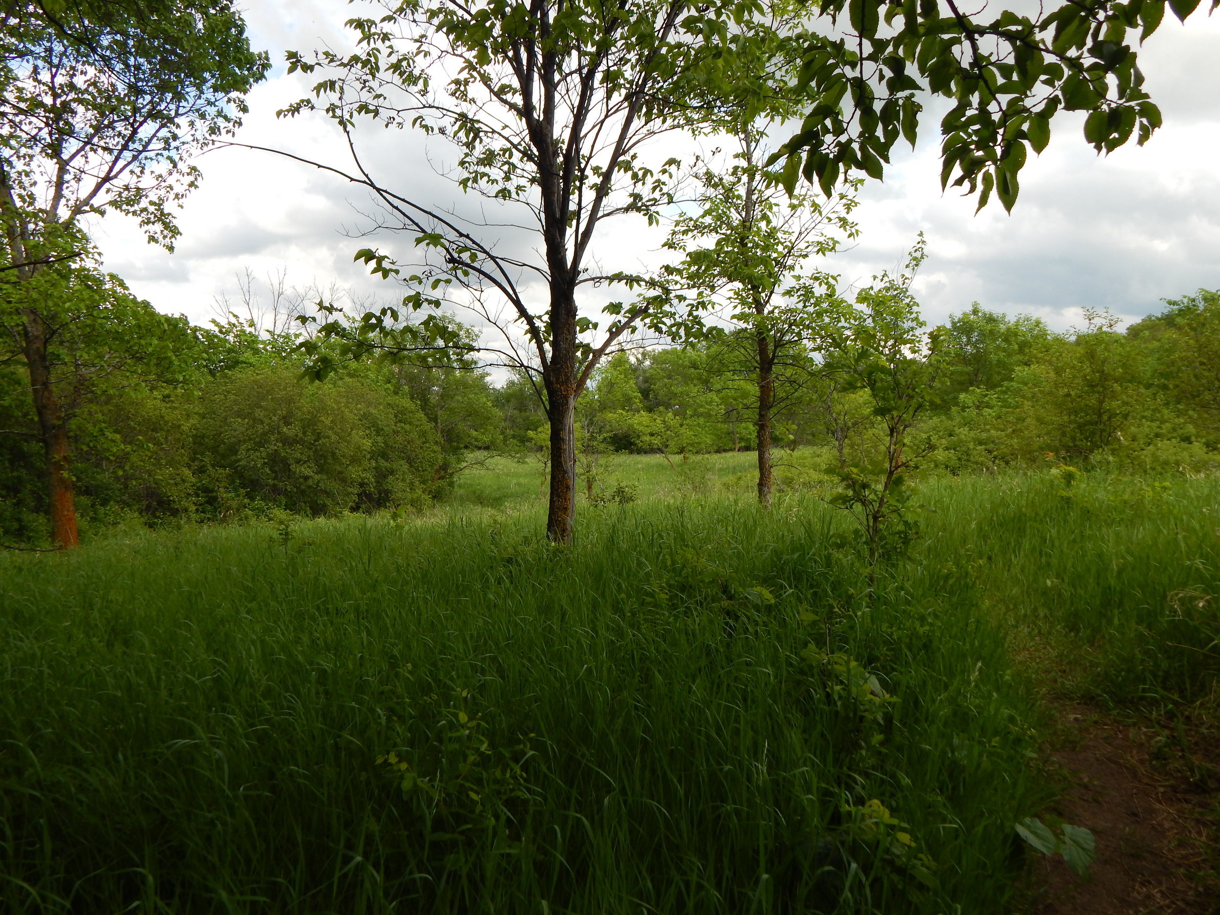
Once I got up on top of the ravine the woods opened up to a nice little meadow with a steep trail heading down below.


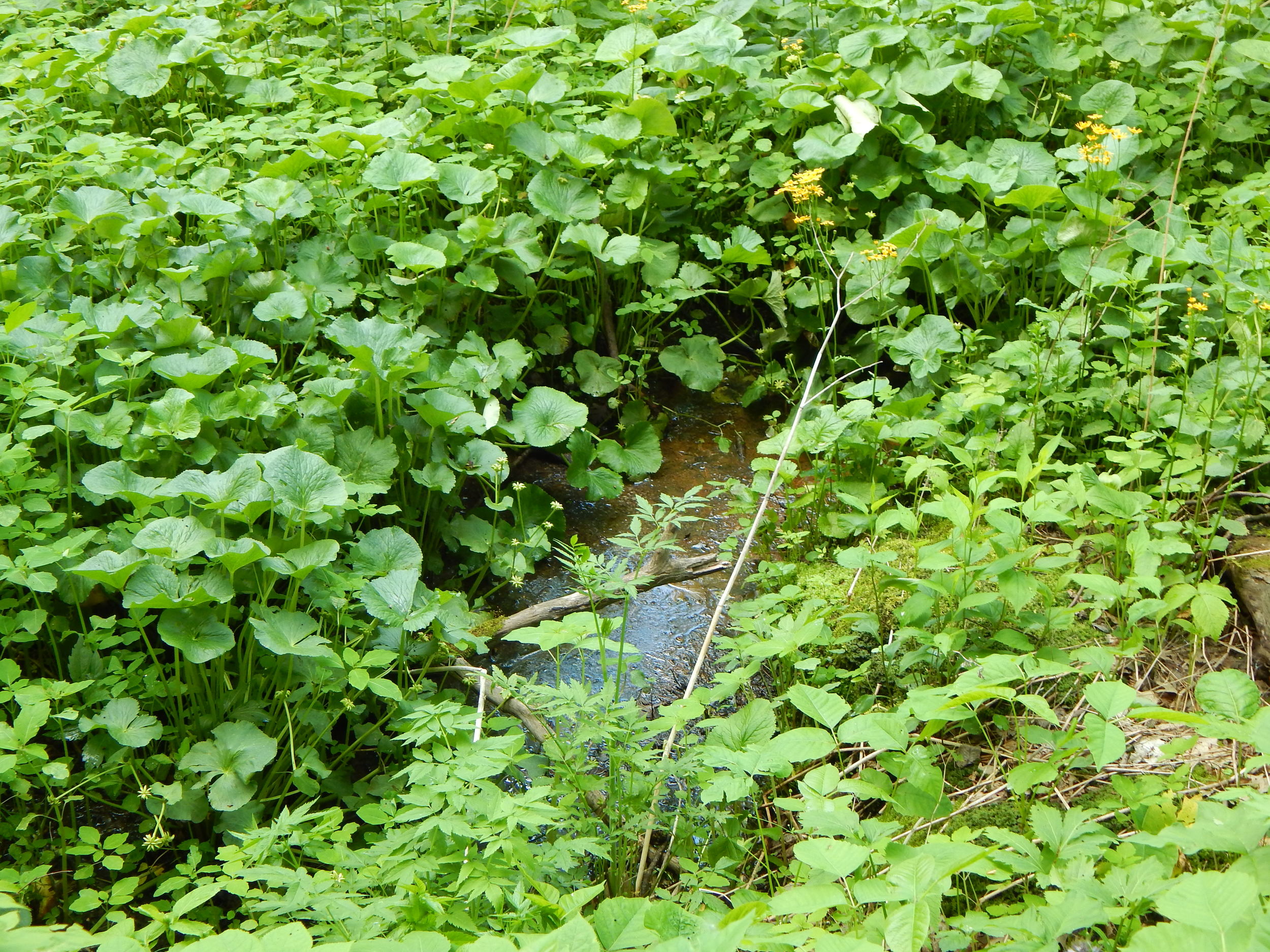
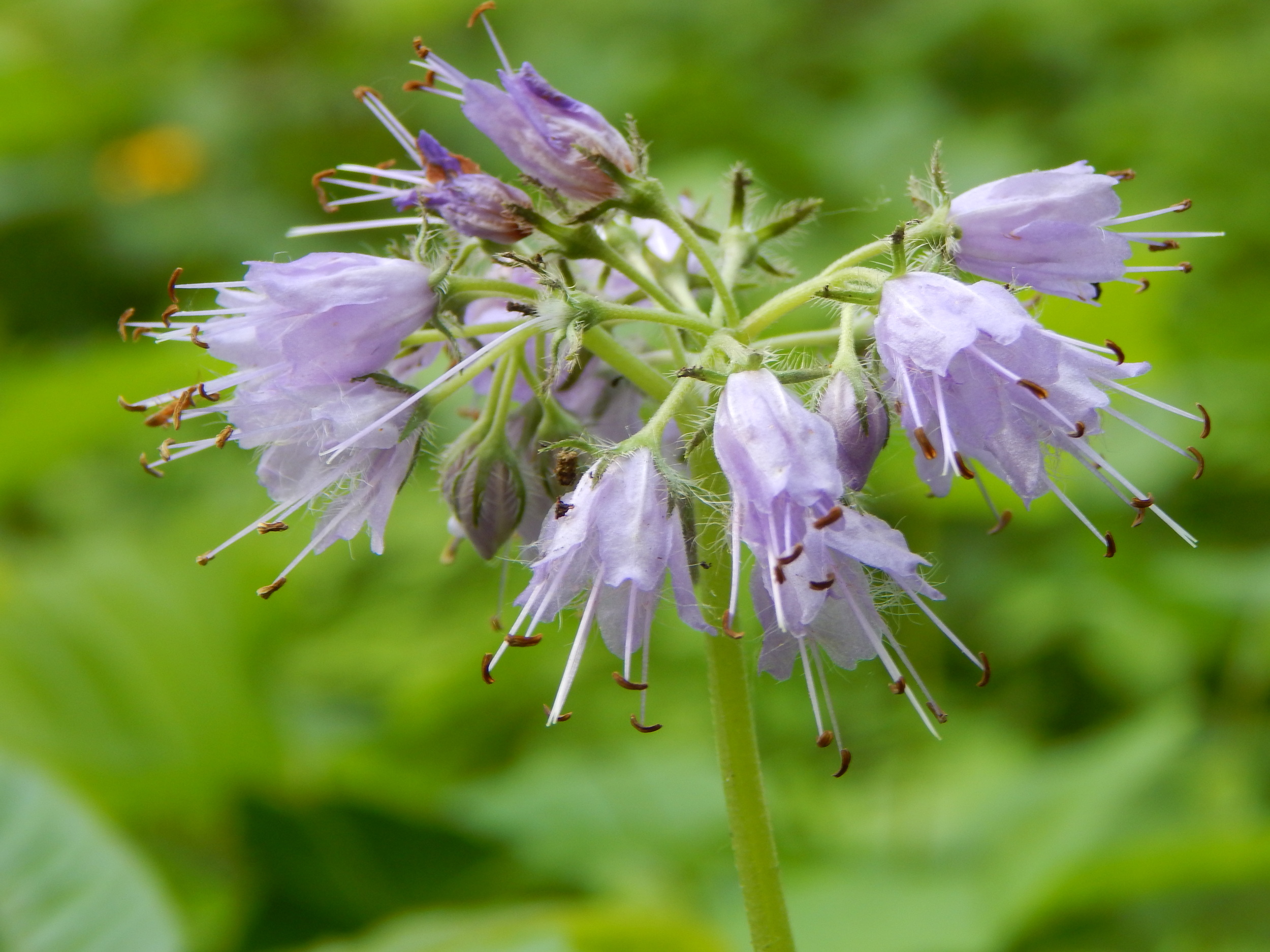
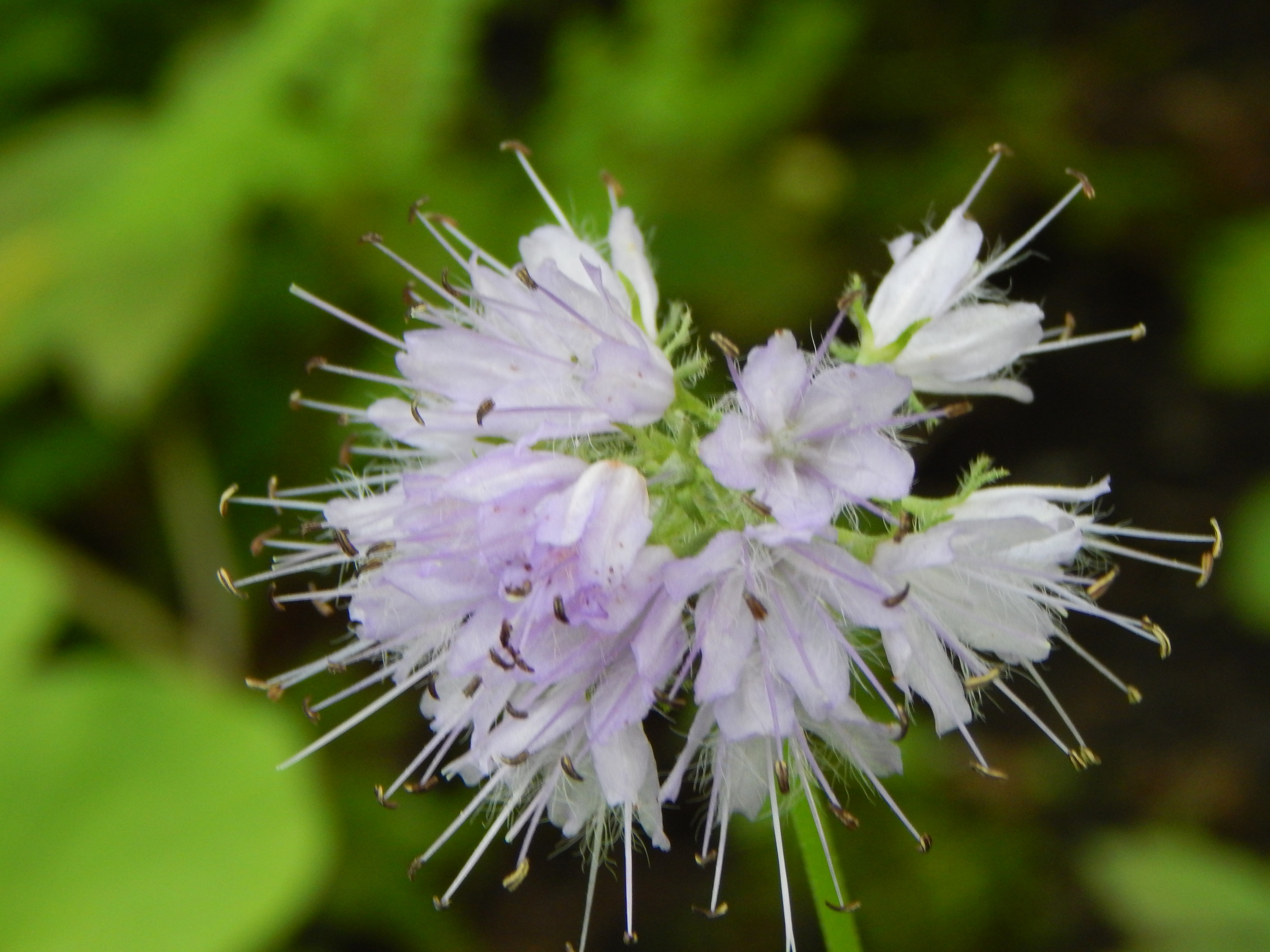
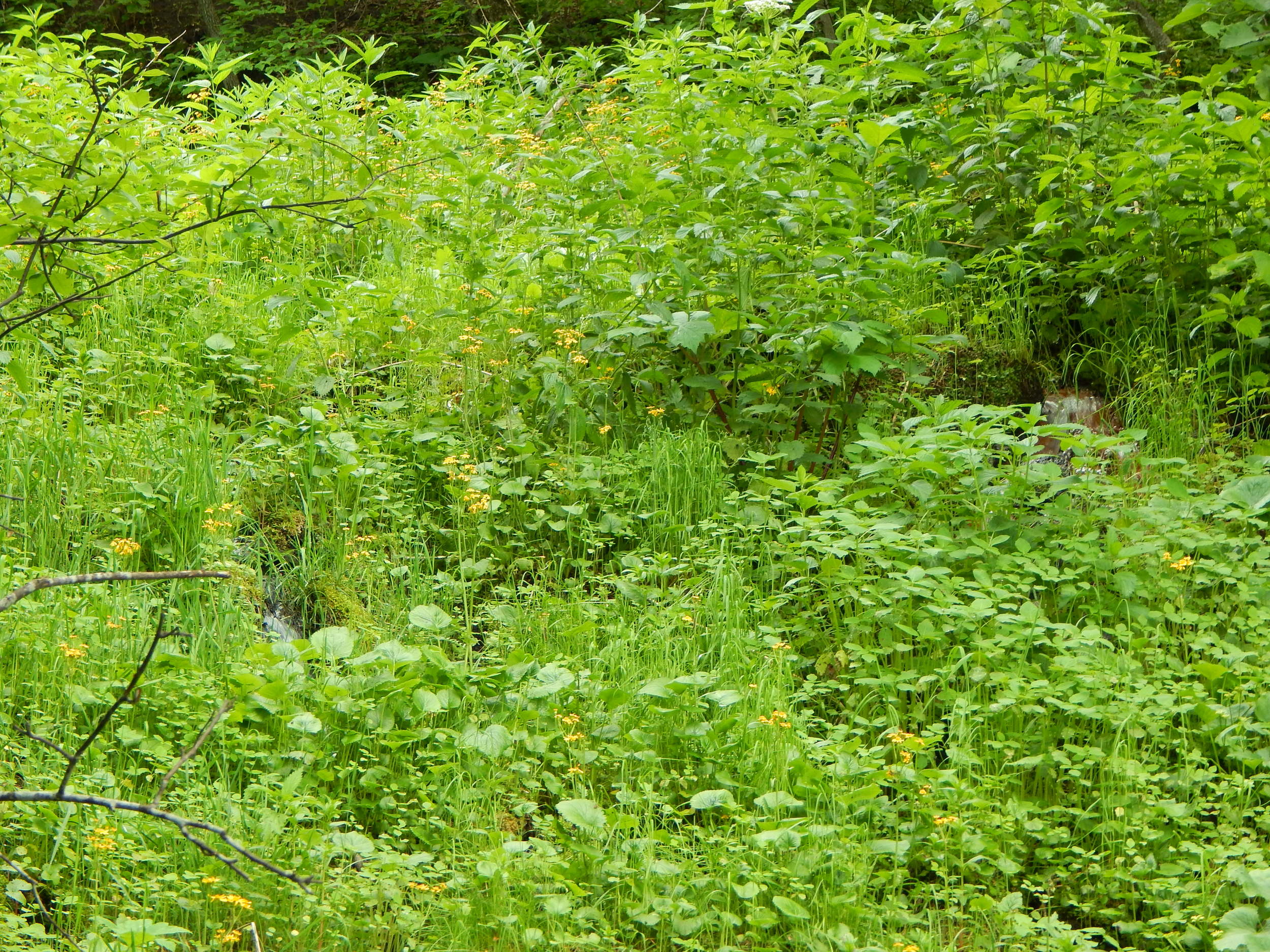
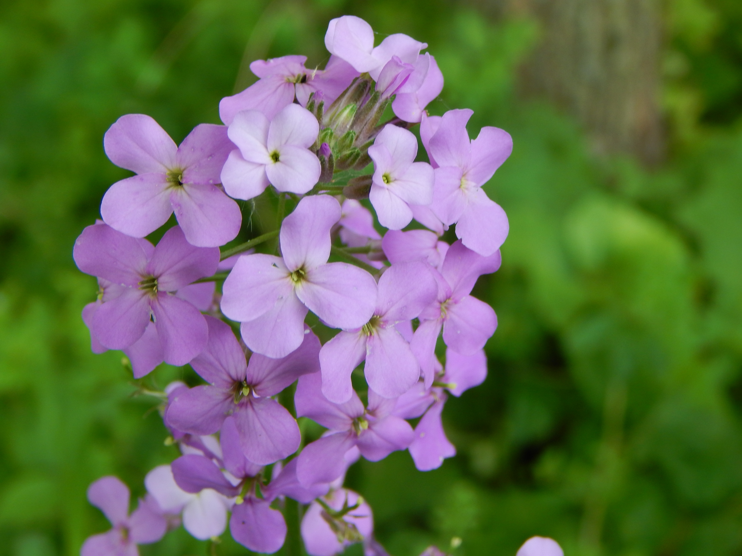
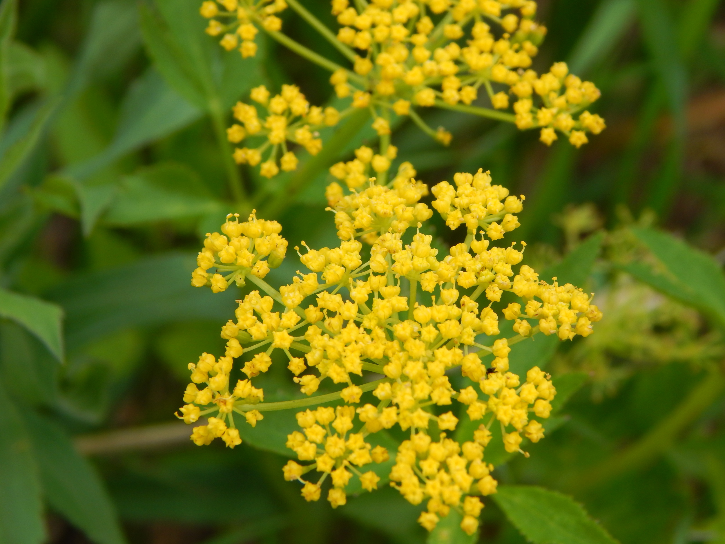
I wanted to explore the openings above but just starting this excursion I thought better to not get side tracked right off the bat. There is always time for that later. Turning around I continued my route along the main trail. I followed the trail along springs filled with yellow and purple flowers.


At this point I could tell the interpretive trail was no more. It would have been interested to see what information the plaques would have had. Apparently they were really good as someone else must have really liked them and hogged them all to themselves.
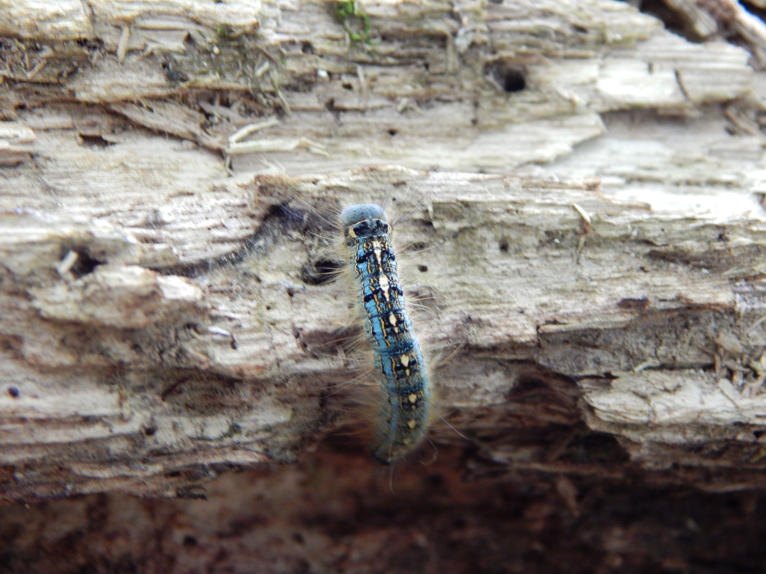
A bridge ahead hovering over a tributary of springs guarded by a little green caterpillar.


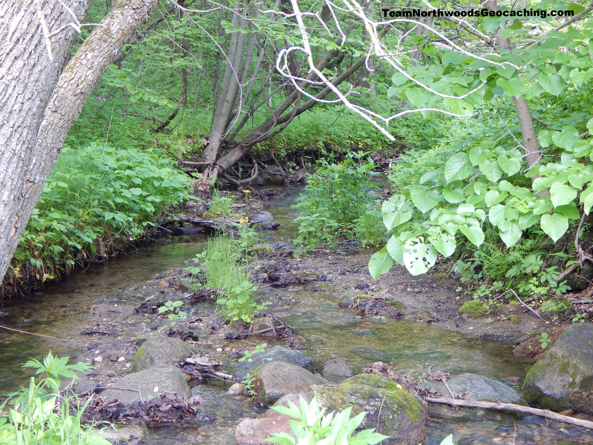
It is kind of funny to see all these muddy dirty springs bringing such clean fresh water into the Hollow.
About halfway down the trail you will come to a set of stairs and a bridge. Of course you have to go up to check it all out. As you climb up and down you will hear small little waterfalls hidden under the foliage. If you get to just the right angle you can spot a few.
And on top again some very uninviting springs.
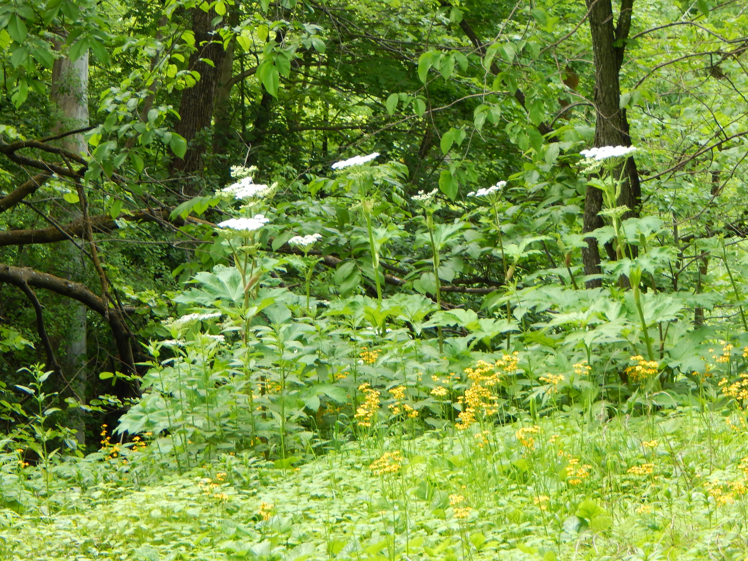
While on top you get to see foliage growing amongst the springs and again another opening in the tree line.


Back down walking along the trail a small outcrop catches the corner of my eye.
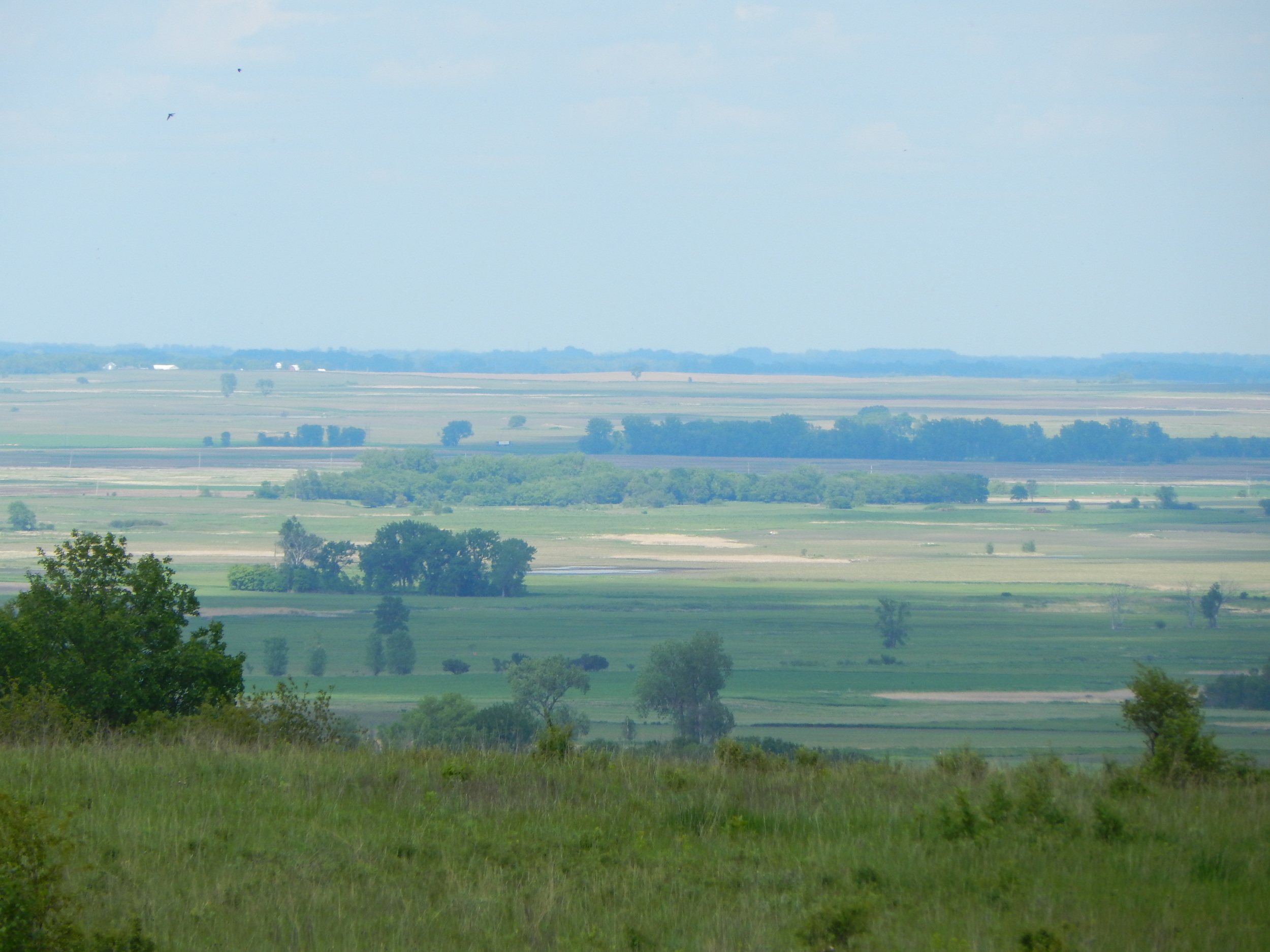
Finally now it is the time to get up these hills to see what is there. To my surprise, an open prairie where you can see for miles. All around the hollow it is open prairie with much to see.


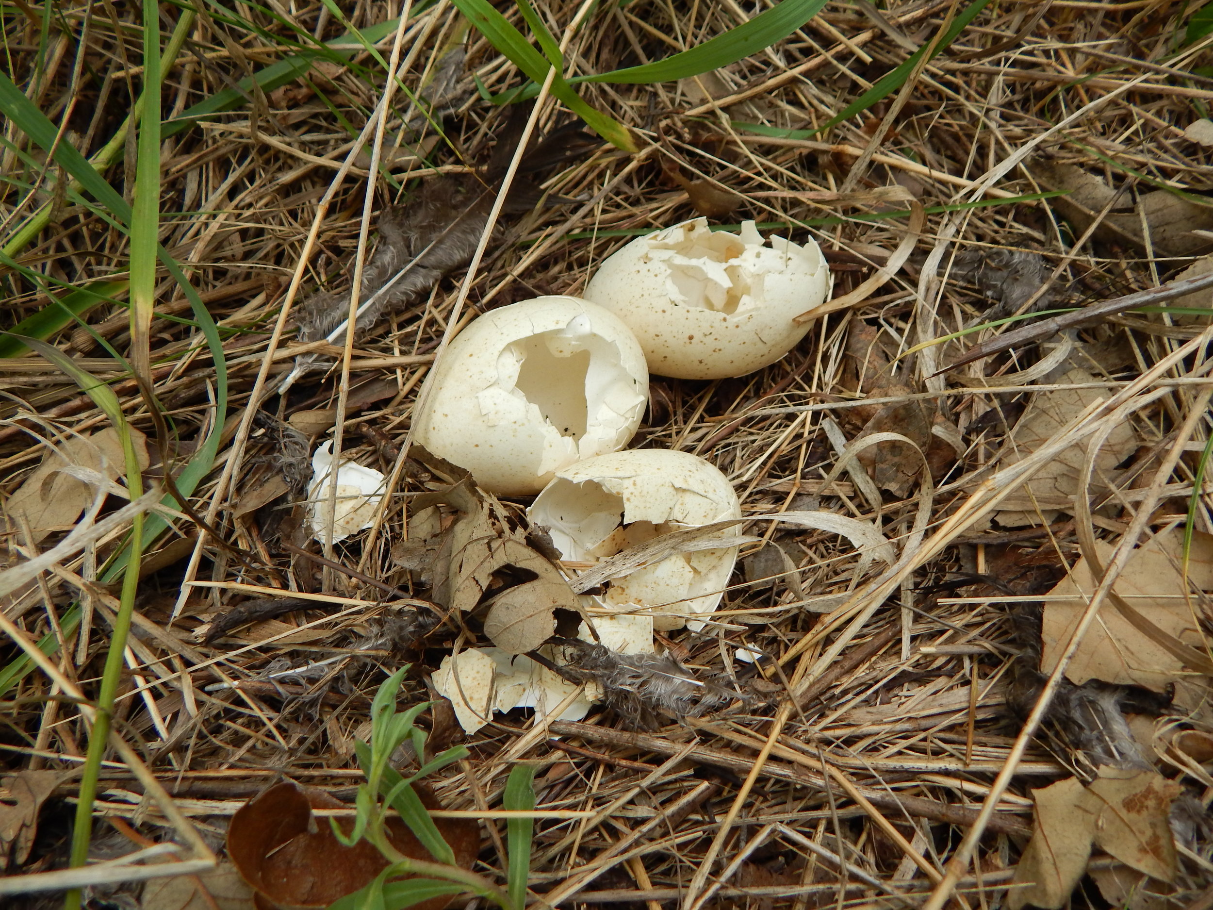
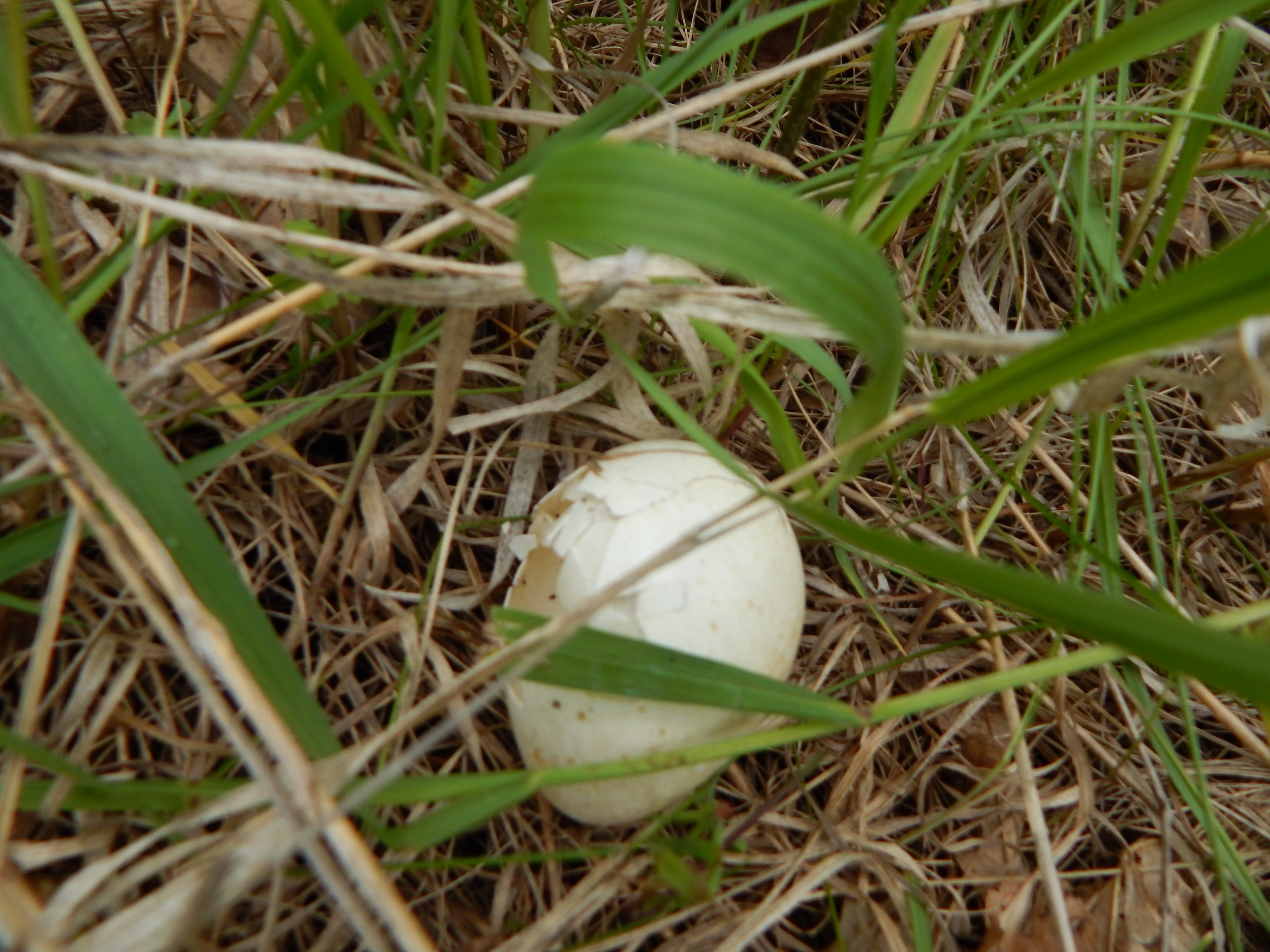
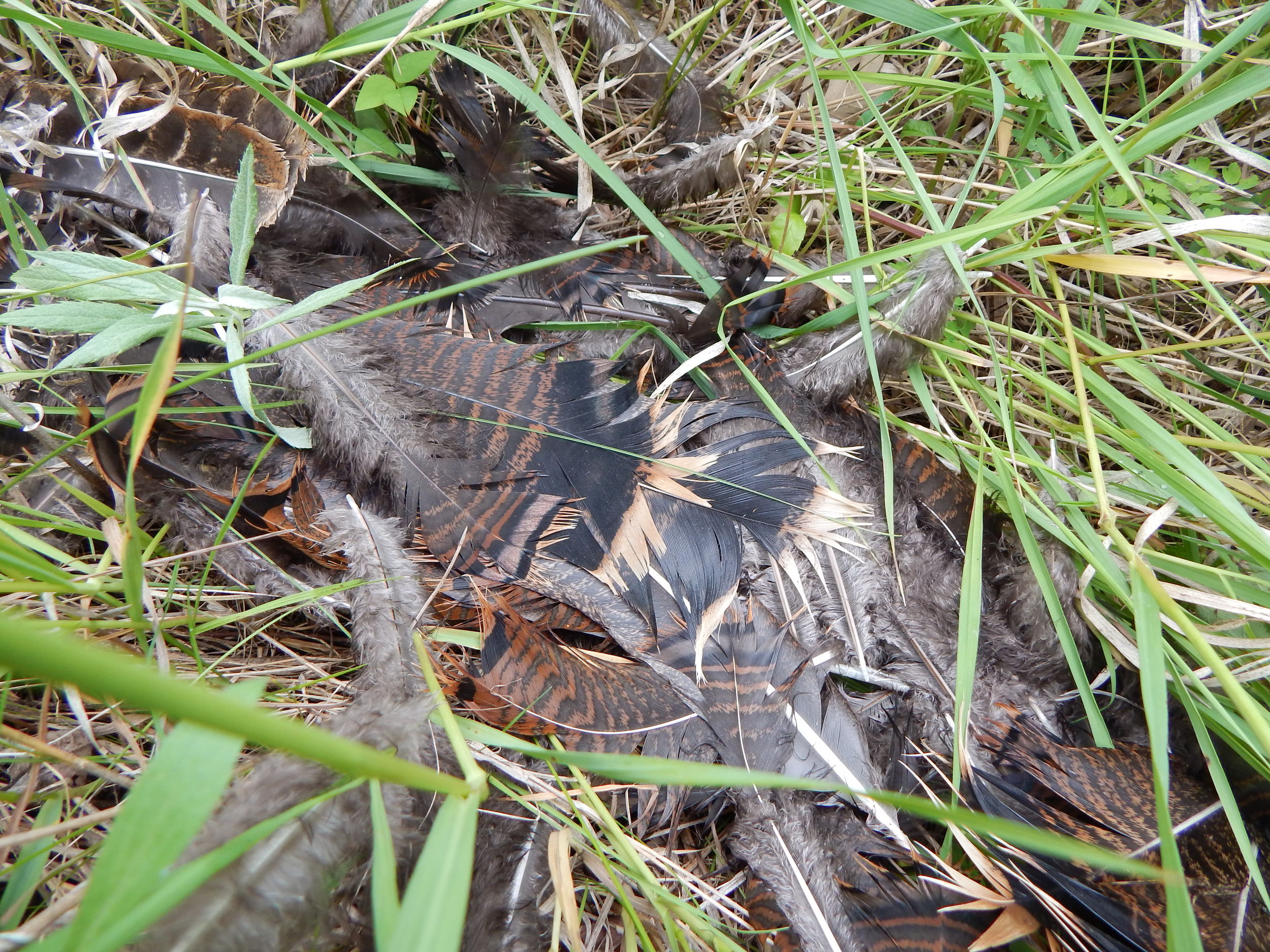
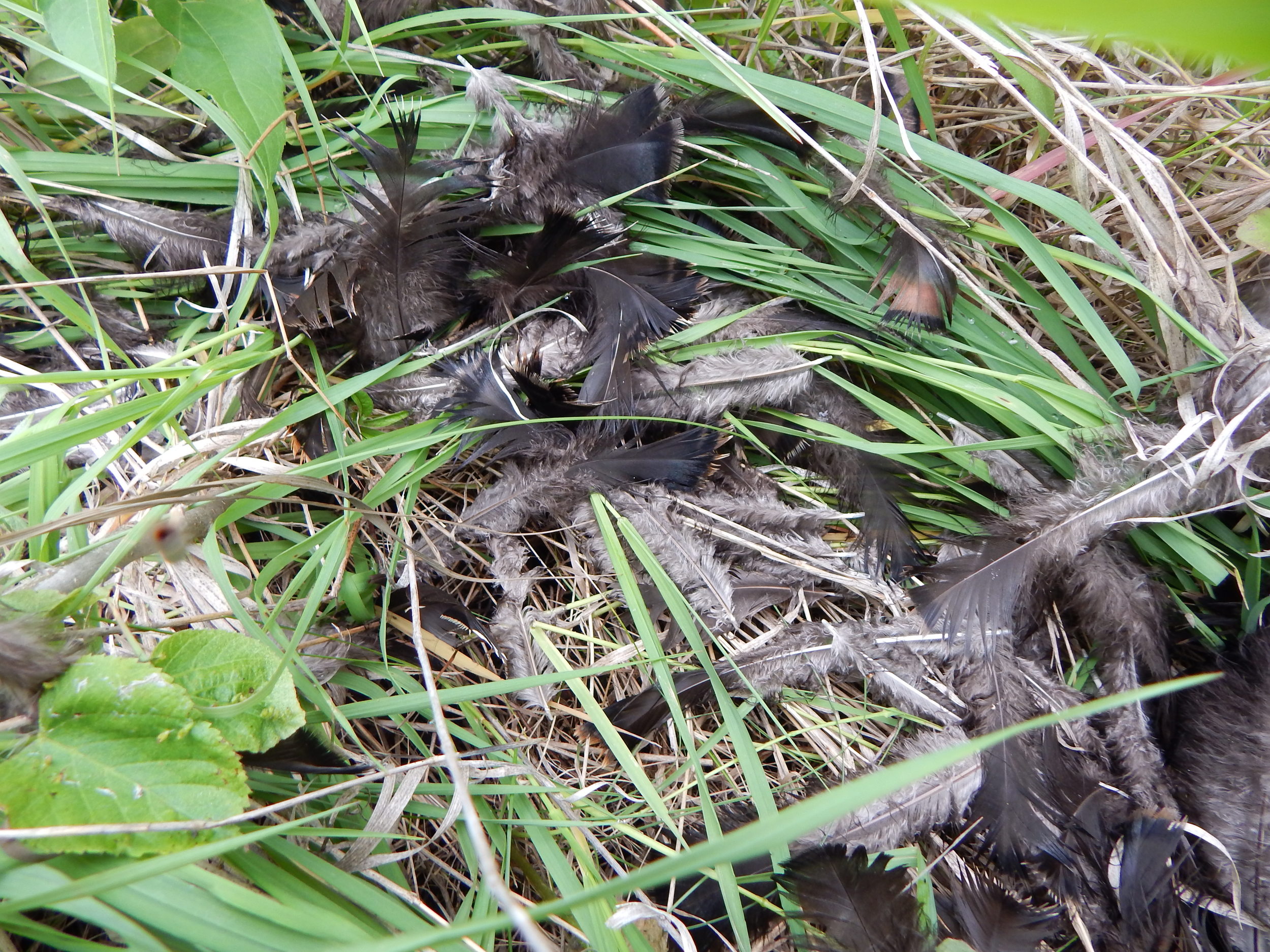
But when I looked down it was a crime scene. A turkey nest with broken eggs and feathers strewn around.
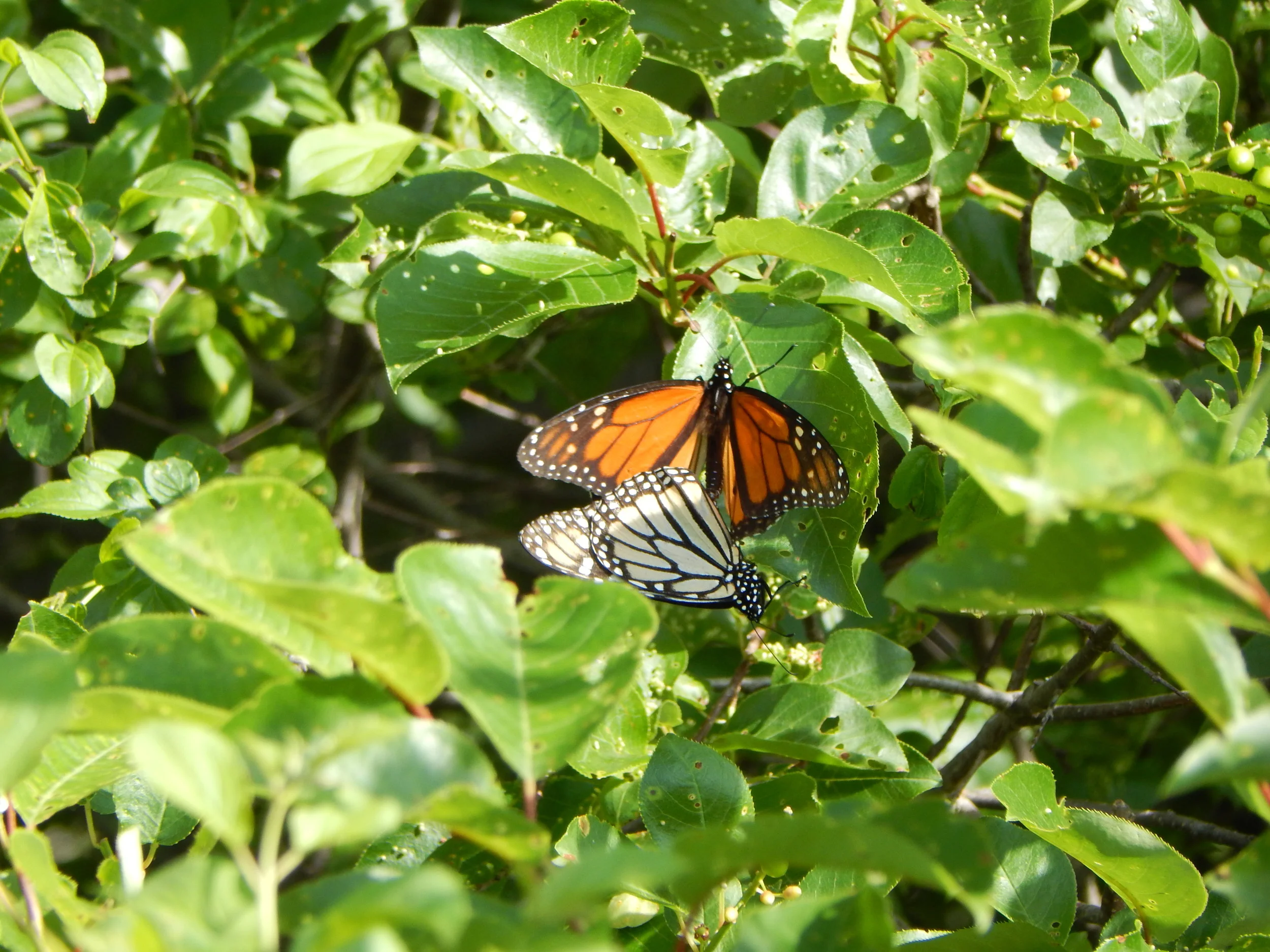
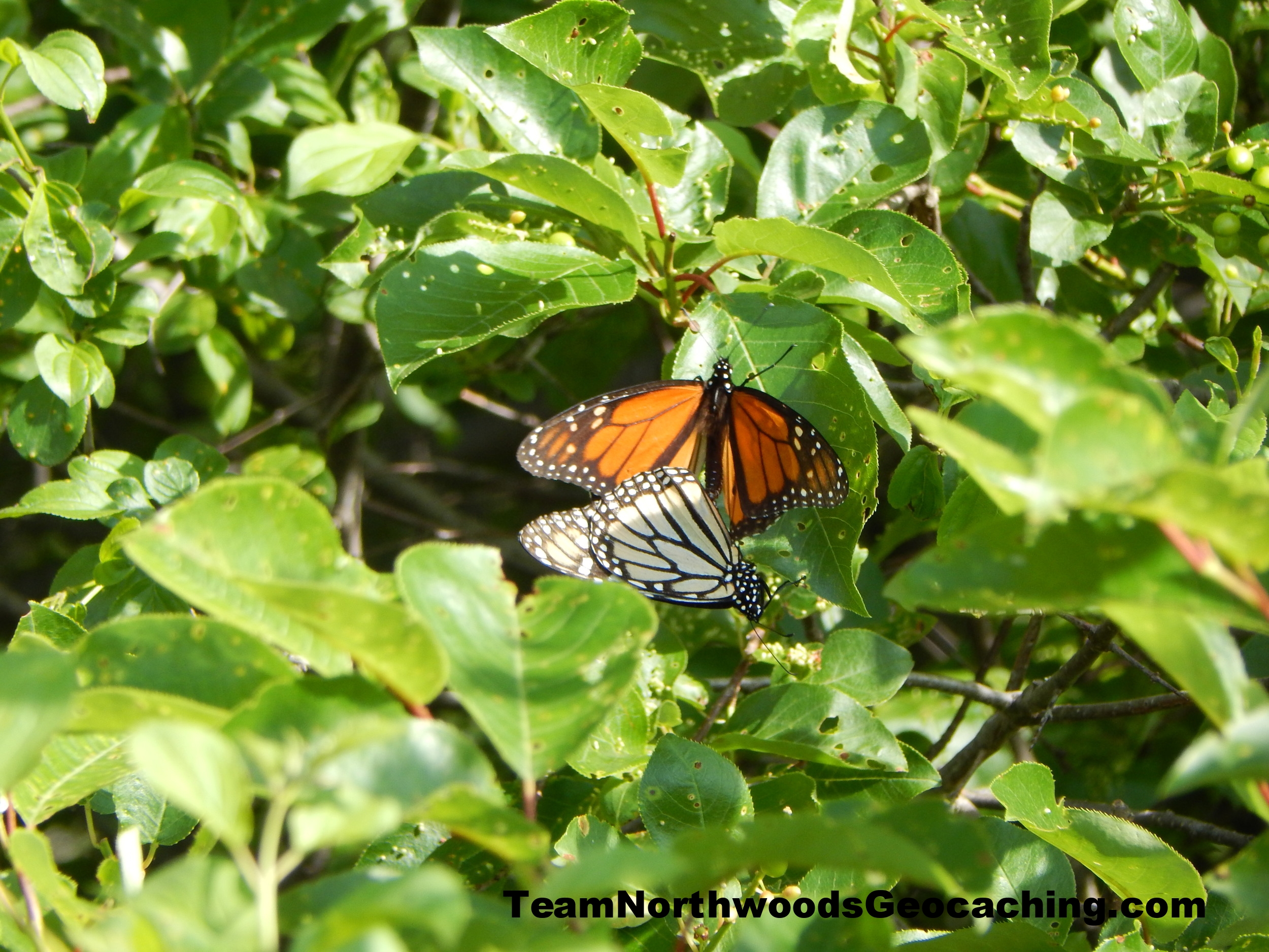
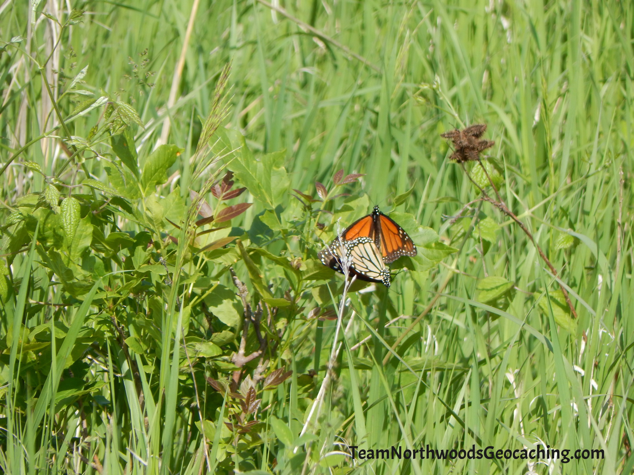
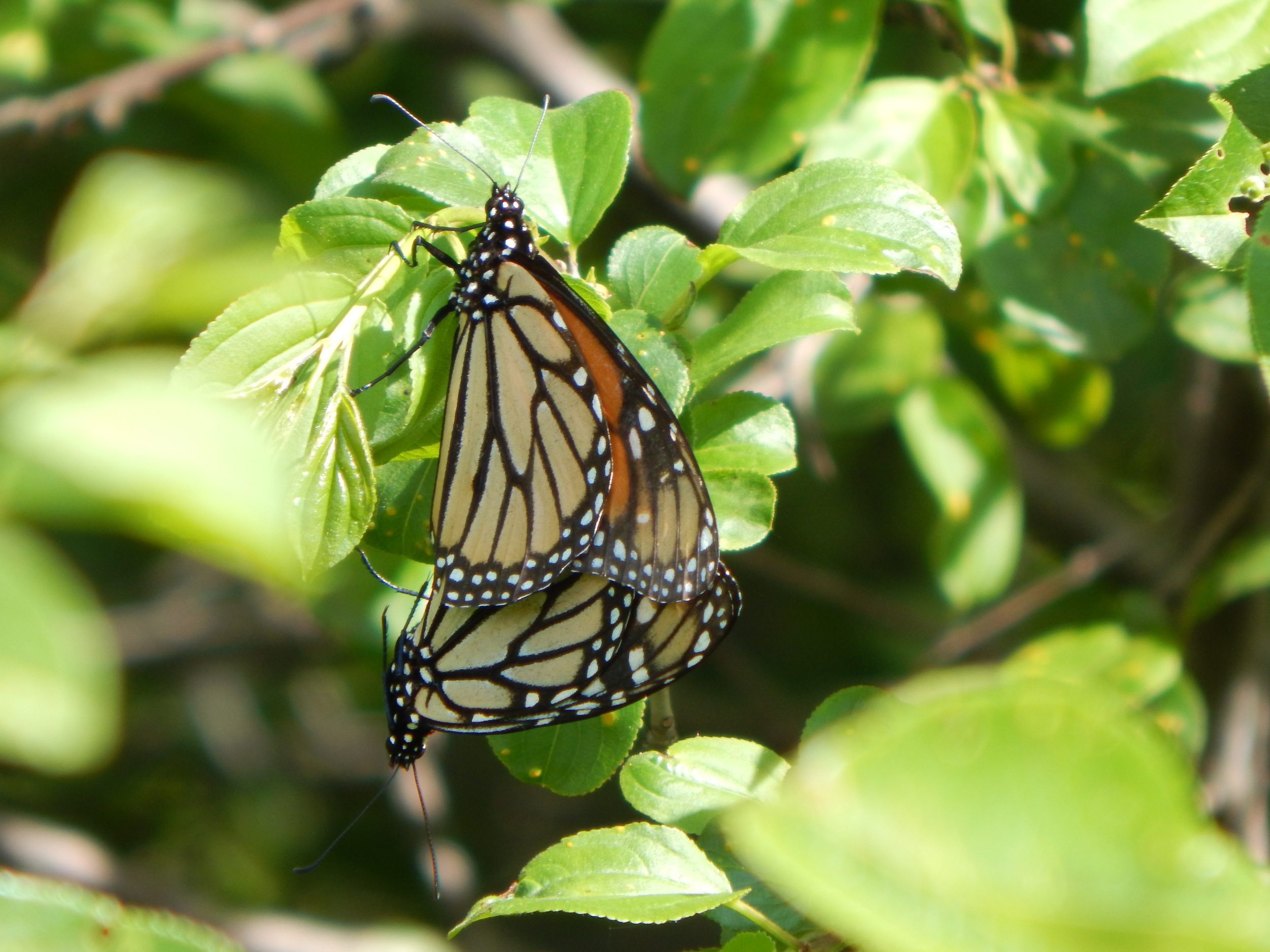
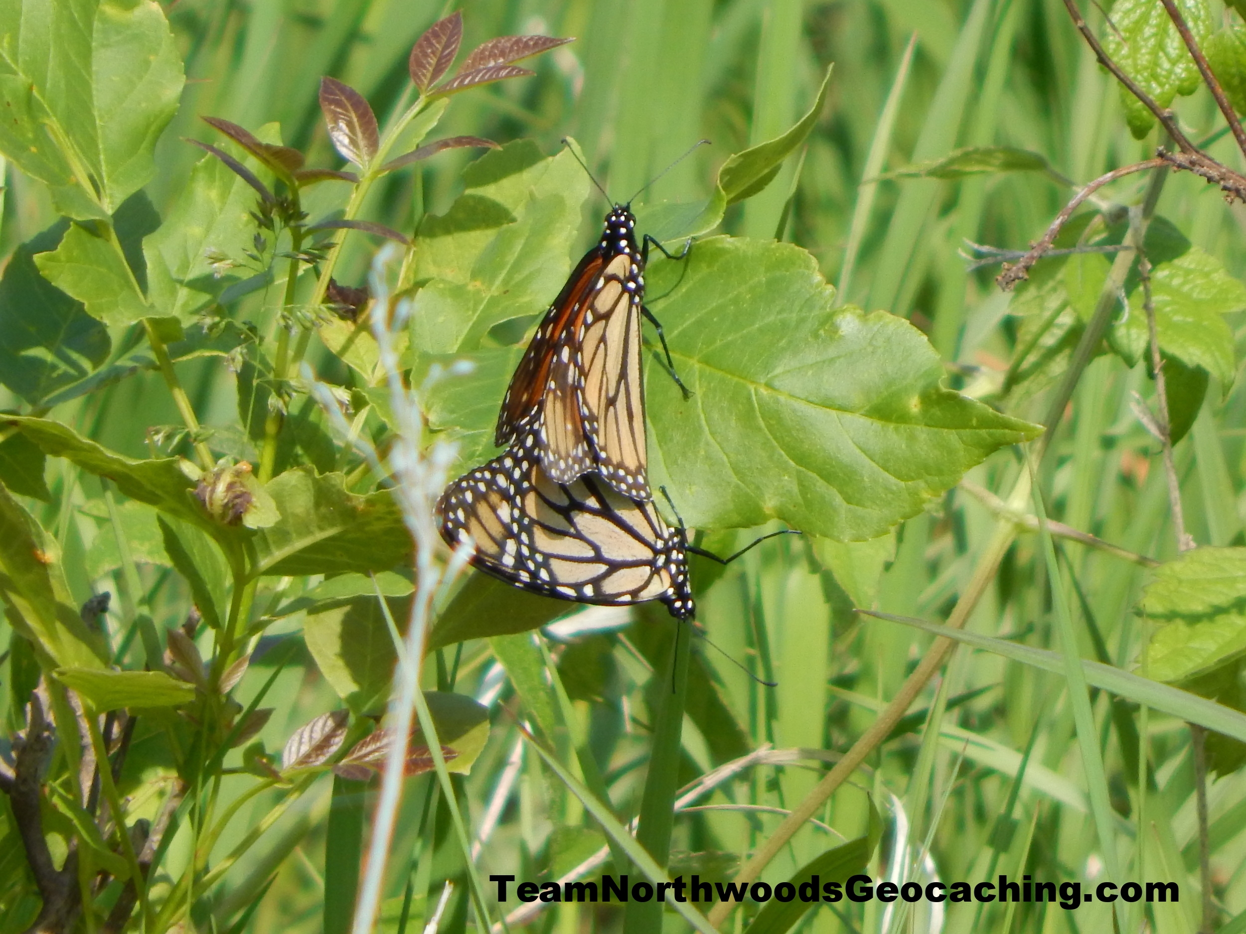
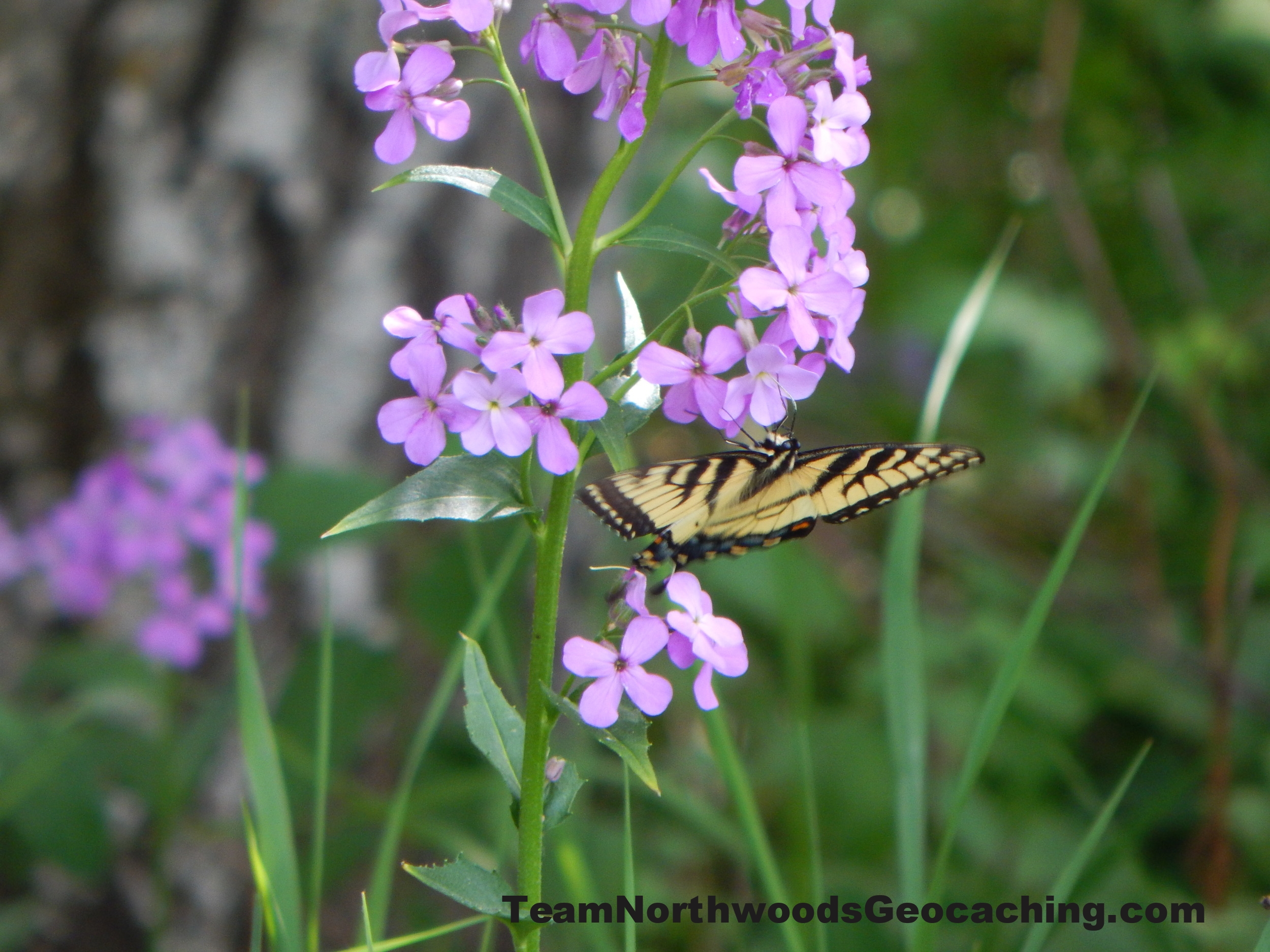
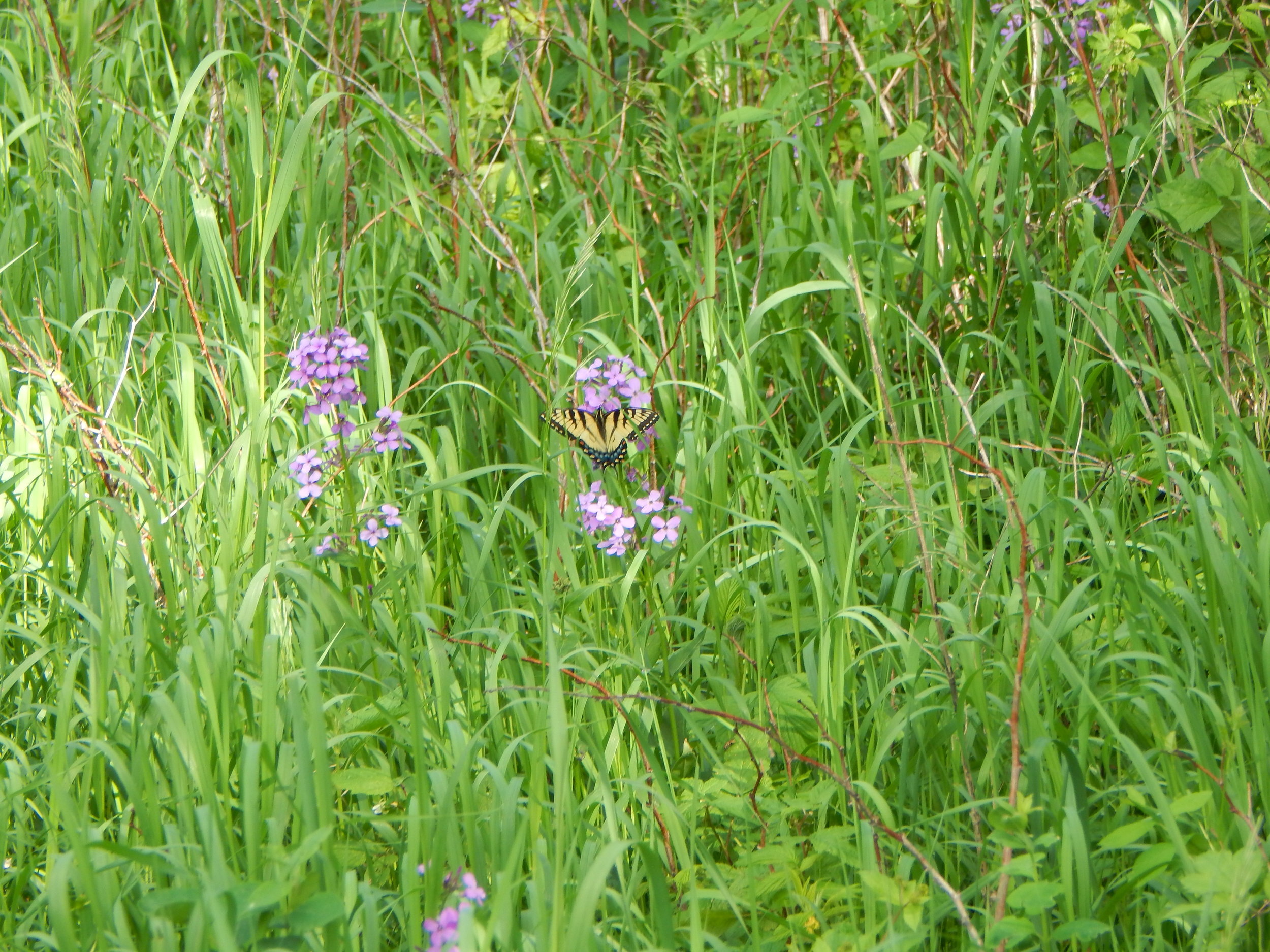
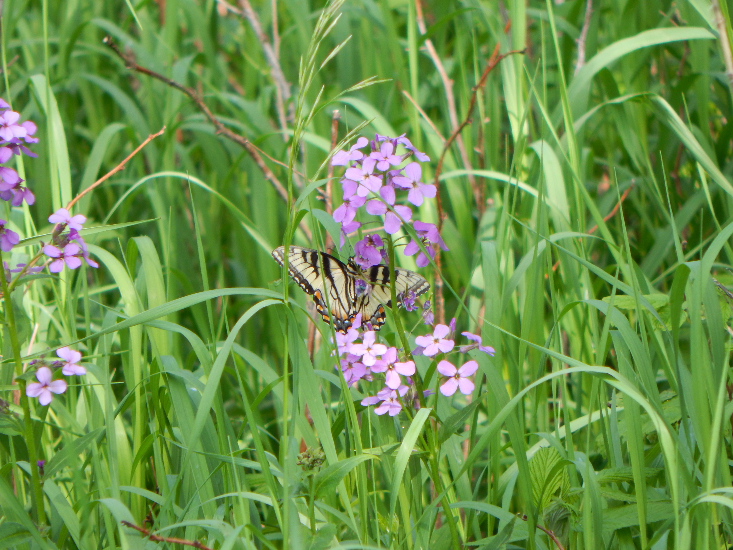
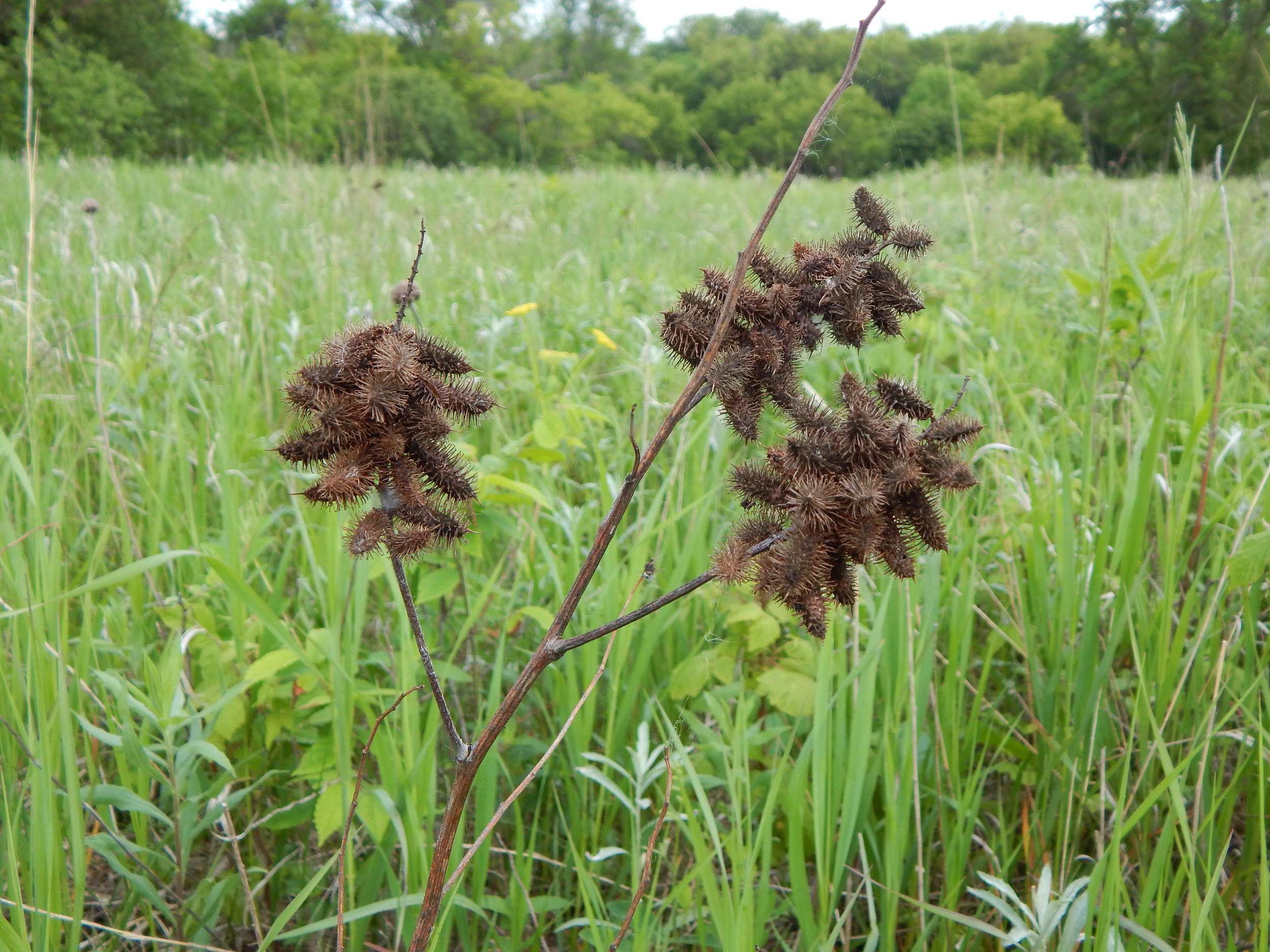
Past the carnage there is a cache to find named Sica Hollow State Park Twin Bridges GCNKRW. As you navigate around the prairie make sure to you keep your eyes peeled. You never know what you might see. It could be Monarchs and Swallowtail butterflies making their rounds on flowers and bushes. For as many monarchs as I saw, I did not see any milkweed.
Back down the ravine and around I went. I crossed over the last bridge to be reunited with my family, ending my exploration of this very small segment of a very large are filled with adventure.


We went on checking out there area park spending as much time as we could while leaving much for another time.
As we headed west into the pothole lakes region, we saw a lot of pelicans. These are are rare sight for us to see back in Wisconsin. They are a big bird.

