It is amazing all the different features you can observe in a 1 mile walk in the middle of what seems to be nothing more than just a swamp . As I put this article together, our route never stopped transitioning from one ecosystem to the next. A lot of pictures in this one and an introduction to the Wisconsin Geocaching Association Lonely Cache Game. Enjoy.
About the Area
Deer Run Special is nestled in the Black River State Forest between several very different State Natural Areas. The geocache itself is located in the Trowe Marsh just on the north side of the Trowe Drain that runs northeast into Lewis Creek. The Trowe Drain passes by the old iron quarry at Lake Wazee. Lake Wazee is the deepest man made inland lake in Wisconsin at 355 feet deep. I have very good suspicion that the Trowe Drain was used to remove water from the area to aid in the mining of iron but I cannot find any reference to it or why the area was drained.
To the southwest of Trowe marsh is the Washburn Marsh. On your adventure to the the geocache Deer Run Special you will cut through a small section of it. Unlike the Trowe Marsh; the Washburn Marsh has not been drained and peat moss harvesting has been limited.
To the west is Wildcat Ridge. Wildcat Ridge rises above the surrounding area 300 feet. It is made up of a sandstone bluff that has been eroded over many years.
To the southeast are the Millston Sand Barrens. The Millston Sand Barrens has outwashed sandy areas with dense impenetrable oak stands. The oaks are all the same age because of a large fire back in 1977 that cleared the land.
How does one find themselves in an area like this?
You can blame it on the Wisconsin Geocaching Associations Lonely Cache Game. The Lonely Cache Game (LCG) consists of about 500 caches that have not been found for the longest period of time in the state. The main reason for the LCG is to help keep geocaches maintained and in play. The game part is for those that find them get on the Scoreboard. If you click on the scoreboard link to check it out, click on the arrow to show different months and 2015 for this years total score. After the years end, there is an event and prizes for the participants in the LCG.
One reason most of these caches have not been found in a long time is because they are not easily accessible. That is the main reason I like to go out and try to find them. You get to explore areas others skip past for easier smiley's. Lonely caches always tend to turn into quite the adventure.
The Plan
The plan was to meet up with Beccaday and the Cachers of Catan on my way down to Black River Falls. Navigate closest to the cache as we could and then head off into the wild. After "quickly grabbing" this cache head over to an event hosted by Raslas at Lake Arbutus. This event was their 6th annual Meet me at the Lake event. The event consists of a great gathering of geocachers enjoying a potluck and trash can turkeys made by raslas. After a stop by the event I had to get back up to Bruce and bale hay. Yes, bale hay!
Baling hay is always on the hottest days of the summer and always lands on a day you have something else planned because when the hay is ready; it is ready and it doesn't take your schedule into consideration.
How to get there
Before you even get close to starting your way into to the Trowe marsh you have to find your way there. We left the Interstate at Millston and headed north up North Settlement Road to Shale Road. Along Shale road is a cache named Short Logs. From there you will start driving down roads less traveled. The roads were mainly sandy with some areas of old blacktop long grown through with grass and weeds. Very little standing water to worry about. Some roads did have vegetation several feet high but nothing a van or AWD crossover wouldn't be able to handle.
Near the end of your journey driving is the cache Lil' Deuce. You will either find a gate unlocked or locked just before it. If you are lucky it will be unlocked and you can venture further down a very sandy stretch of road just past the cache. There is a cache south of here, ATV - No Need To Get Up, that can be accessed via this road.
DECISIONS
From the cache Lil' Deuce you must decide how you want to approach the cache Deer Run Special. After studying several maps ahead of time I decided the best route would be go over the small creek the feeds into Trowe Marsh from the Washburn Marsh and work the tree line along the marsh. Aerial maps showed a clear cut just south of the tree line on the map. That could make for some easier navigation.
just Start Walking
As for a place to start, not that easy. Very few deer and game trails to choose from. Although there was a bear track.
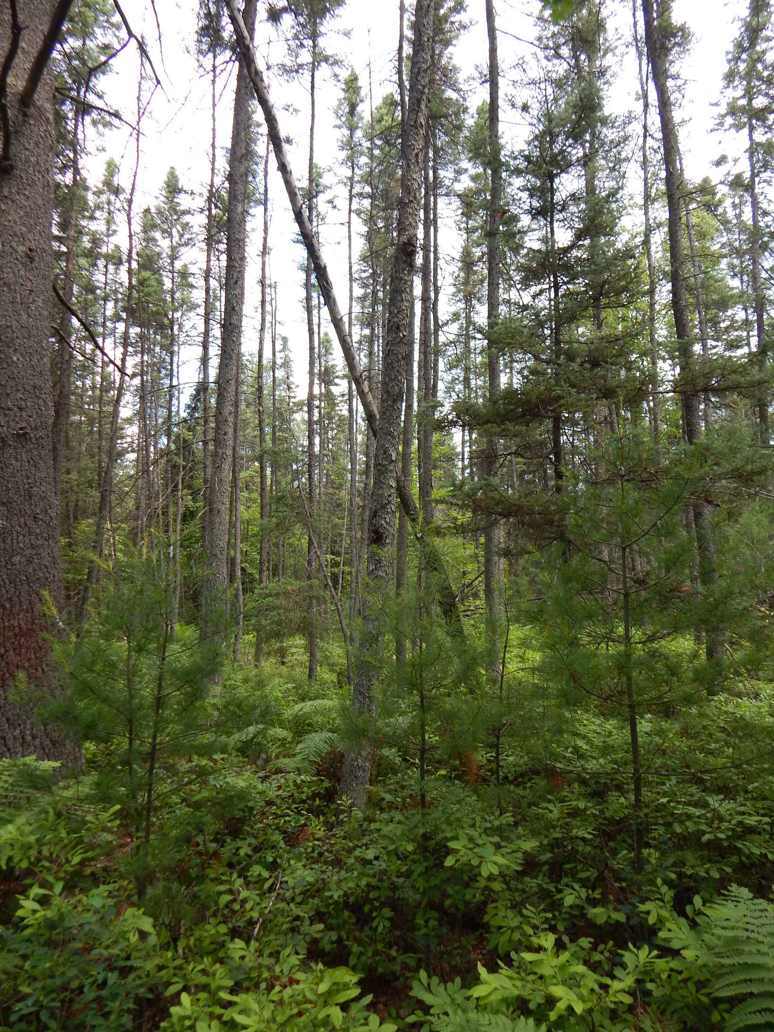
The age of the forest in the first section was young. Consisting of approximately 15 year old popple mixed with hardwoods. It was pretty thick. Few trails to follow except for a few overgrown logging roads and an old trenched fire break. The fire break was the best and easiest to follow.
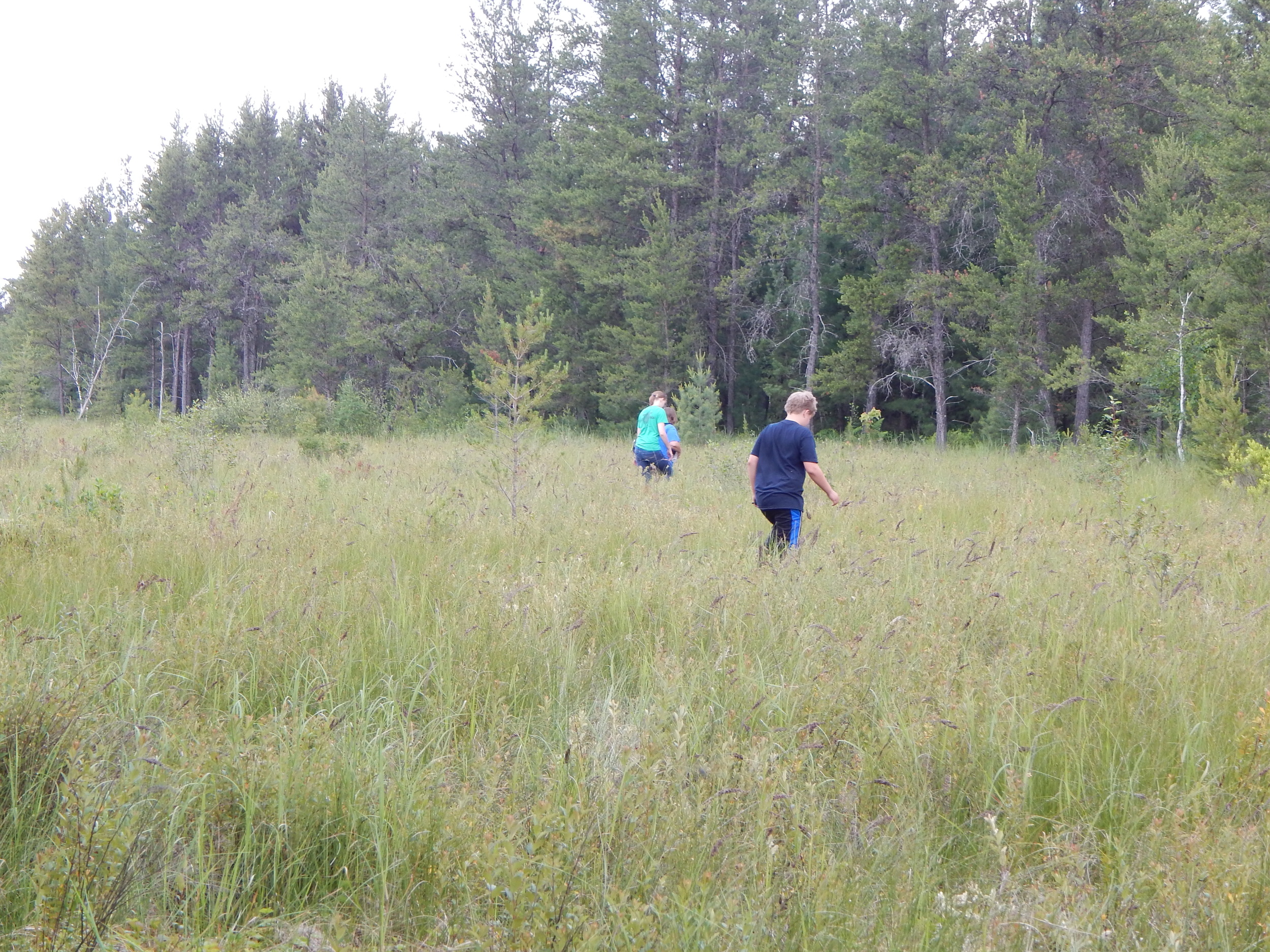
After about a 1/3 of a mile you could start to see the clear cut I scoped out on aerial maps. The only problem was it was much older than it looked online. There was also a lack of animals and humans making trails. Normally if I went to a place that was logged like this up in the Blue Hills there would be atv and off roading ruts everywhere but not here. Other than it being logged it was virtually untouched.
Once in the clear cut, the ferns and berry bushes where nice and high so you could not see the tangle of branches they hid. Apparently this logging job did not include chipping up the tops because they were displayed nicely for us to bang our shins and trip on.


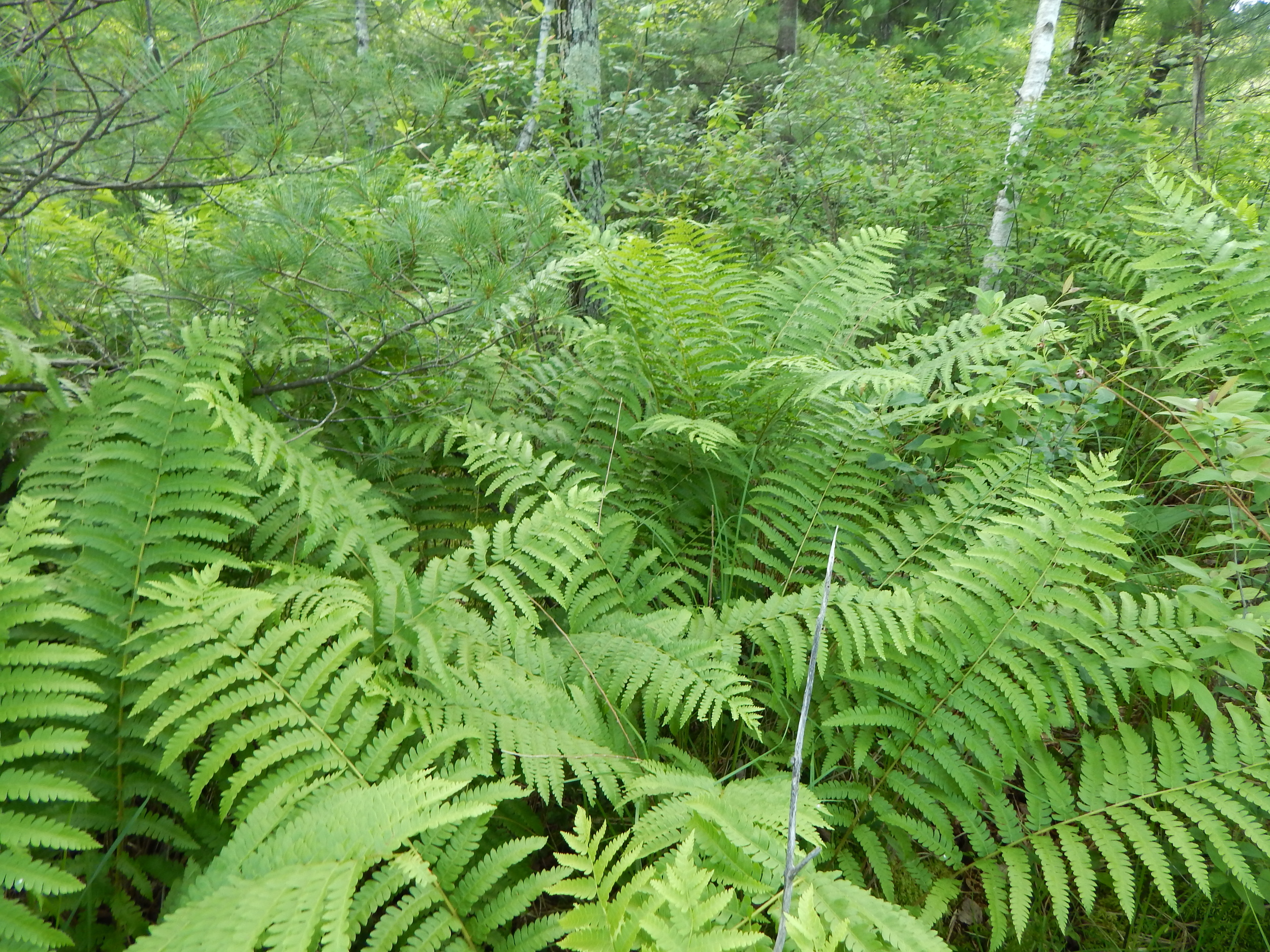
We dipped in and out of the tree line trying to find the best route. Near the last section of the clear cut I found a deer trail heading somewhat in the right direction. It lead us nicely across the cut until the last 30 yards where the trail turned and we had to muddle our way through the cut tops to the tree line again.
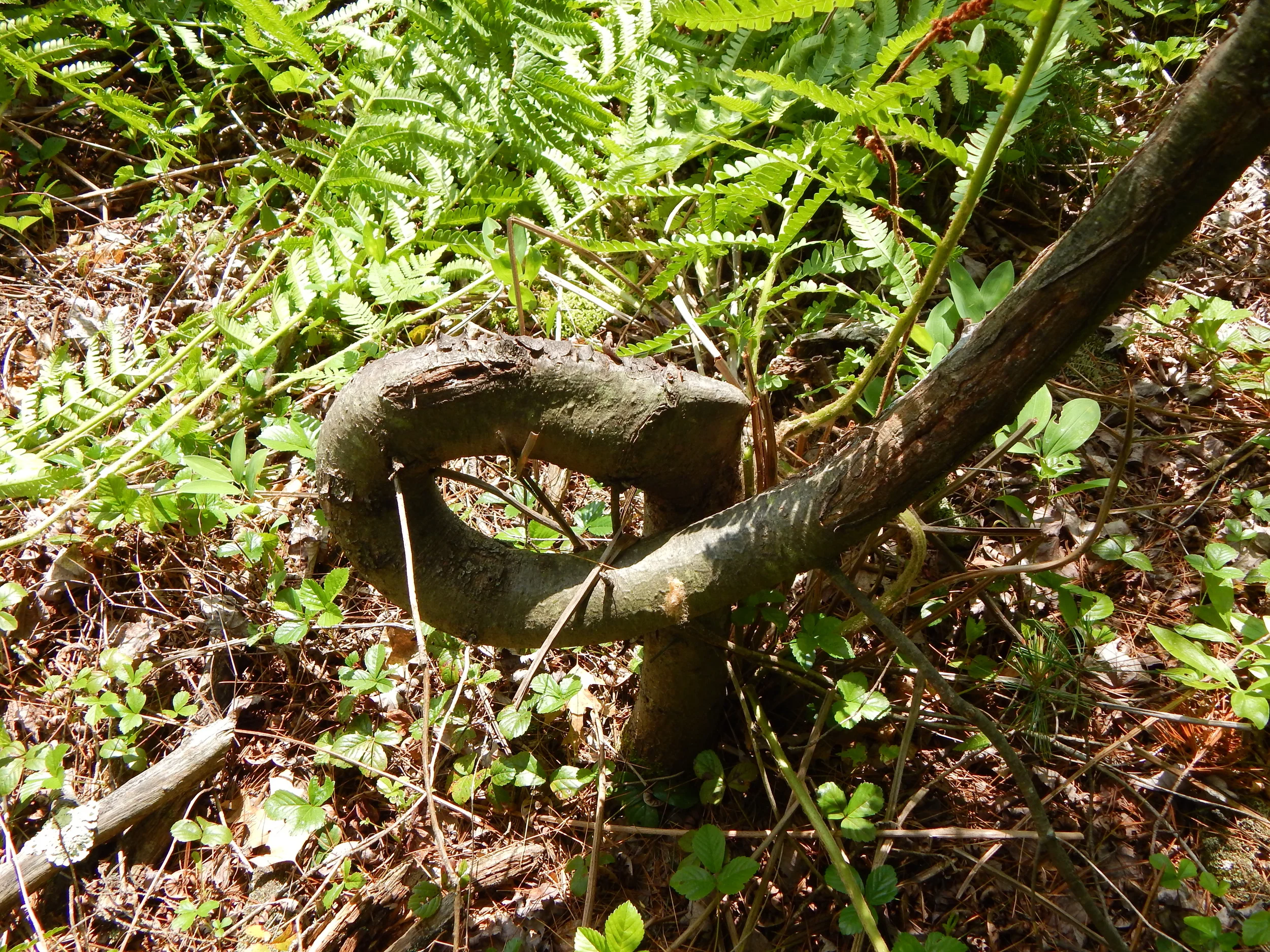
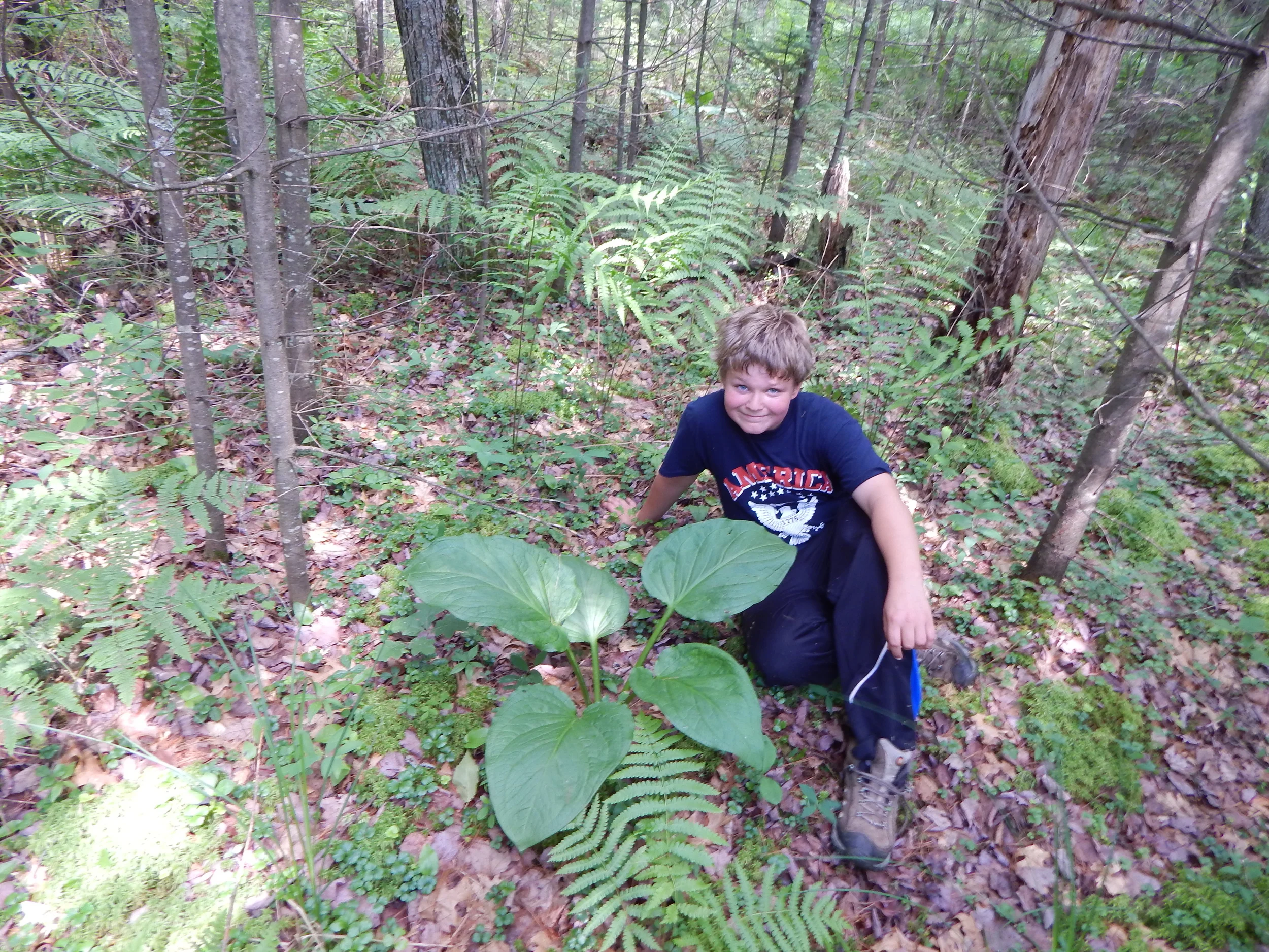
At the very edge of the clear cut was a very neat and twisted balsam. Personally for me that made it all worth it. You will have to ask Beccaday and the Cachers of Catan for their opinions.


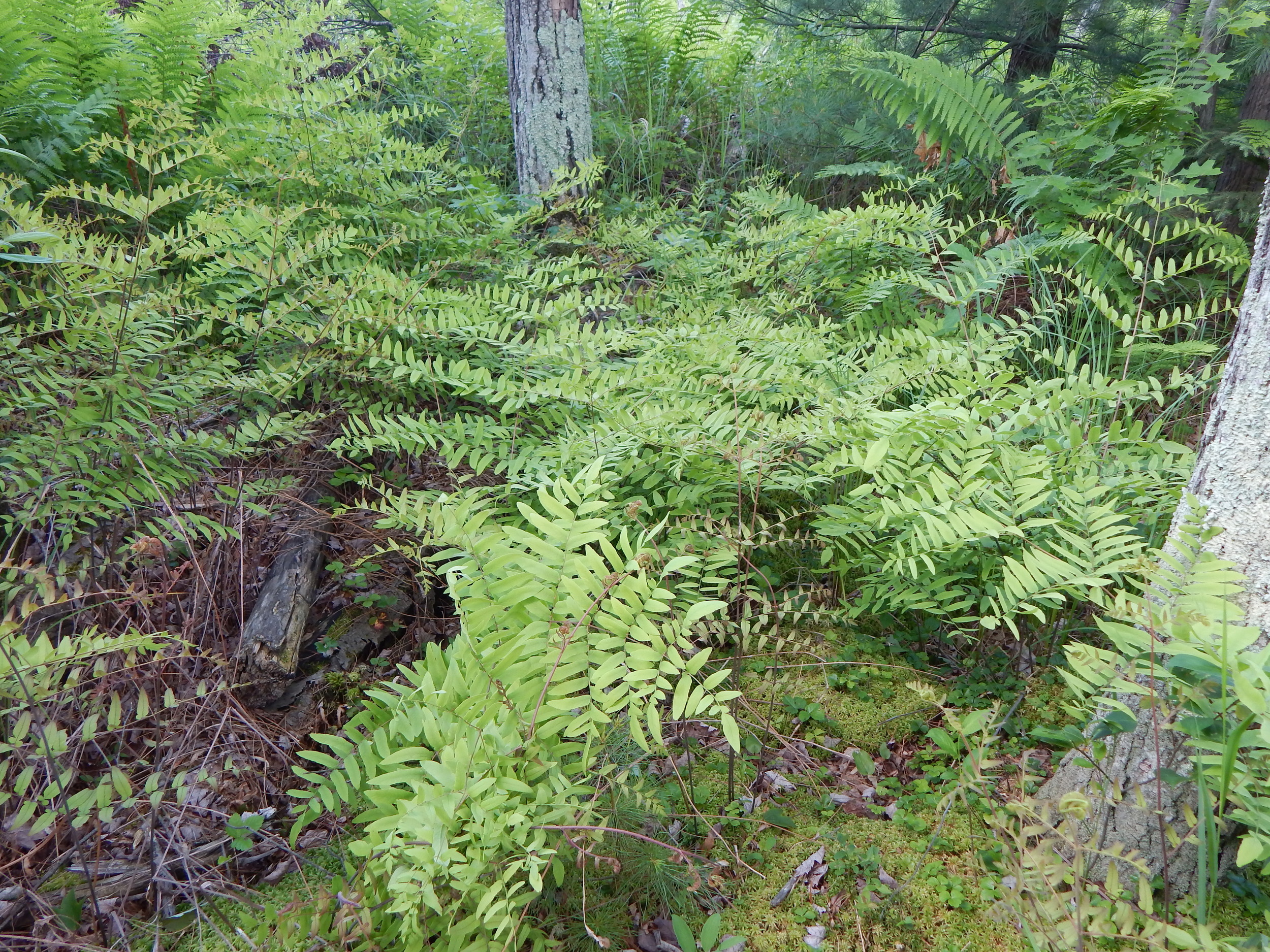
It was time for a break as we left the clear cut and before we started to head down into moist lowlands filled with white pine and then tamarack and black spruce as the ground got wetter.


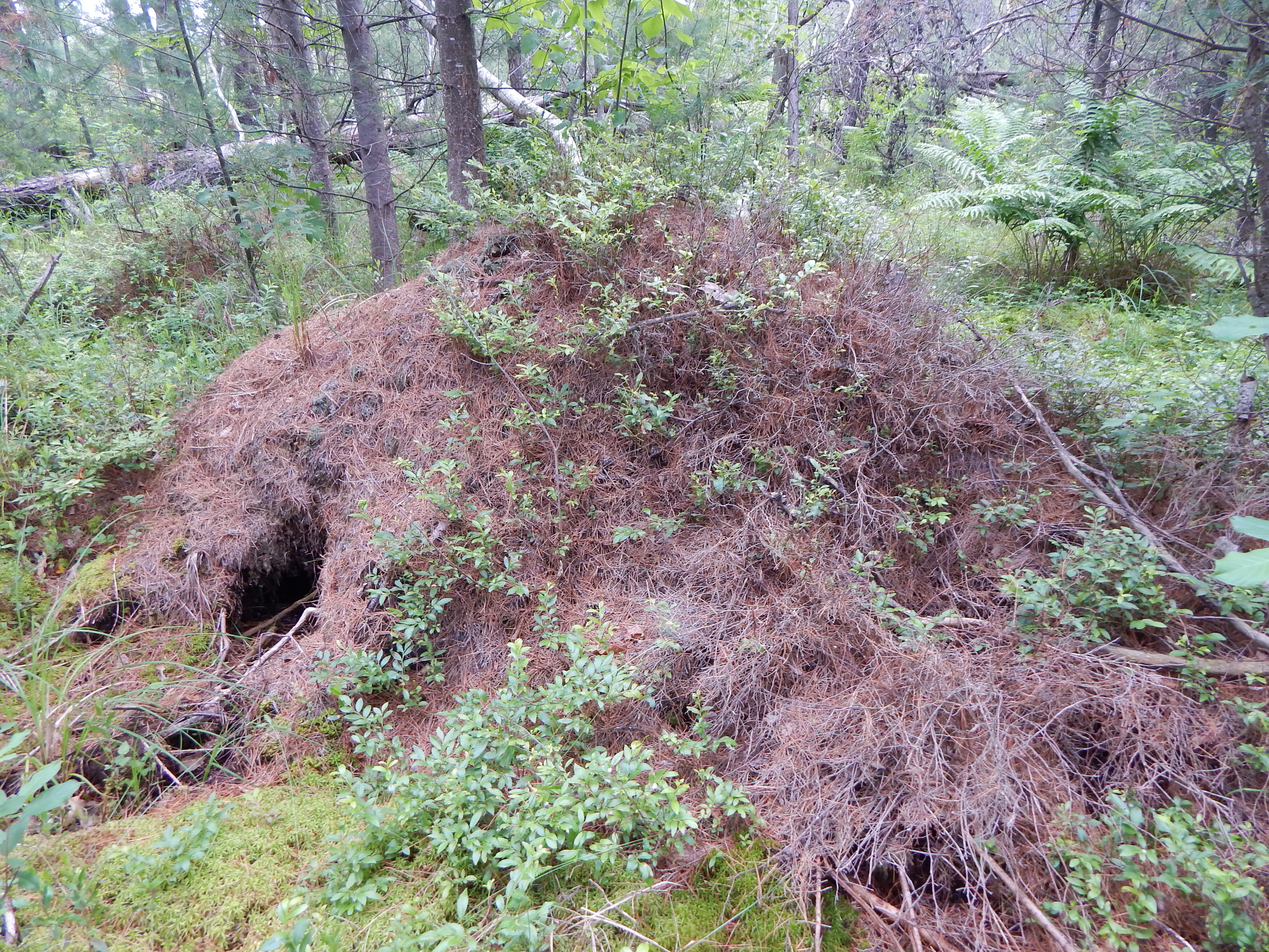
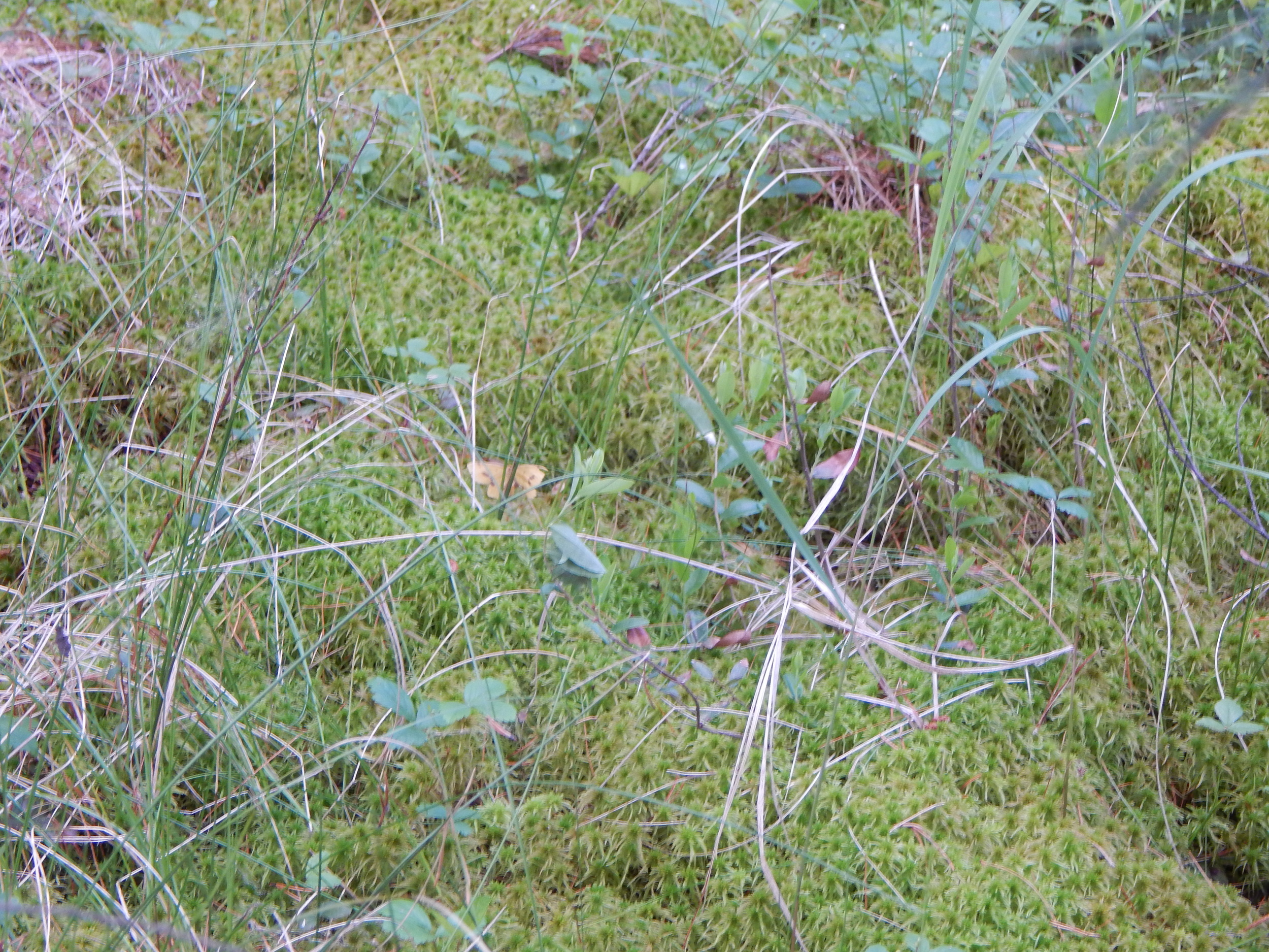
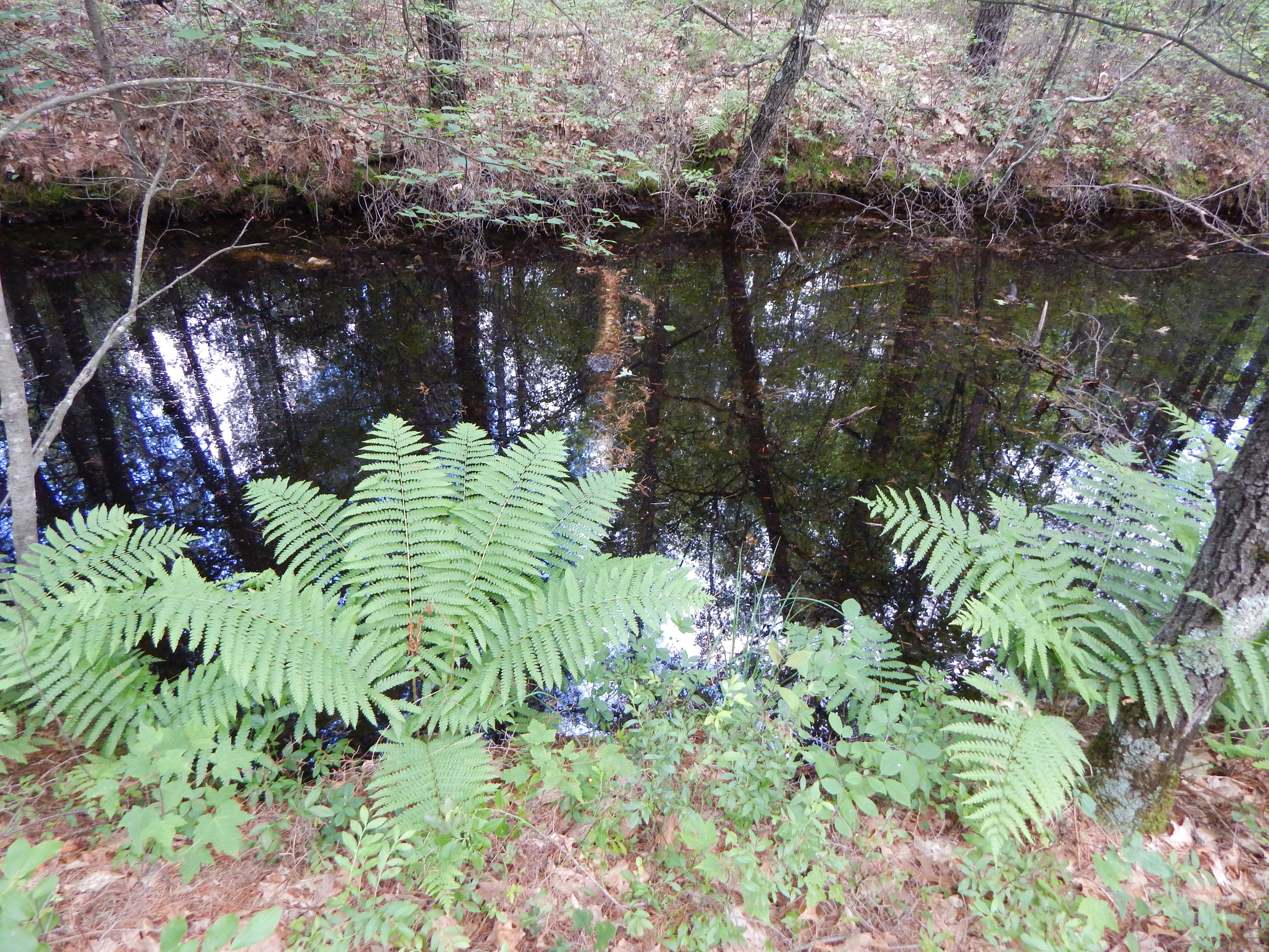
The bog swamp ended and into the marsh we stood. Ending up a little to far west in the wet Trowe Marsh. There was a lot of water making navigation tough. We spotted a pair of abandoned rubber boots that were caught in the peat. At least there were no feet.


We headed northeast to get back into the tree line to see if it held higher, drier ground. Not much higher at all but the tipped over trees and hummocks in the bog were easier to walk through than the marsh. I always liked these kinds of bog swamps with a heavy canopy. They are like a nice green carpet laid out before you eerily quiet and calming.


The bog ended and the marsh began. A moist crossing awaited us before we could continue on.

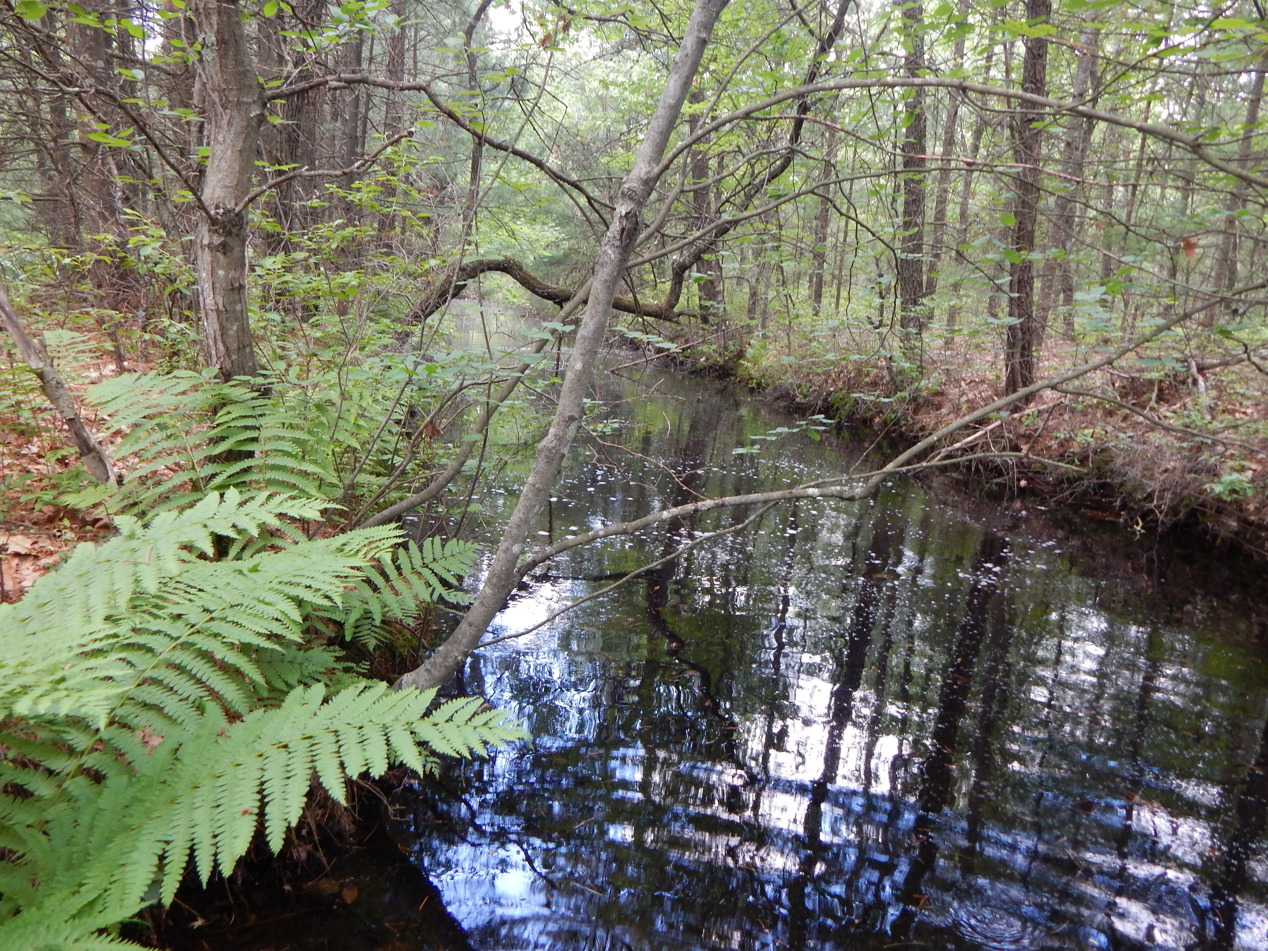
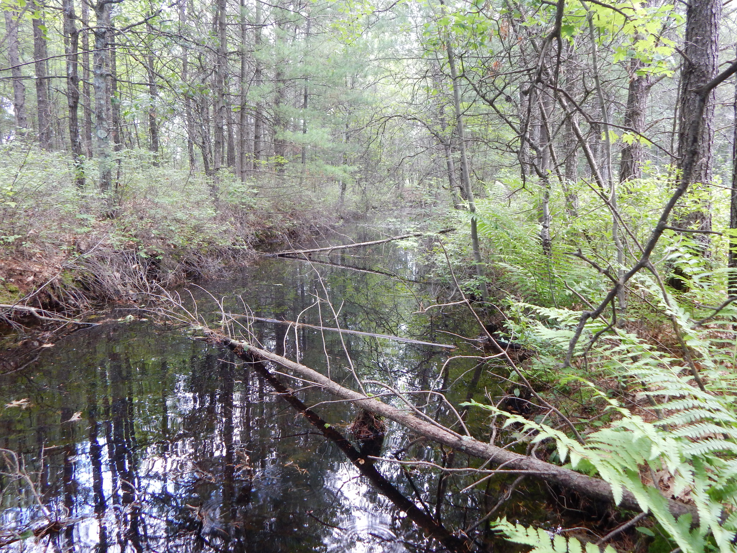
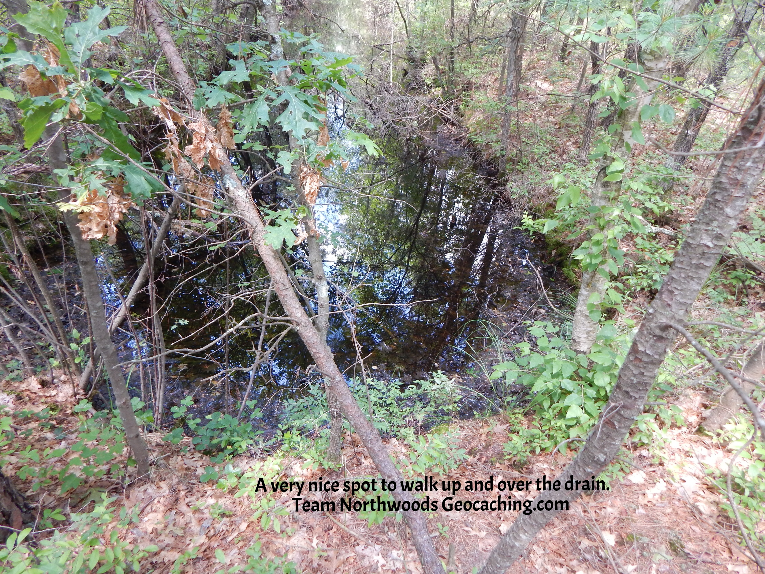
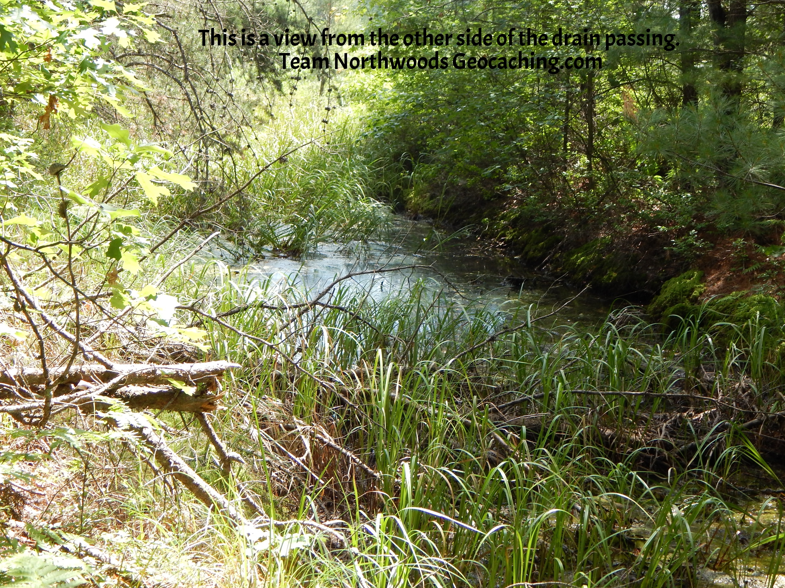
The Drain
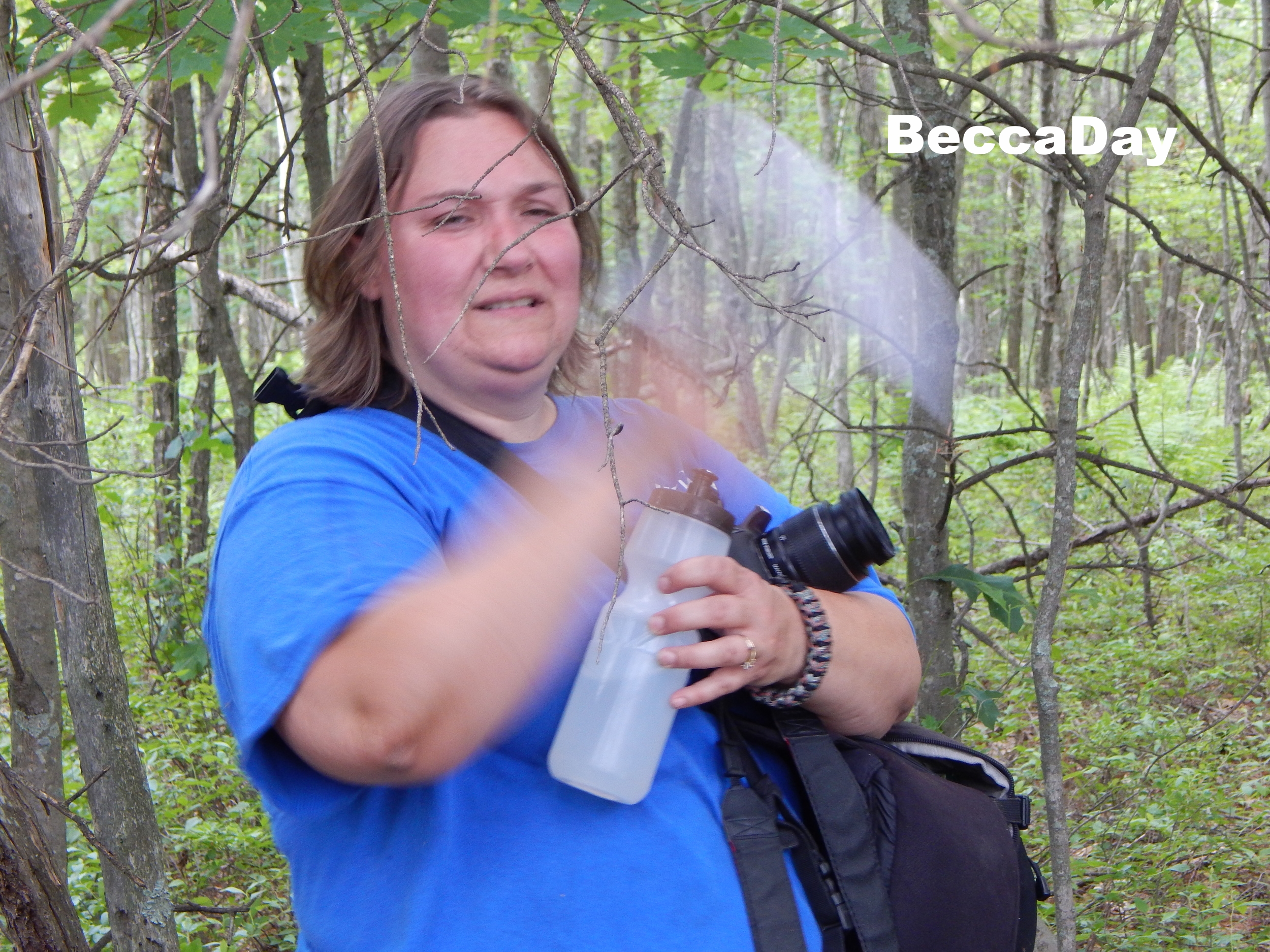
A short distance after you get back into the treeline is a ditch. Now we knew there were drains in this area but didn't think much of it. We are geocachers. We always find a way to the geocaches GZ (Ground Zero). Well much to our dismay the ditch was deep, wide and long. There had to be a way around over or through this ditch. Beccaday was gungho for a dip but not me. I knew there had to be a tree or some shallow area to cross but nothing as far as the eye could see. Stubbornly, I got them to follow me. Make sure you check out the very last 2 slides.
Sloughy Pockets
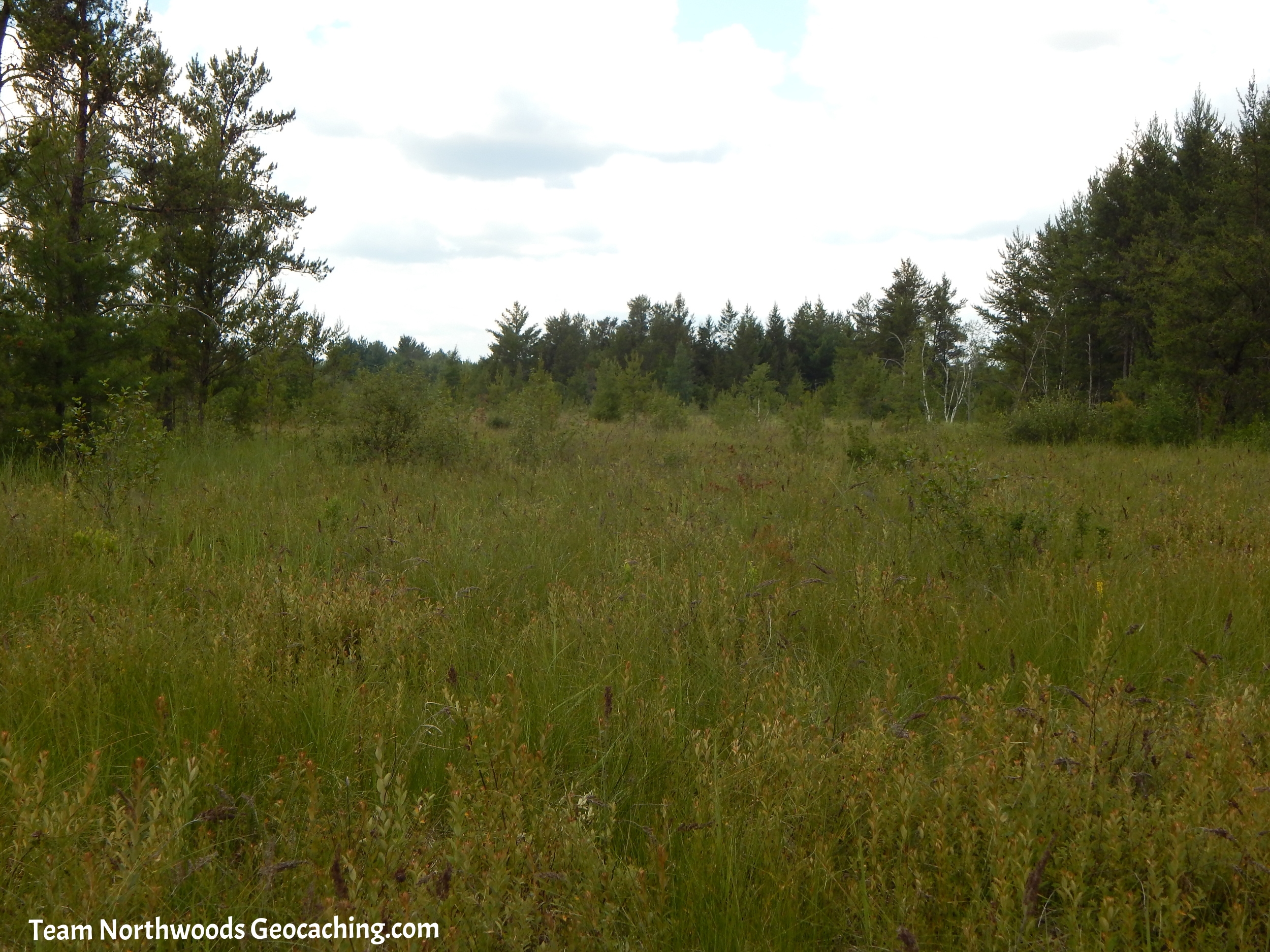
Passing the drain put us on our final leg of this adventure. About 600 feet from the GZ to the west were a bunch of (for a lack of a better term) sloughy pothole depression pockets. They looked very deep and made great mosquito breeding grounds as you could tell by the constant buzzing and biting. Up to this point there were very few mosquitos compared to right here. Other than curiosity by some, most geocachers will probably miss these neat little pockets by beelining to the GZ more to the east.


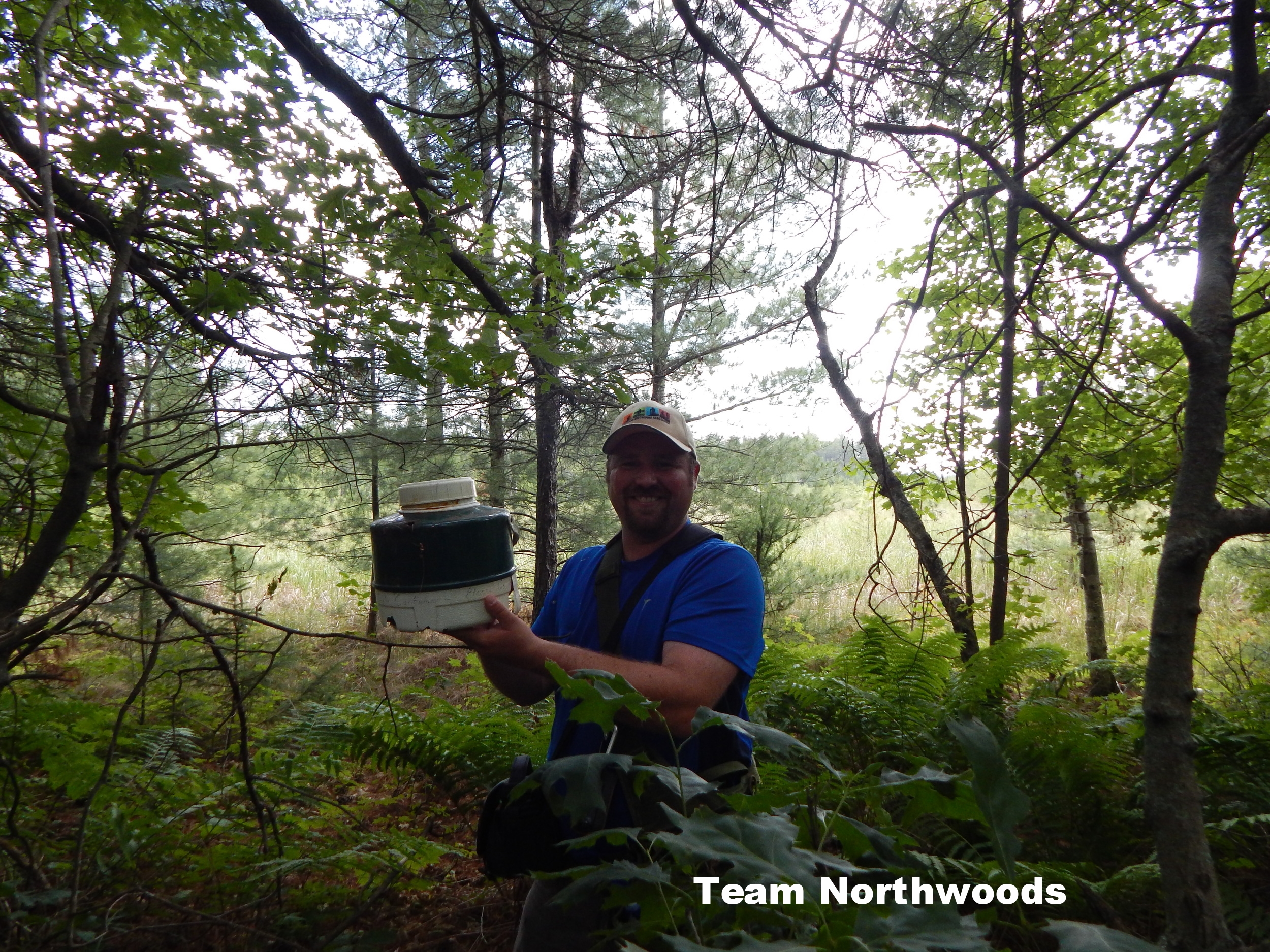
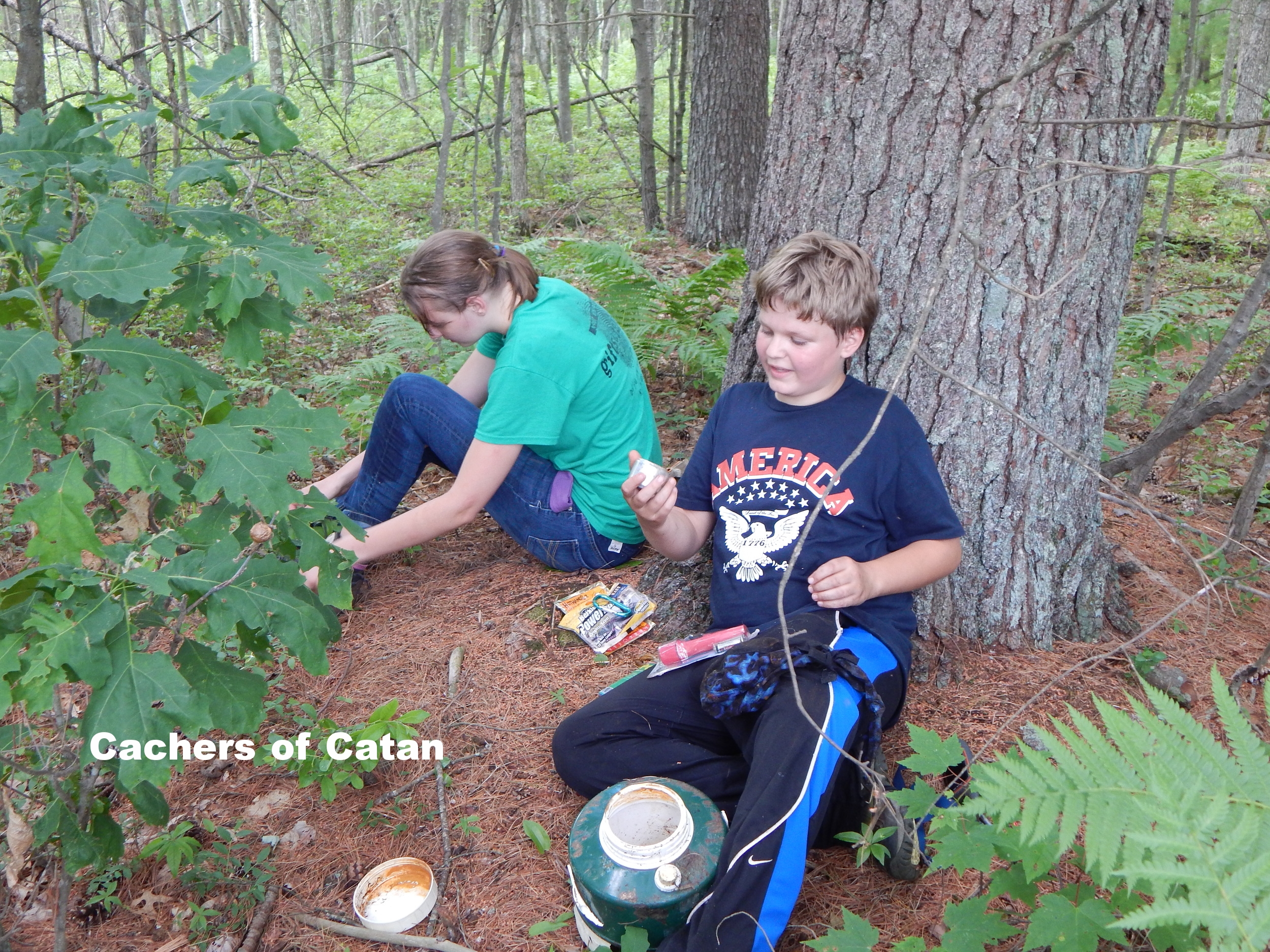
At Last the GZ
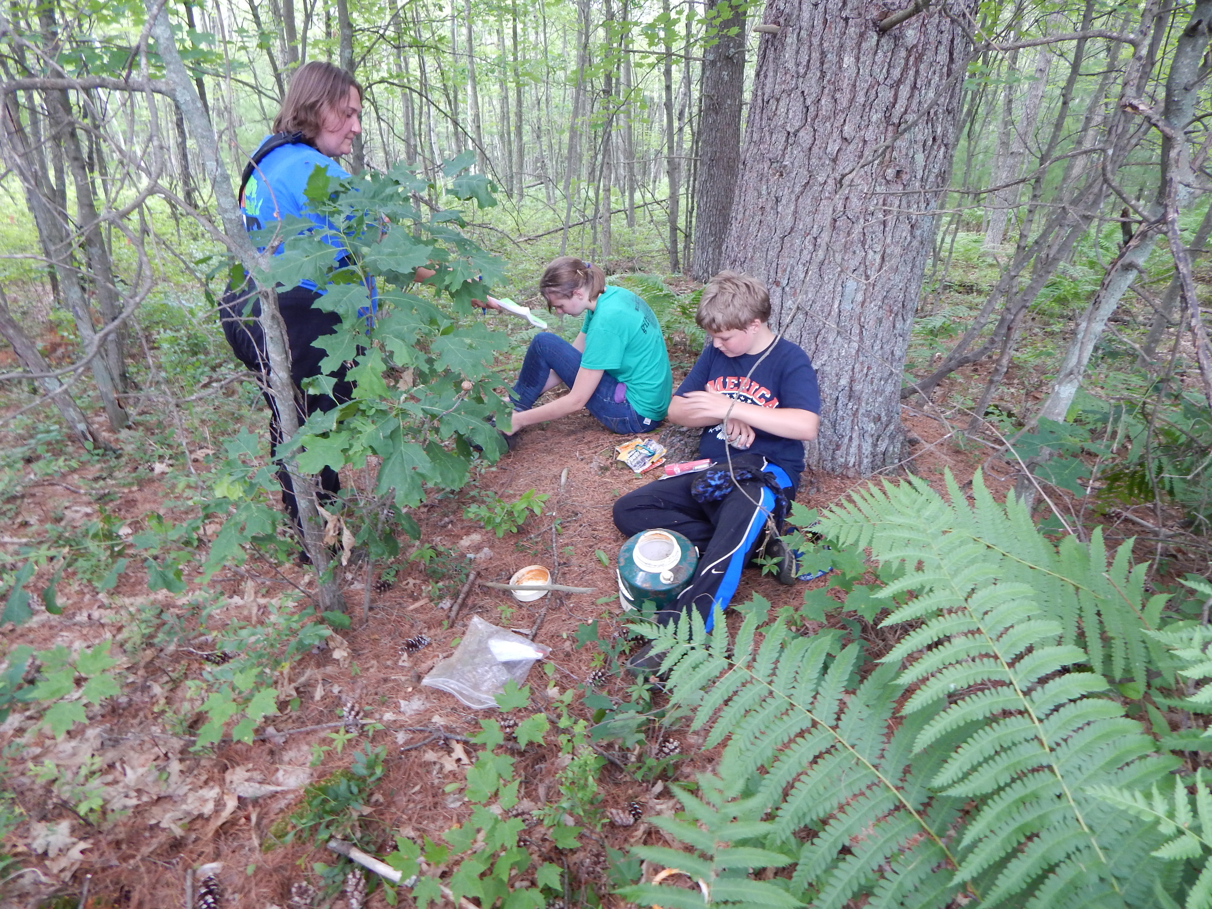
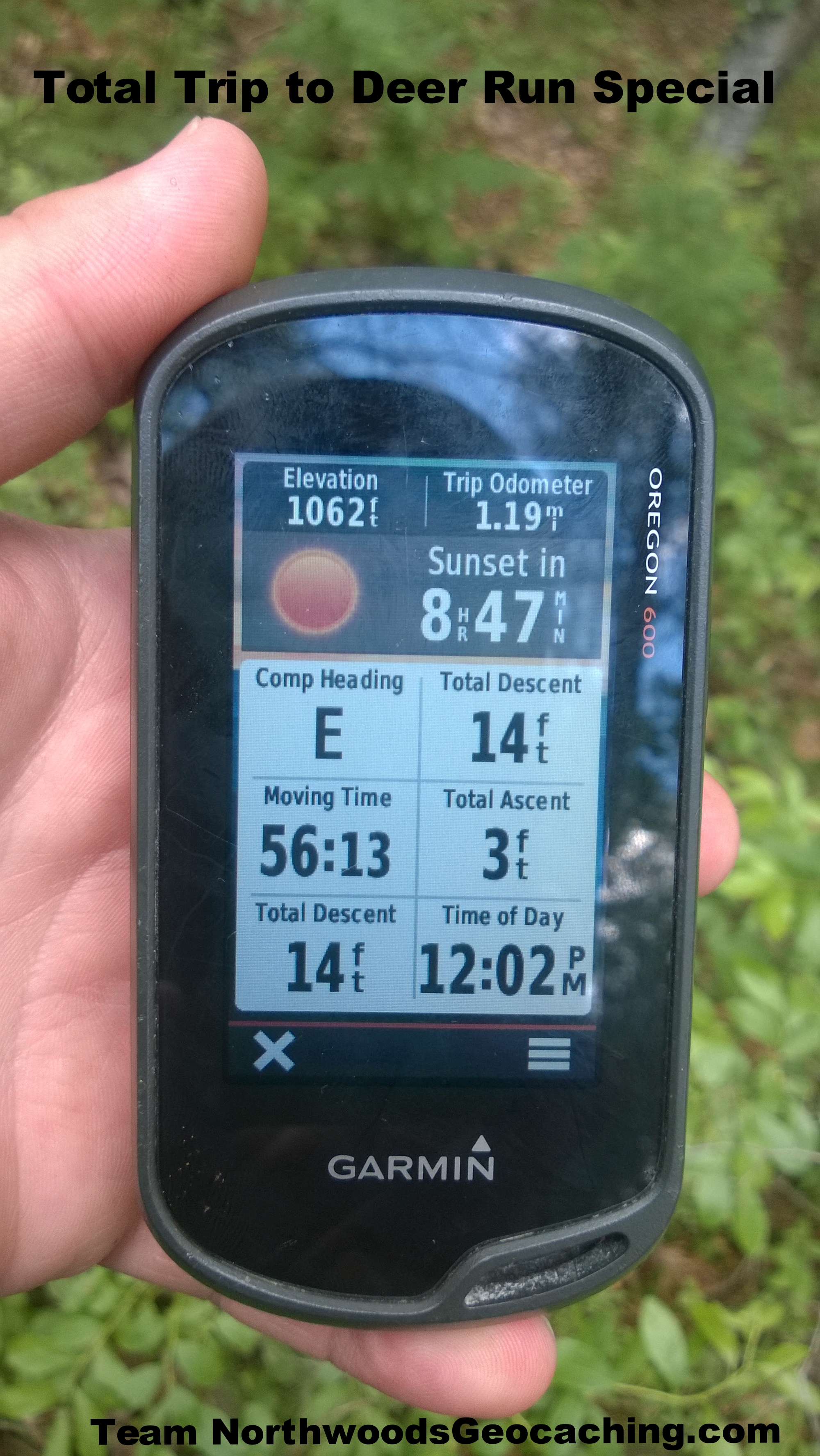
Once at the GZ the cache could be seen quite easily. After this journey a cache like this is exactly what we were looking for. The trip in was 1.19 miles with an ascent of 3 feet and descent of 14 feet. It took just under an hour for the trip in and to find the cache.
A quick break to examine the swag, check for TB's and sign the lonely log was all about we had time for. We were already late for the event and we had to preserve our blood for the journey out.
Looking Back
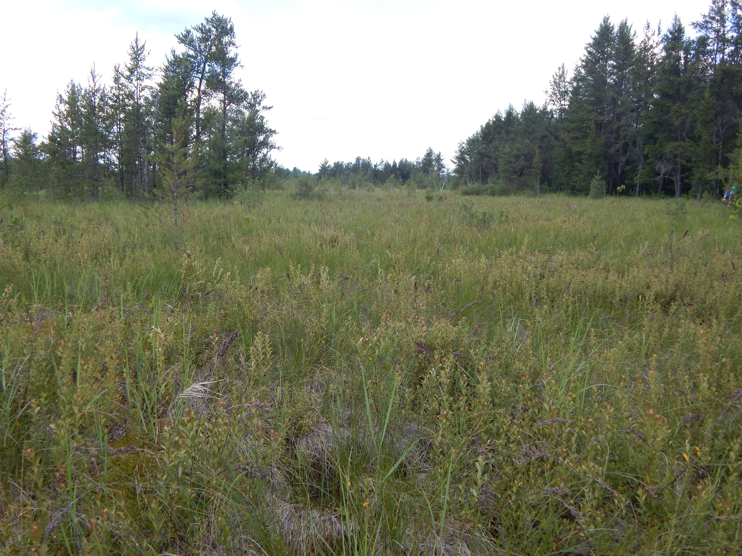
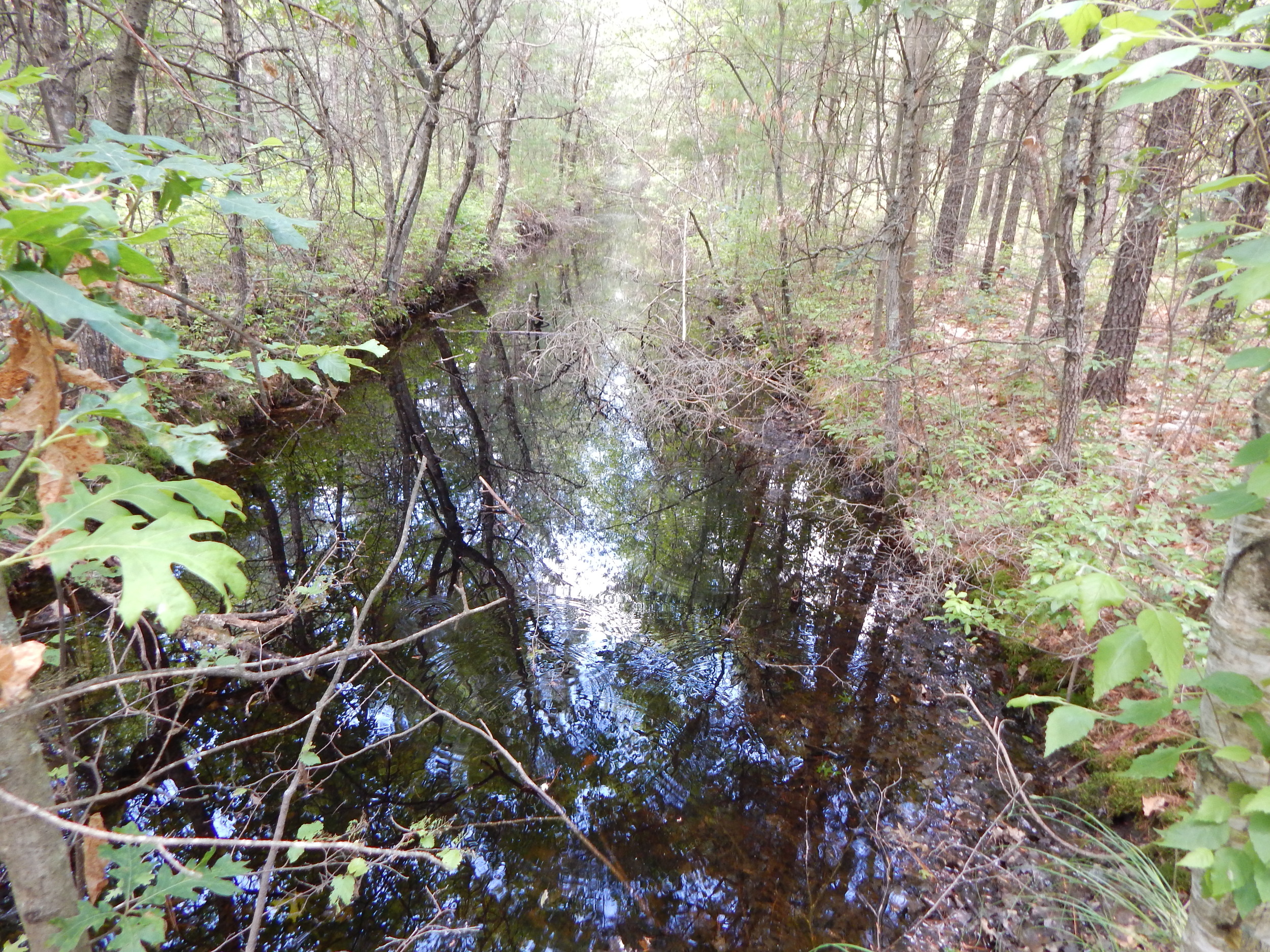
In the picture below. As far as you can see down the shoot. On the left treeline is the Little Deuce cache. On the right is where we parked. We worked the right side all the back out. The last picture shows our total trip on this adventure. 1.89 Miles. Amazingly our total ascent was only 17 feet. No big hills in here. We cut a lot off our round trip on the way out. Isn't that the geocaching way? Hard way in. Easy way out.
We were very late for raslas's event at Lake Arbutus. I did get to stop in for ten minutes to say hello and eat some trash can turkey before having to book it back home and bale hay.
See you on the trail and have fun!
