About 10 miles East of Park Falls on Hwy 182 in the Chequamegon National Forest you will find some No Name Lakes.
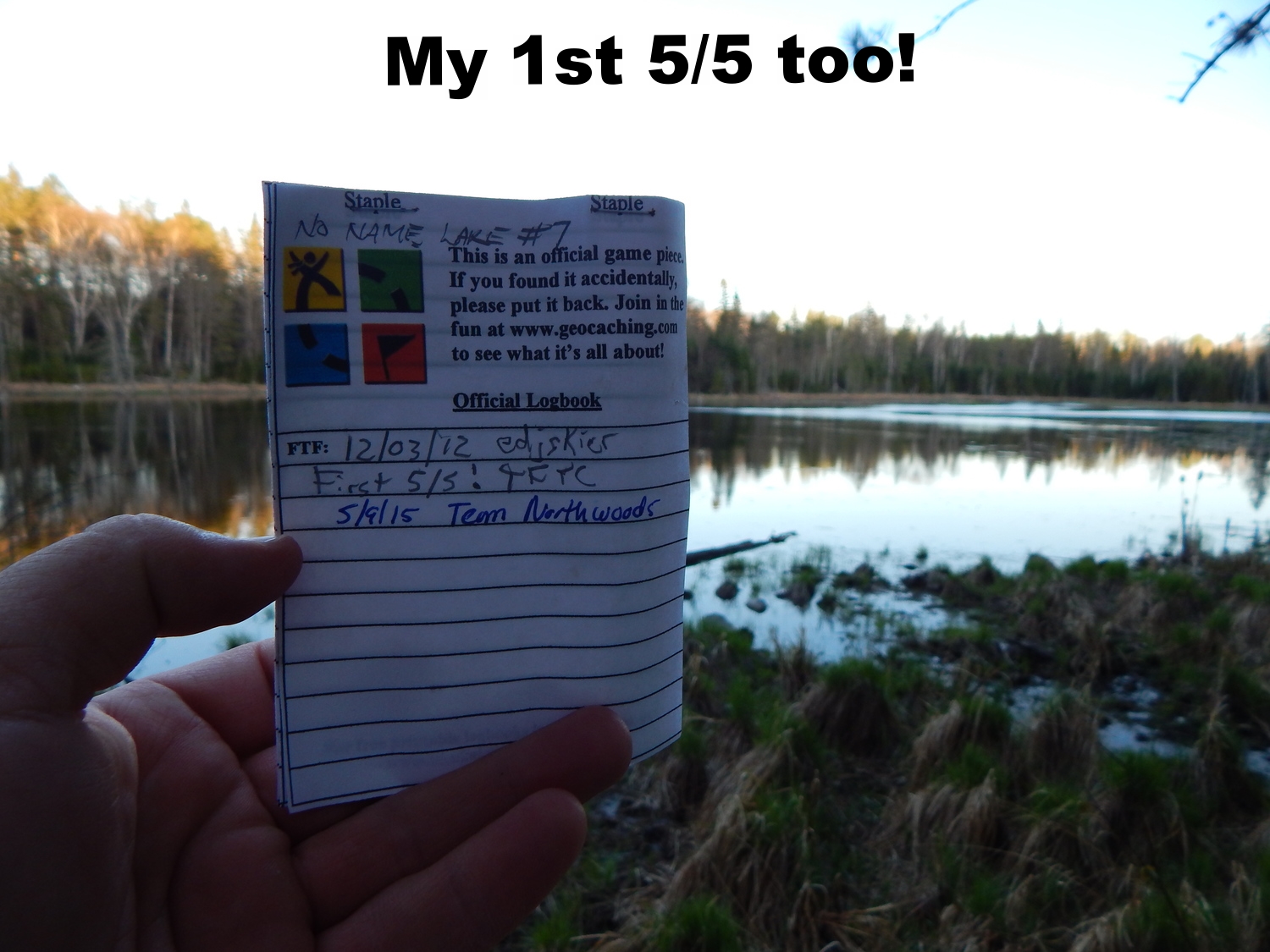
What drew me to this area was the way the caches were set up for you to find your own path and a chance to explore some lakes off the beaten path. As an added bonus No Name Lake #7 was rated as a 5 difficulty / 5 terrain cache. I have yet to find a 5/5 cache. In order to find No Name Lake #7 you must first find No Name Lakes #5 and #6.
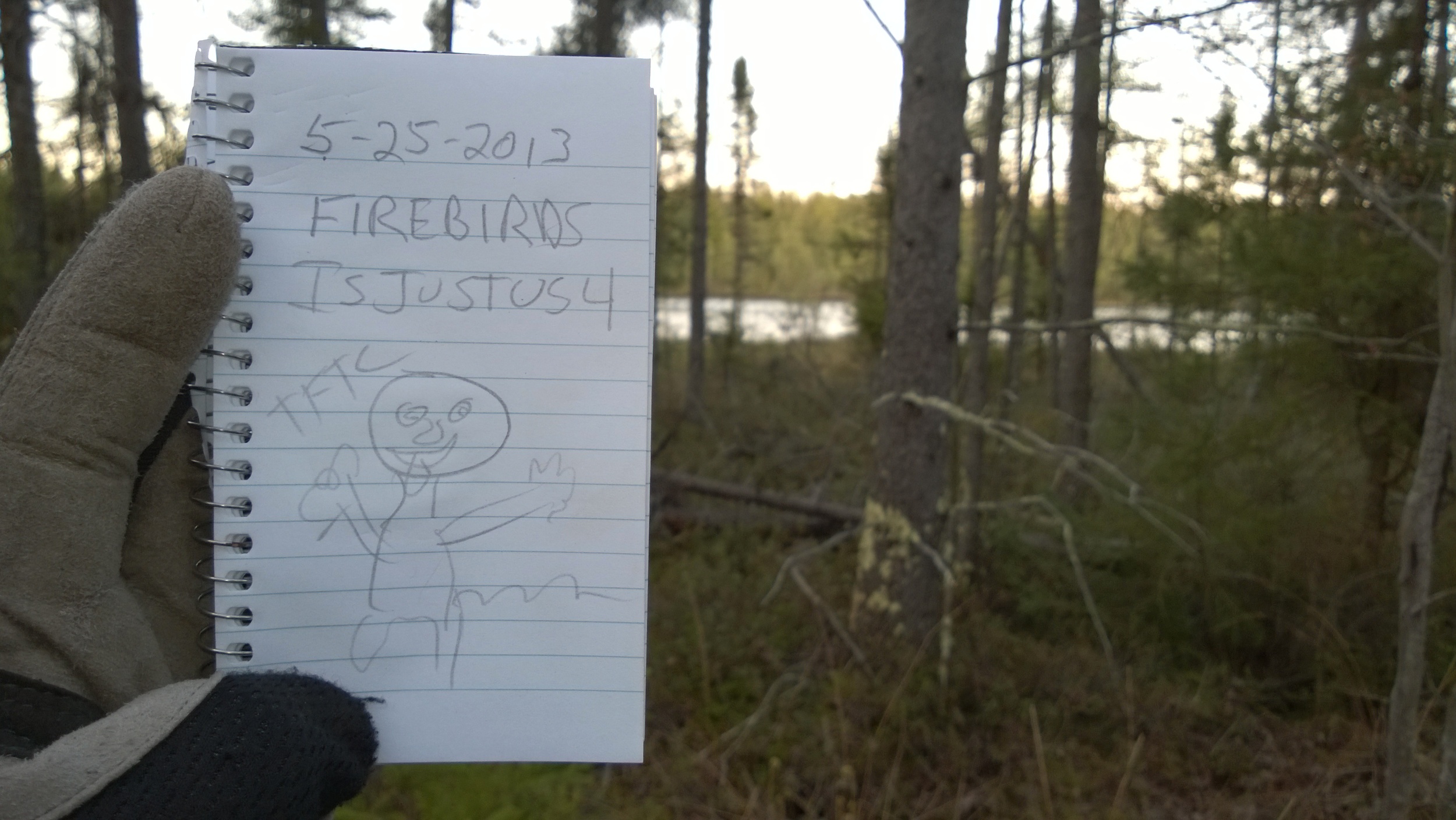
No Name Lakes #5 and #6 GC41VQ7
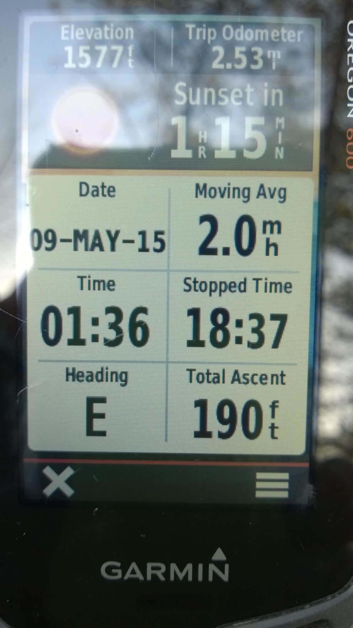
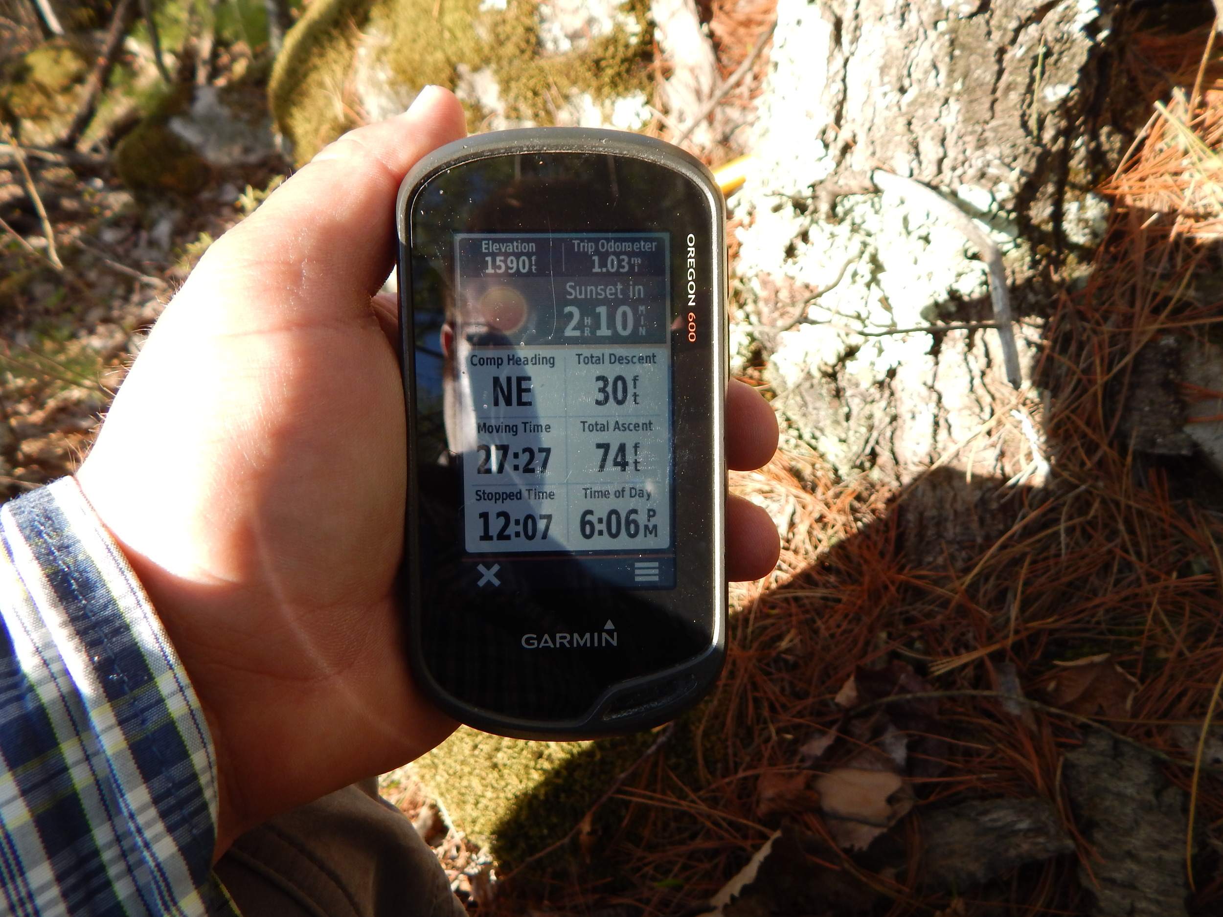
The key to finding these caches is to do a little research about the area. I pulled topo maps, Google Maps, and Garmin Maps to see what I could find. The only problem with topo maps is most of them are 60 or more years old making the roads and routes on them no longer valid. I am more interested in terrain maps to see how the ridges run and where the waters lie. I use 24k maps on my Garmin Oregon 600 GPS. I find the map detail invaluable when it comes to adventuring into the unknown.
Another resource I found after I went to some of the No Name Lakes is http://viewer.nationalmap.gov/viewer/ . Here you will find topo maps with photo overlay.
One of the most important tasks is taking the time to drive around the area doing some reconnaissance before choosing a course.
You might just drive right through the middle of a landing strip
Reconnaissance is also one of the hardest parts; having to stop yourself from just tromping on in before you assess the lay of the land. By all means jump right in but later on I will show you a reason why doing that could lead to a dead end or a long work around.
I got a very late start and did not get on the road until about 3:00 pm. I had to wait for my wife to get home from work to watch little miss Ellie before I could head out. It was about 5:00 before I started walking face first into the chilly north eastern wind.
Instead of giving to much away and spoiling your adventure, I will start mine half way in.
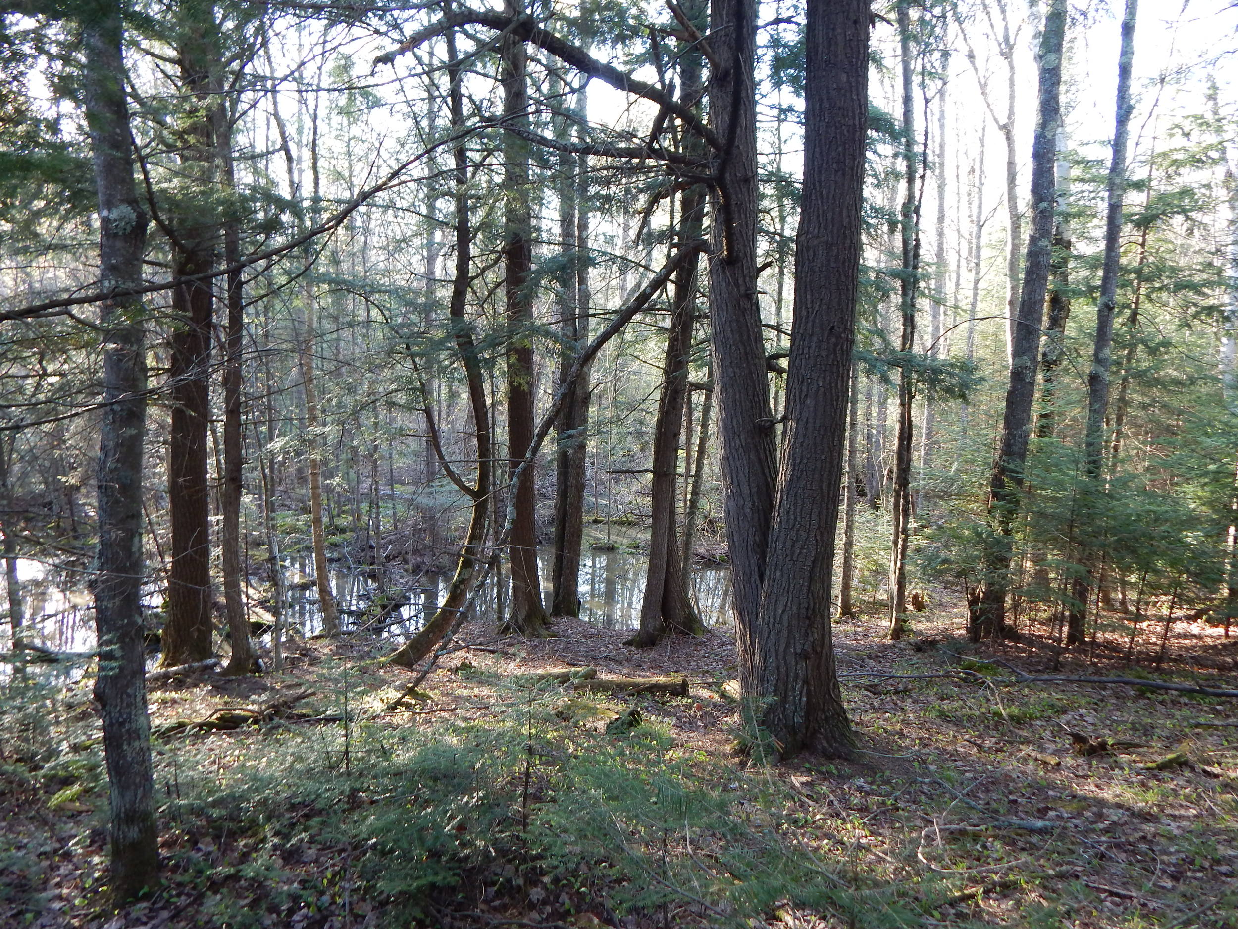
So far the walk has been relatively easy but now it was time to take the path less traveled. Meaning no trail at all. As I was cutting across an old loggers landing, I started to hear the croaking of frogs ahead. That meant water. I looked down at the topo and did not see water or marsh but that sound tells me otherwise. My course ended at a very flooded bog.
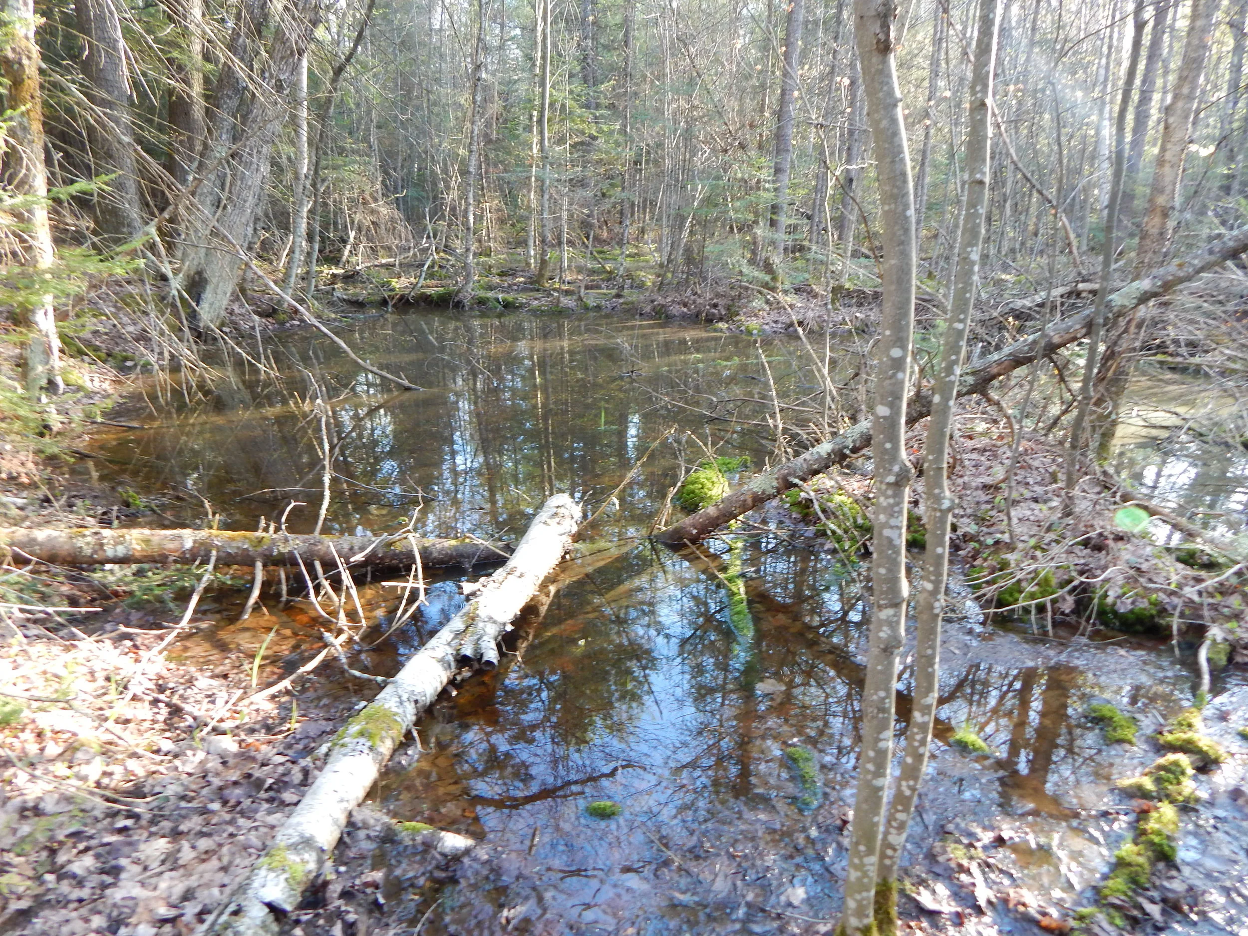
Flooded Bog
An old destitute game trail skirted around the flooded bog and lead me right into a thick patch of balsams. Up the side of the next ridge I went, ducking and dodging the dead limbs while being taunted all the way by a much louder colony of frogs ahead.

Croaker Colony
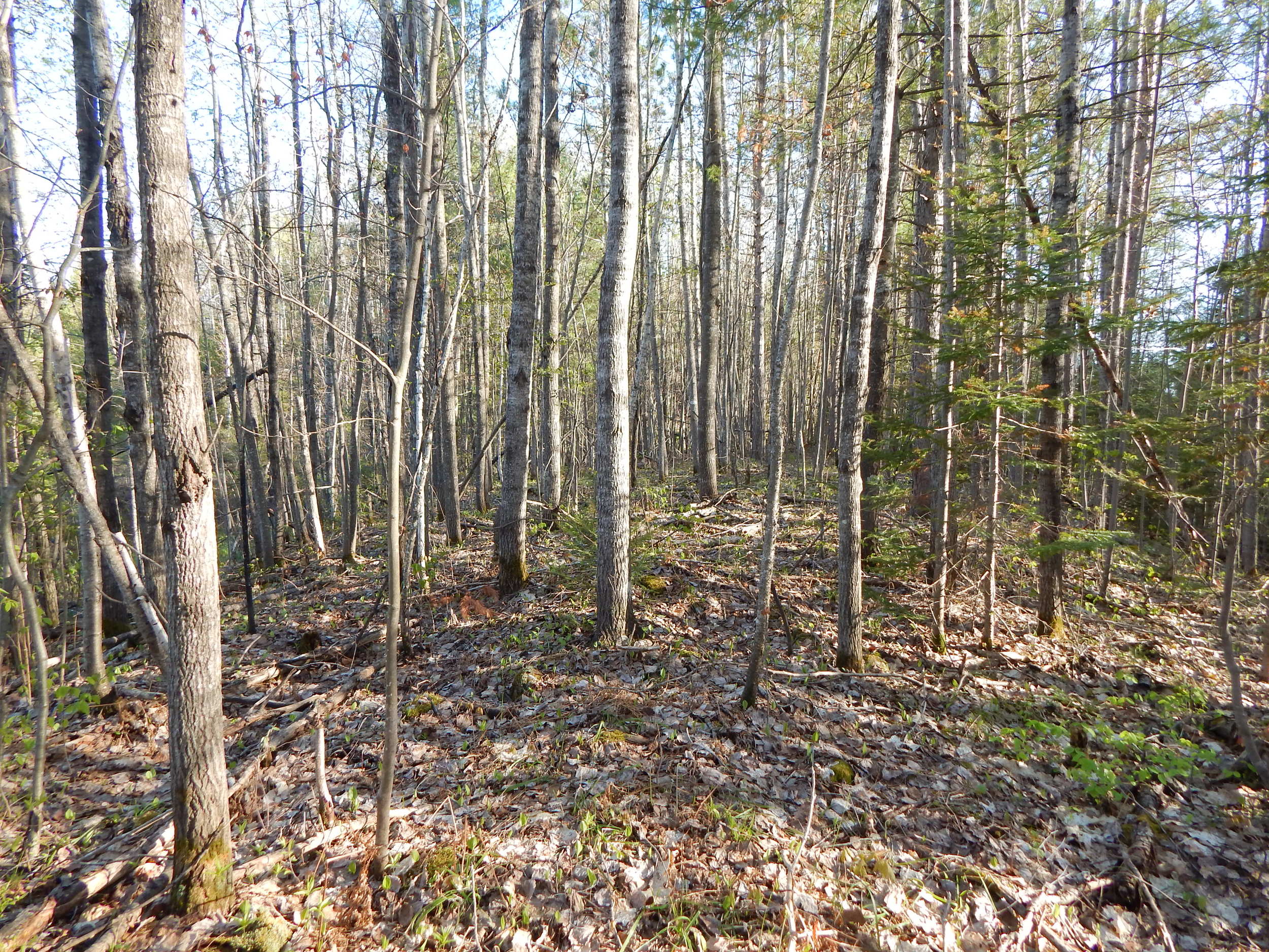
I surveyed my location and it looked like I was on the right track. This small ridge should bring me close to No Name Lake #5. The balsams broke into a more open stand of popples. There was very little wind down here. It was actually too warm with the straps of my large pack holding my body heat in. I packed ready for just about anything with such a late start in.
The ridge began to narrow and now I could see water on both my left and my right. Hoping the ridge followed through and the bog swamps did not loop around cutting of my route. I saw something like this before.
Well isn't that convenient! Is a ridge allowed to do that?! Surprisingly more then you would think.
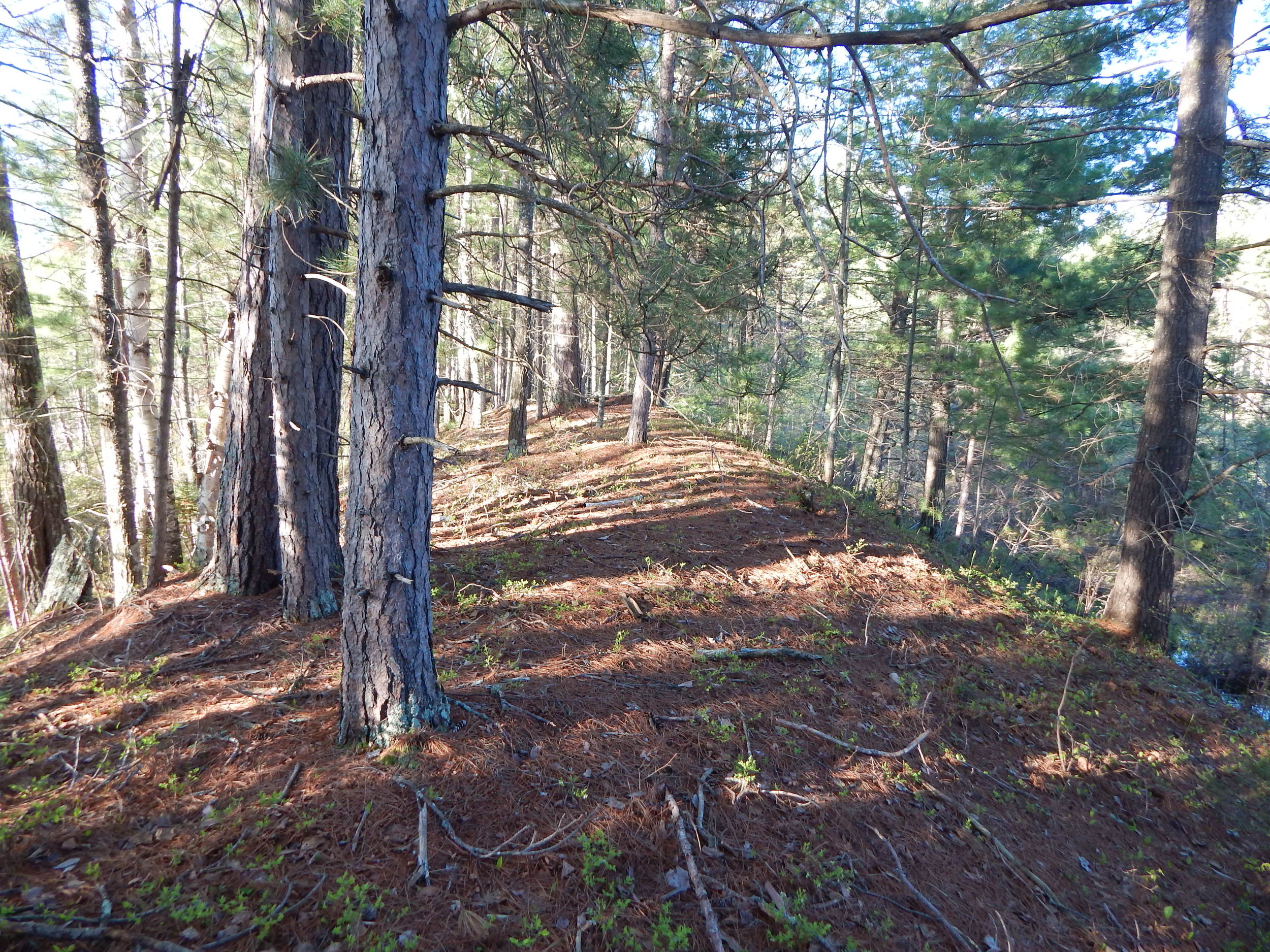
Luckily when the ridge sloped down it connected right to the base of a very steep rock knob. It looked quite out of place from the landscape so far.
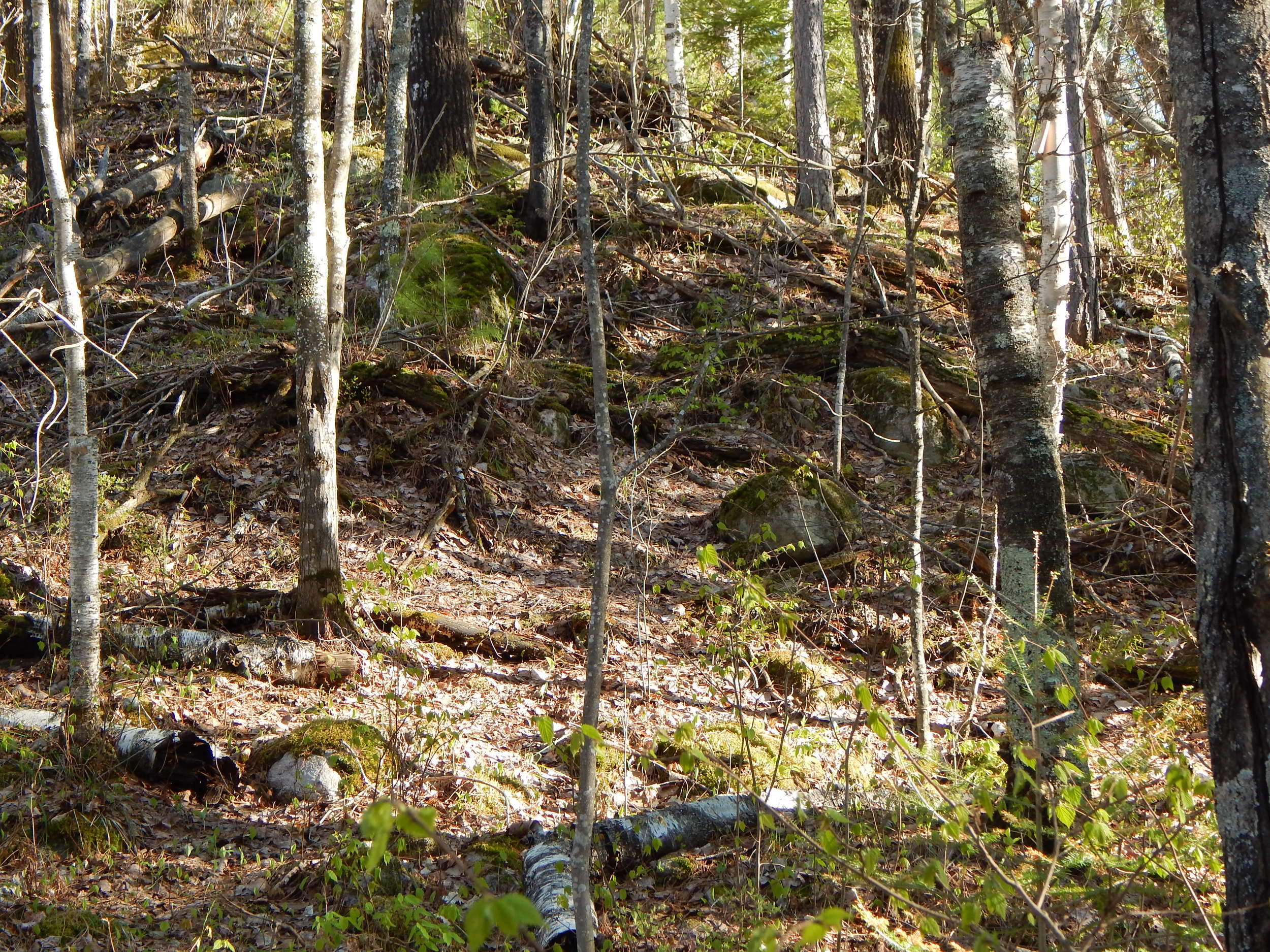
Rock Knob
Stage 1 should be right up there. Almost makes you think a felsenmeer could be in here somewhere. I think I will let that thought just pass.
I walked about 1 mile to stage one of this 3 stage multi.
From Stage 1 you could see No Name Lake #5. The wind was whipping across the top of Rock Knob. Of course I packed everything with me except the kitchen sink and an additional layer for warmth.

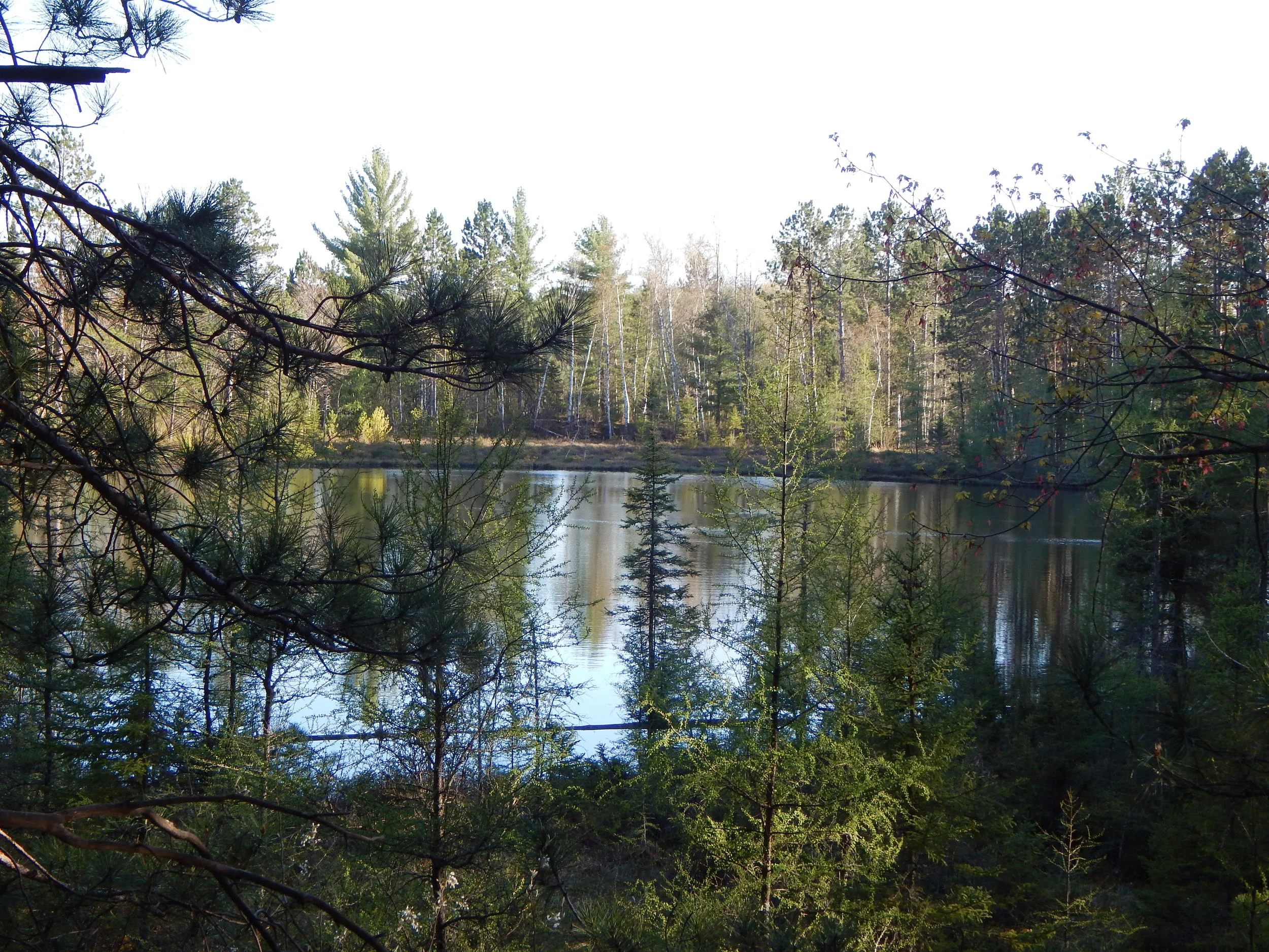
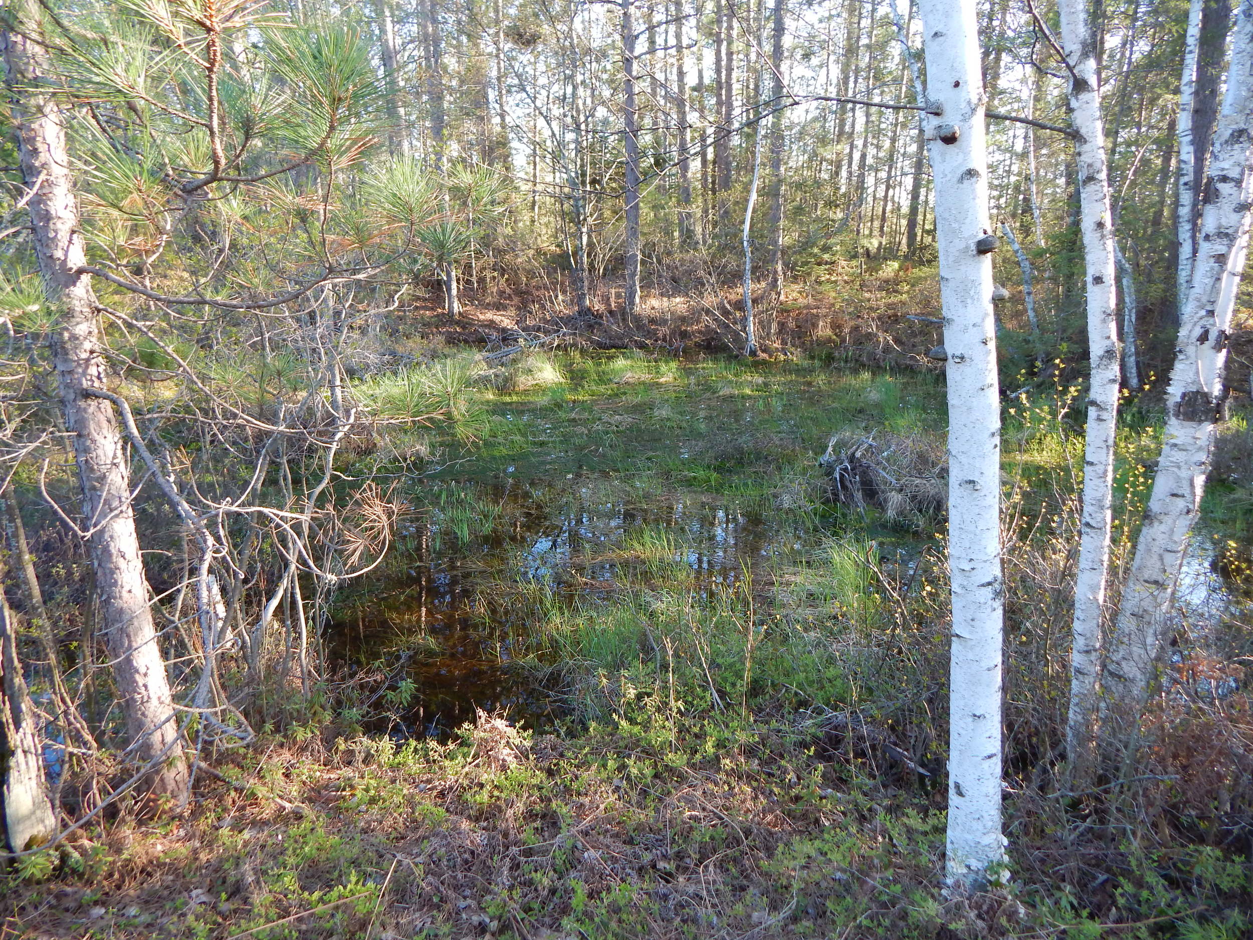
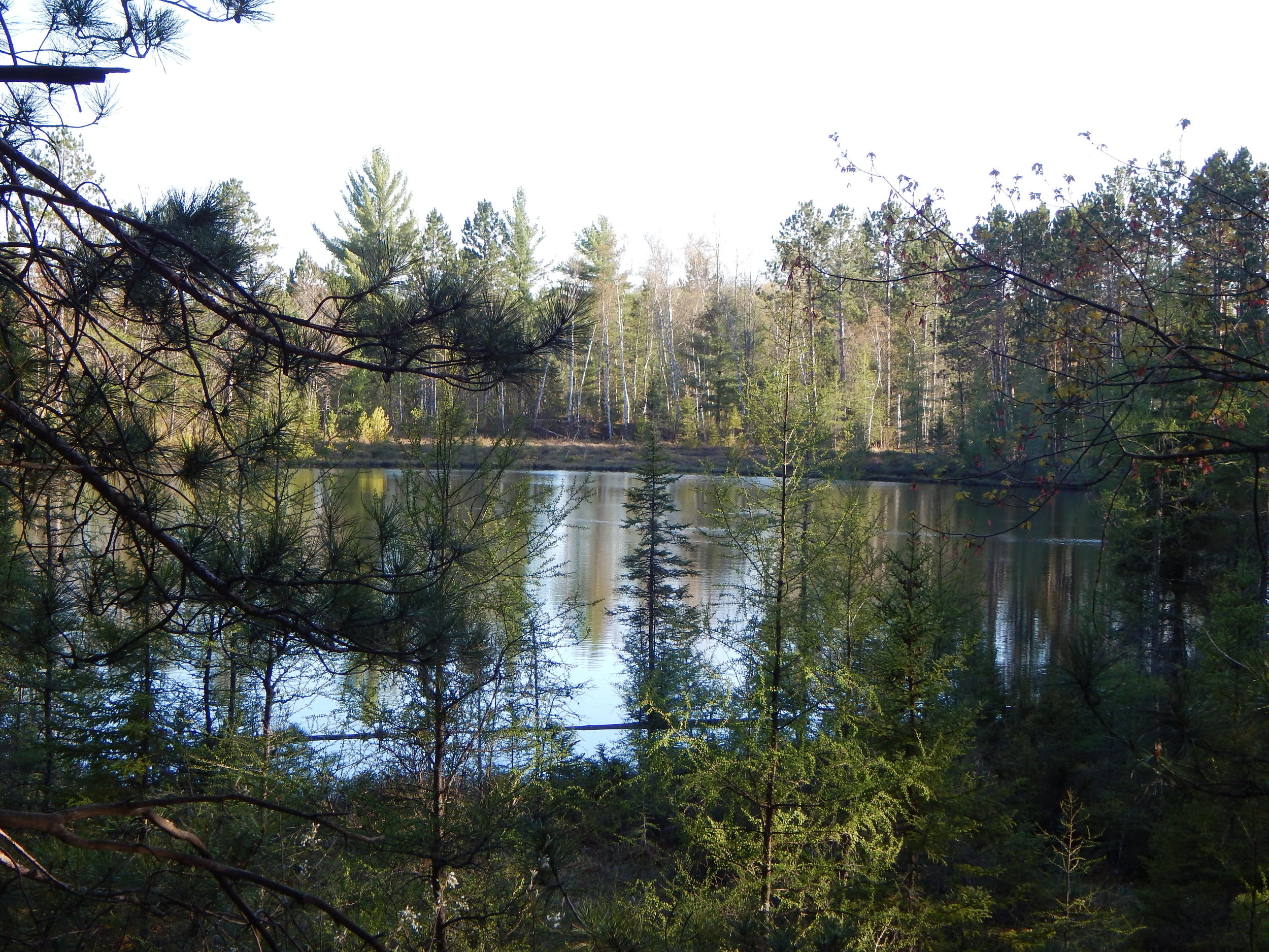
No Name Lake #5
From Stage 2 you could see No Name Lake #6.
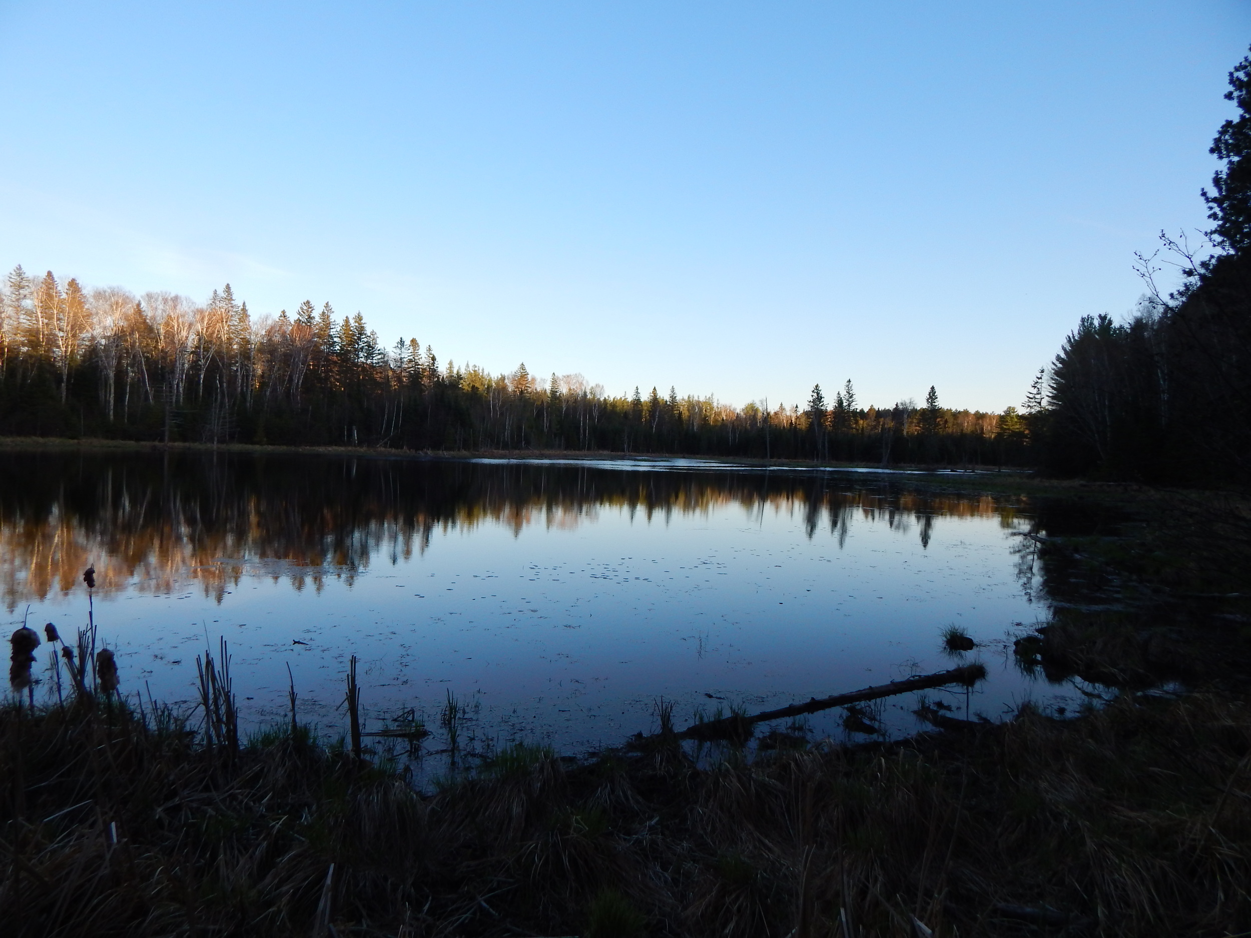
No Name Lake #6
Stage 2 gave me the coordinates to the Final Stage of this Multi-cache. Inside the Final Stage you will find the coordinates to No Name Lake#7. I did a little exploration of the area and then off to the final stage.
Total round trip was about 2.5 miles.
Most important note about this part of the adventure. NO TICKS! Not even one.
No Name Lake #7 GC41W7F
With the coordinates for No Name Lake #7 punched into my GPS, I was armed and ready to search for my first 5/5 cache.
I will not reveal anything about my trip to No Name Lake #7 other then a little reconnaissance before you step out of your vehicle will go a long way. I can share some pics of the final location without giving anything away.
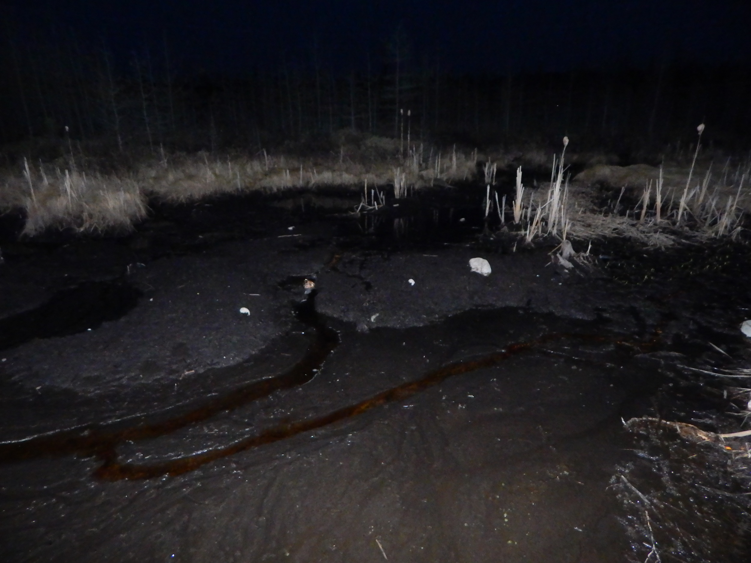
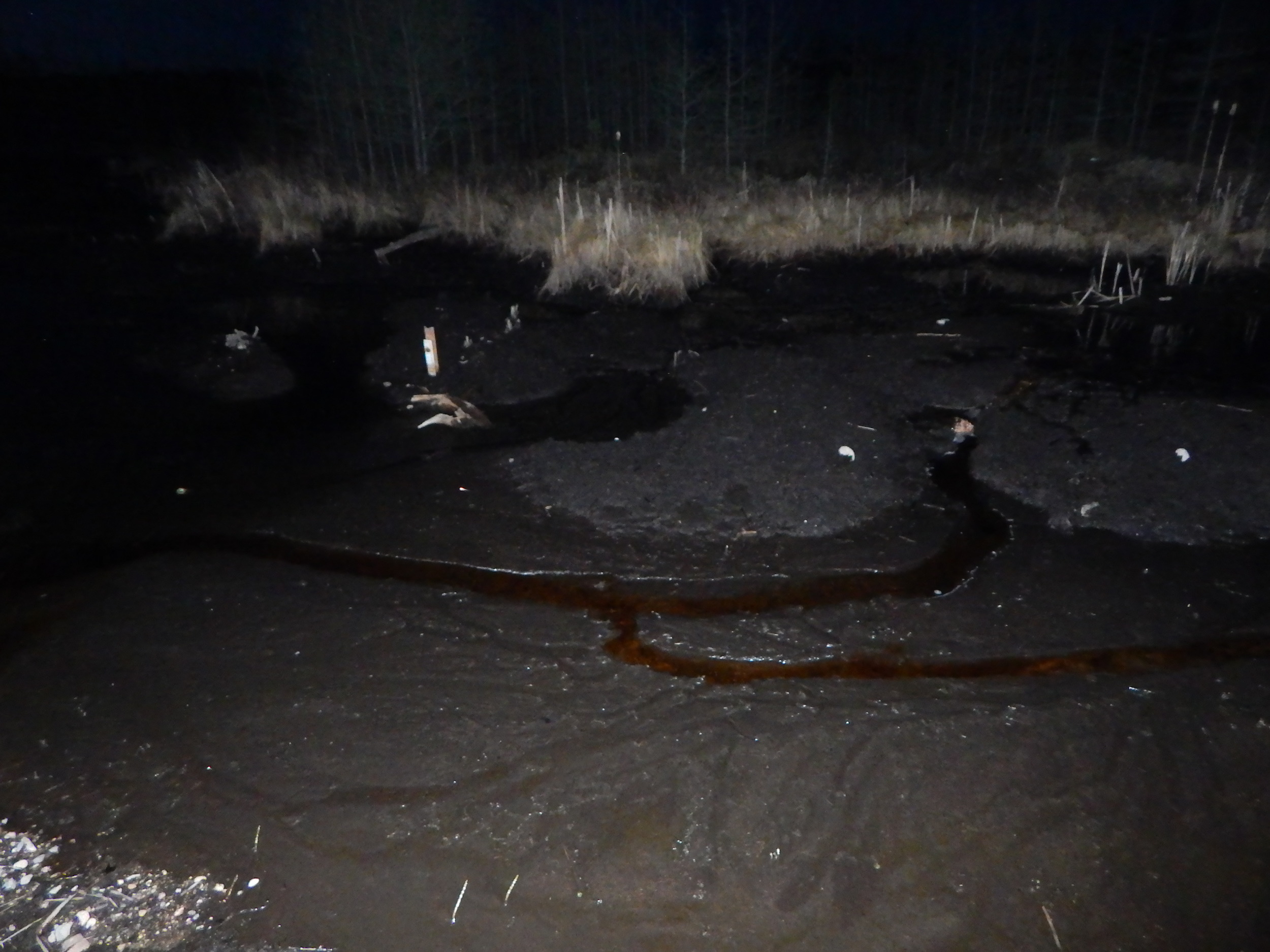
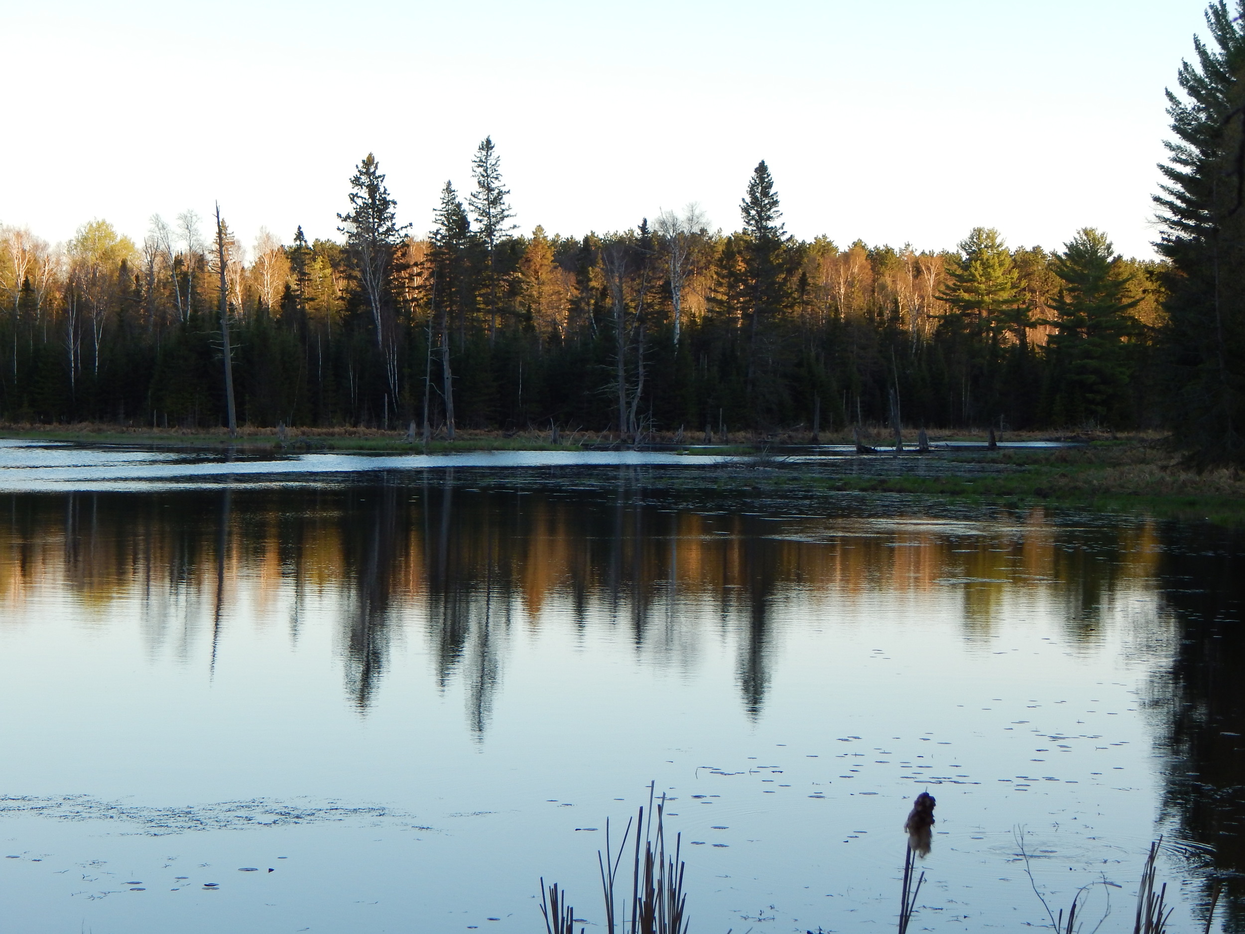
The final location was very nice and tranquil. It was getting late and the northeastern wind had all but died. The water was a bit low making the search nice and dry. #7 has a stream running through it. I wonder if some beaver dams downstream got pulled to make the water so low. If the stream is carrying oxygen in, I have to wonder if larger fish can survive the winter here as the surface is disturbed by little ripples from the minnows below.
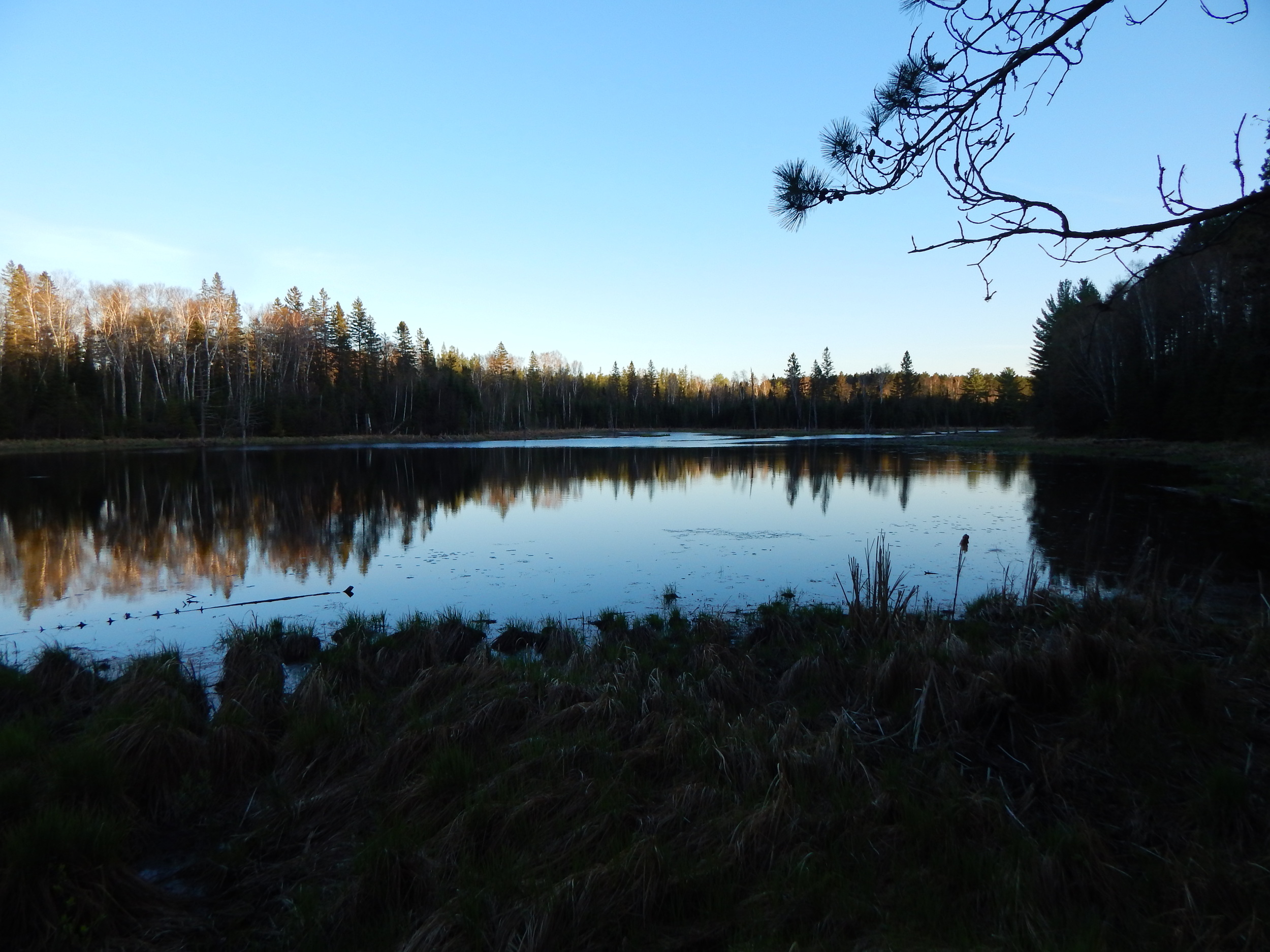
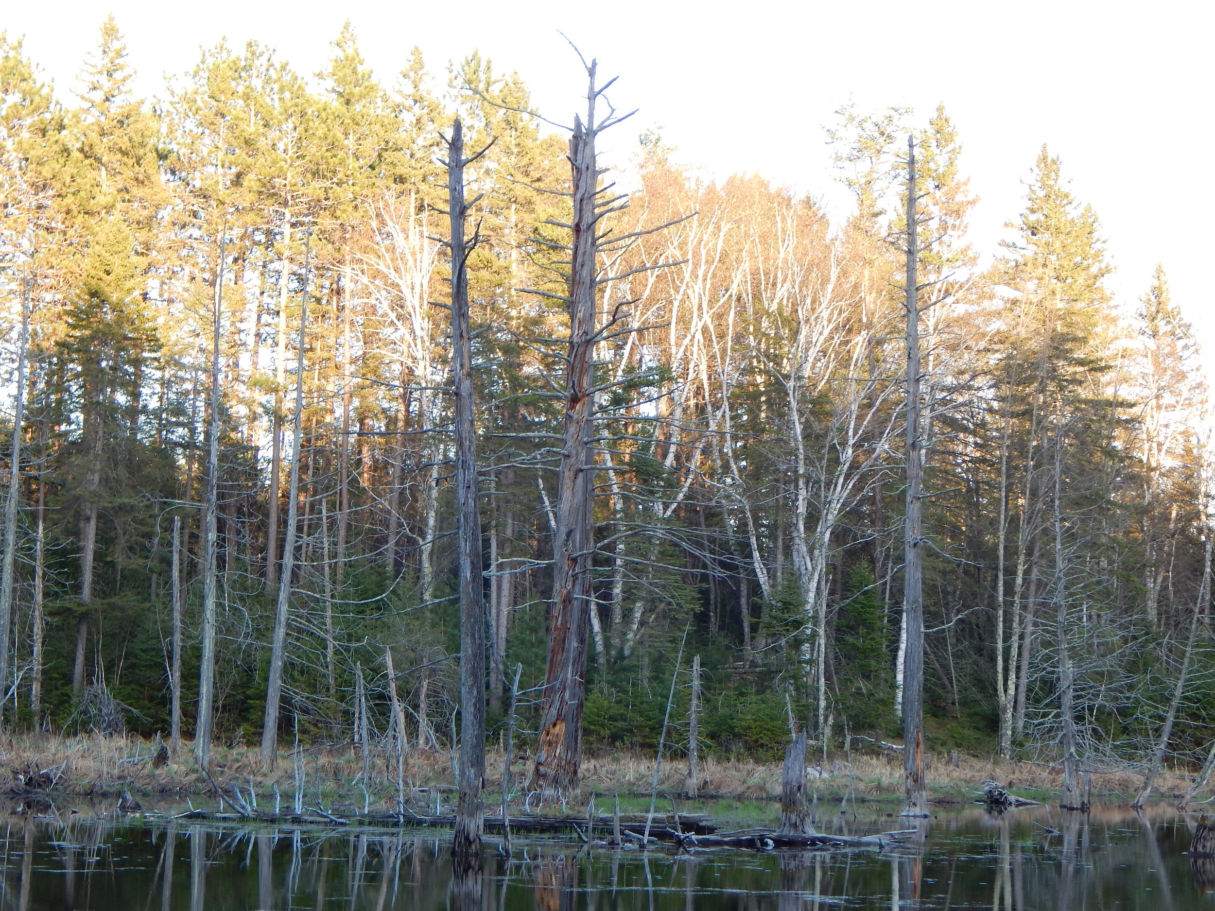
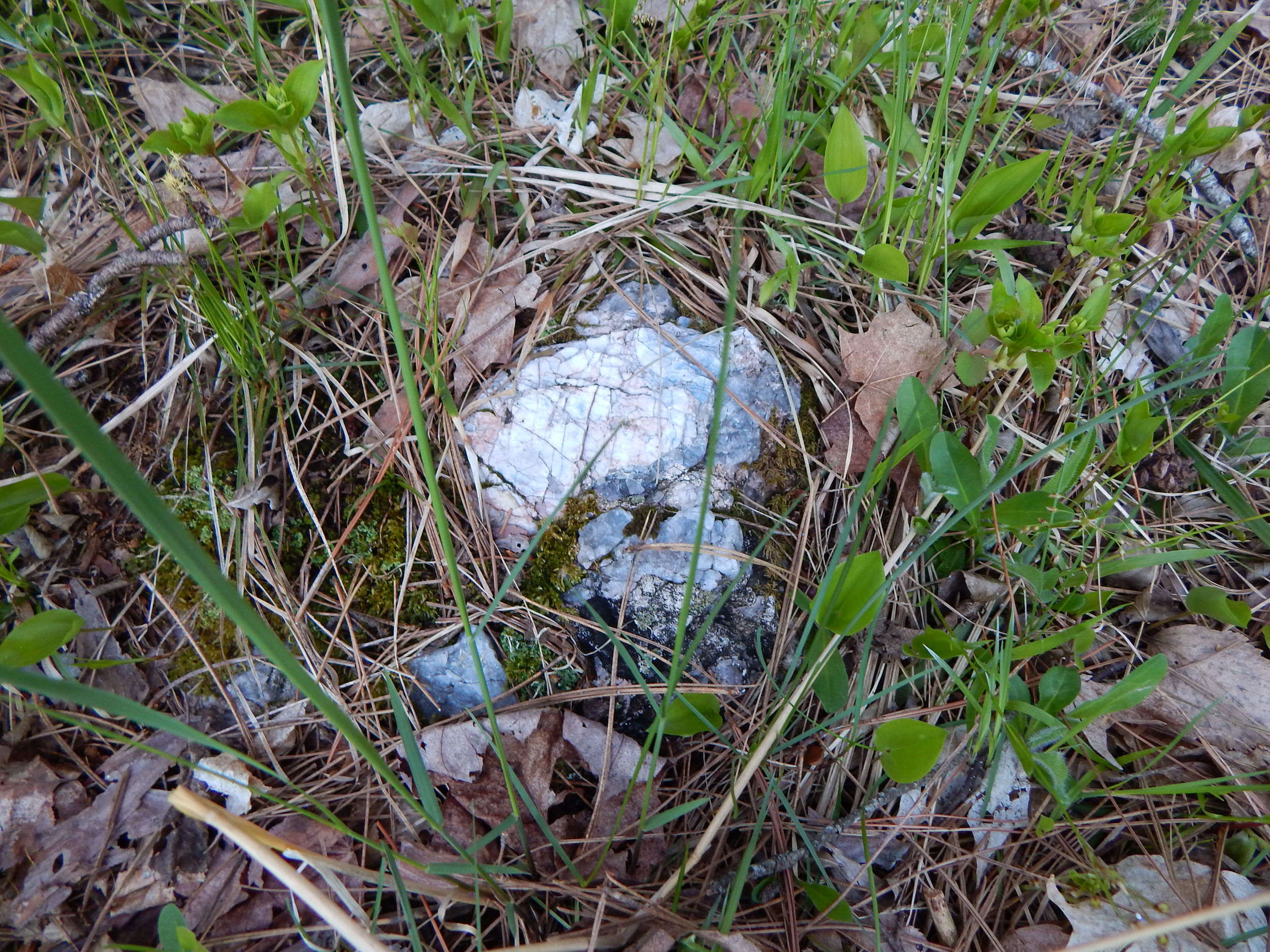
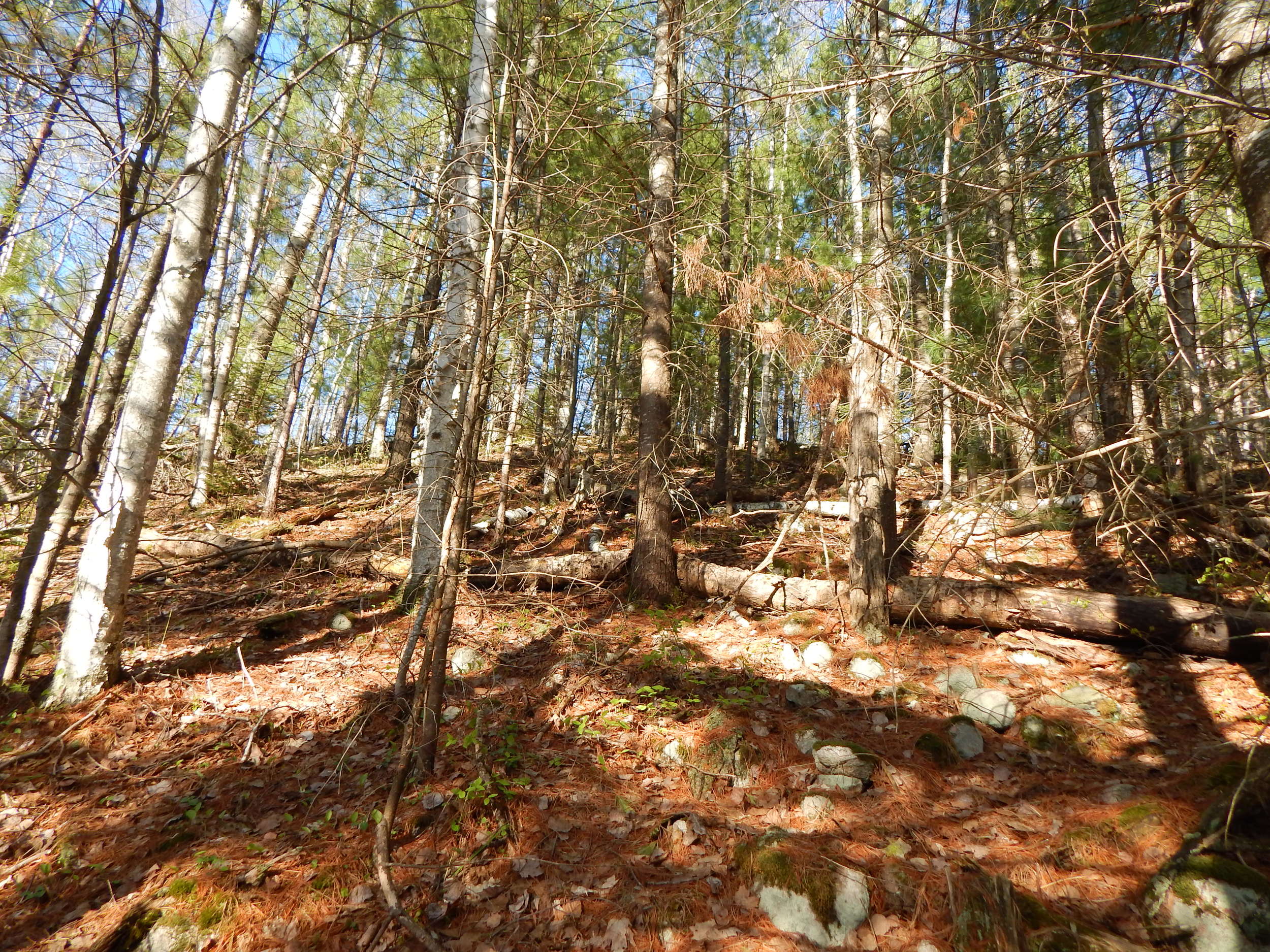
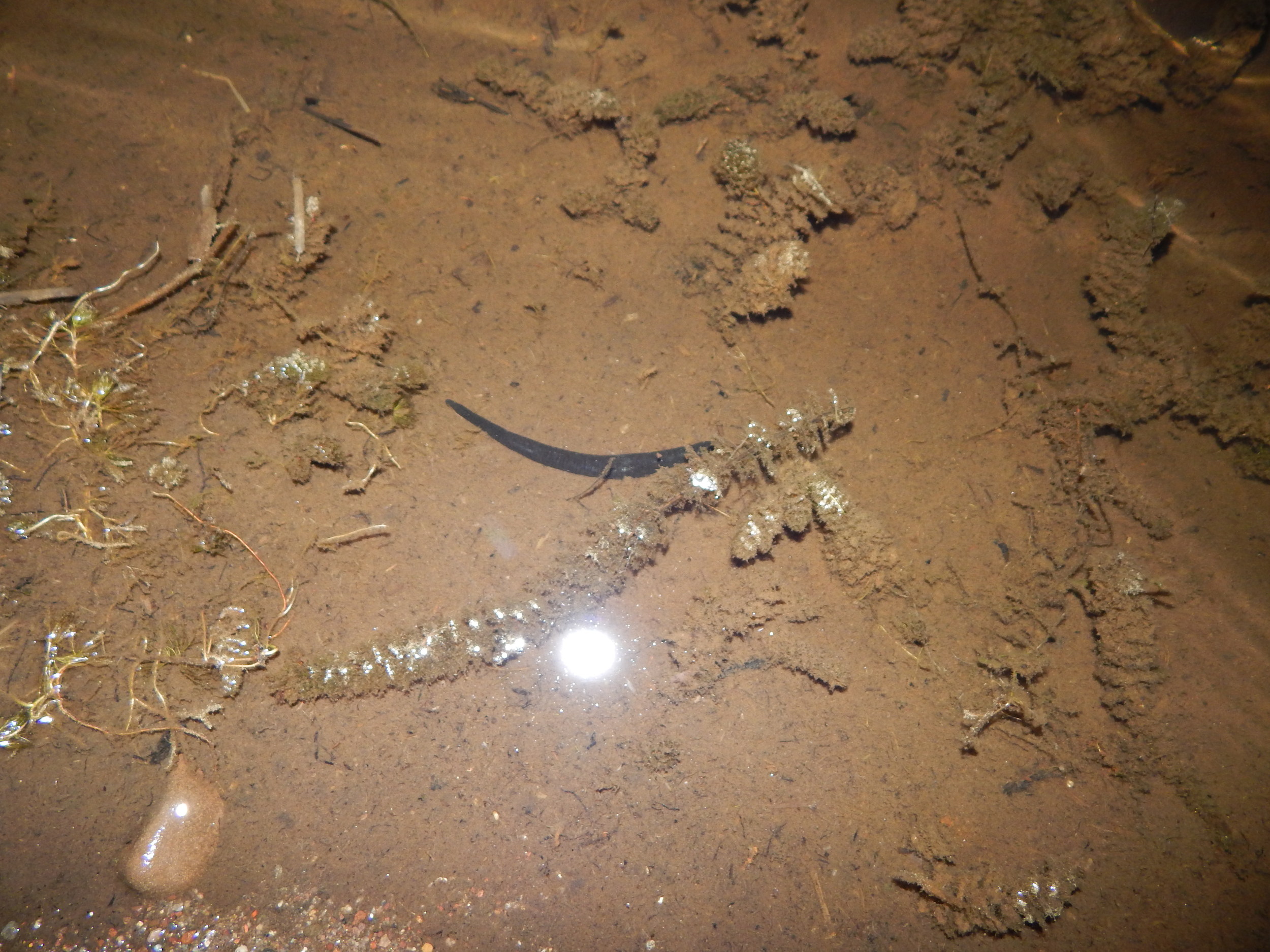
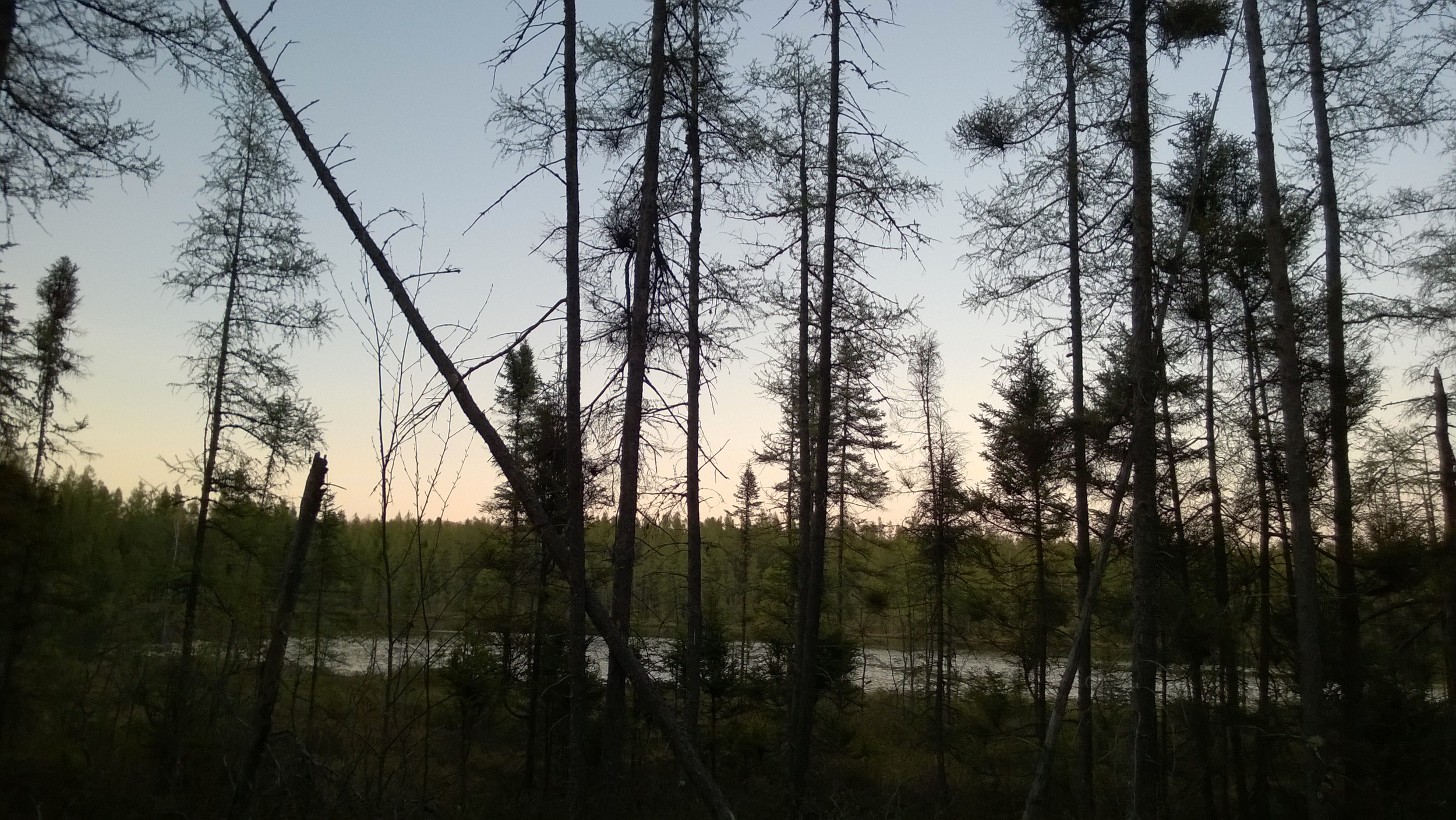
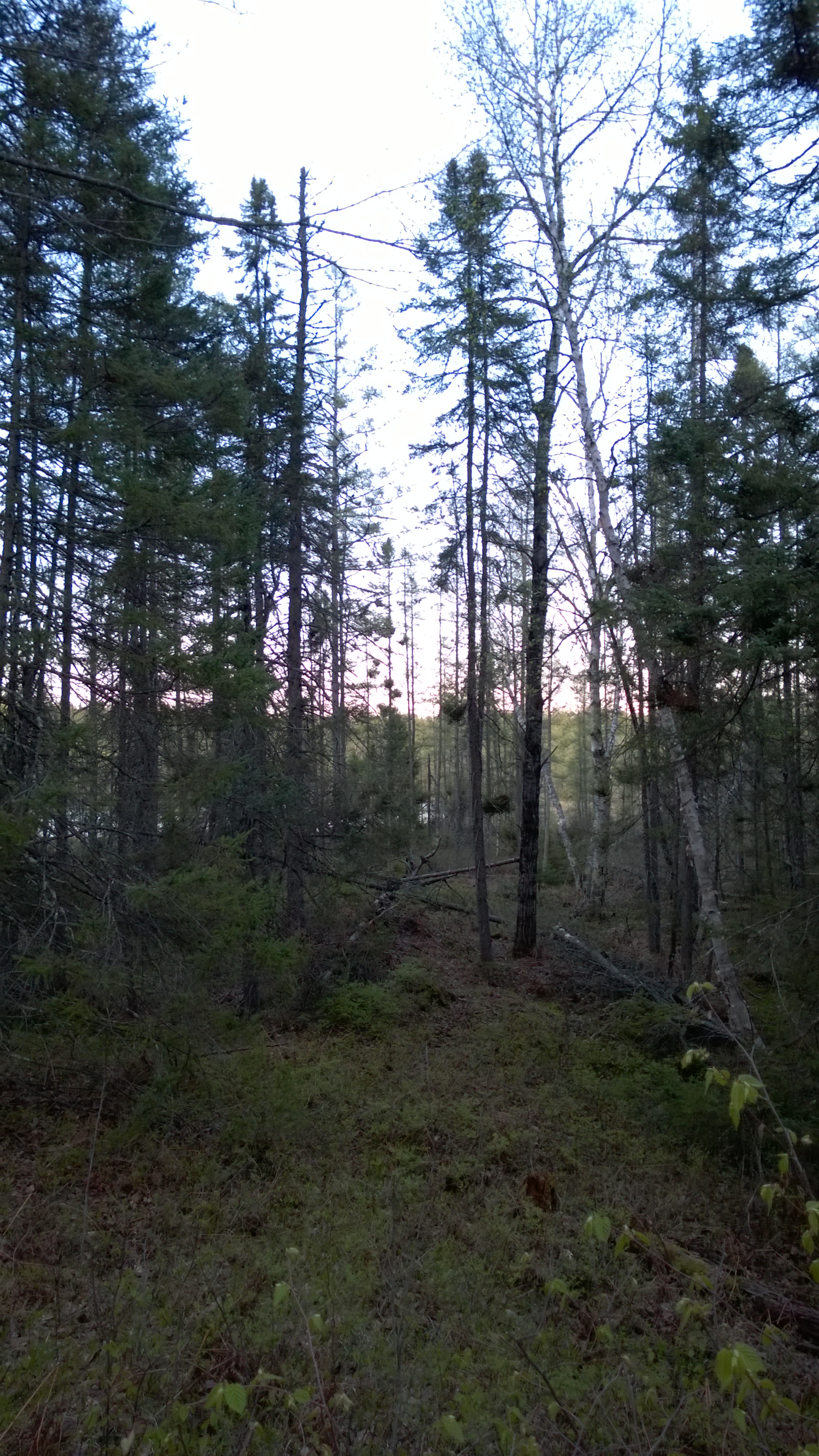
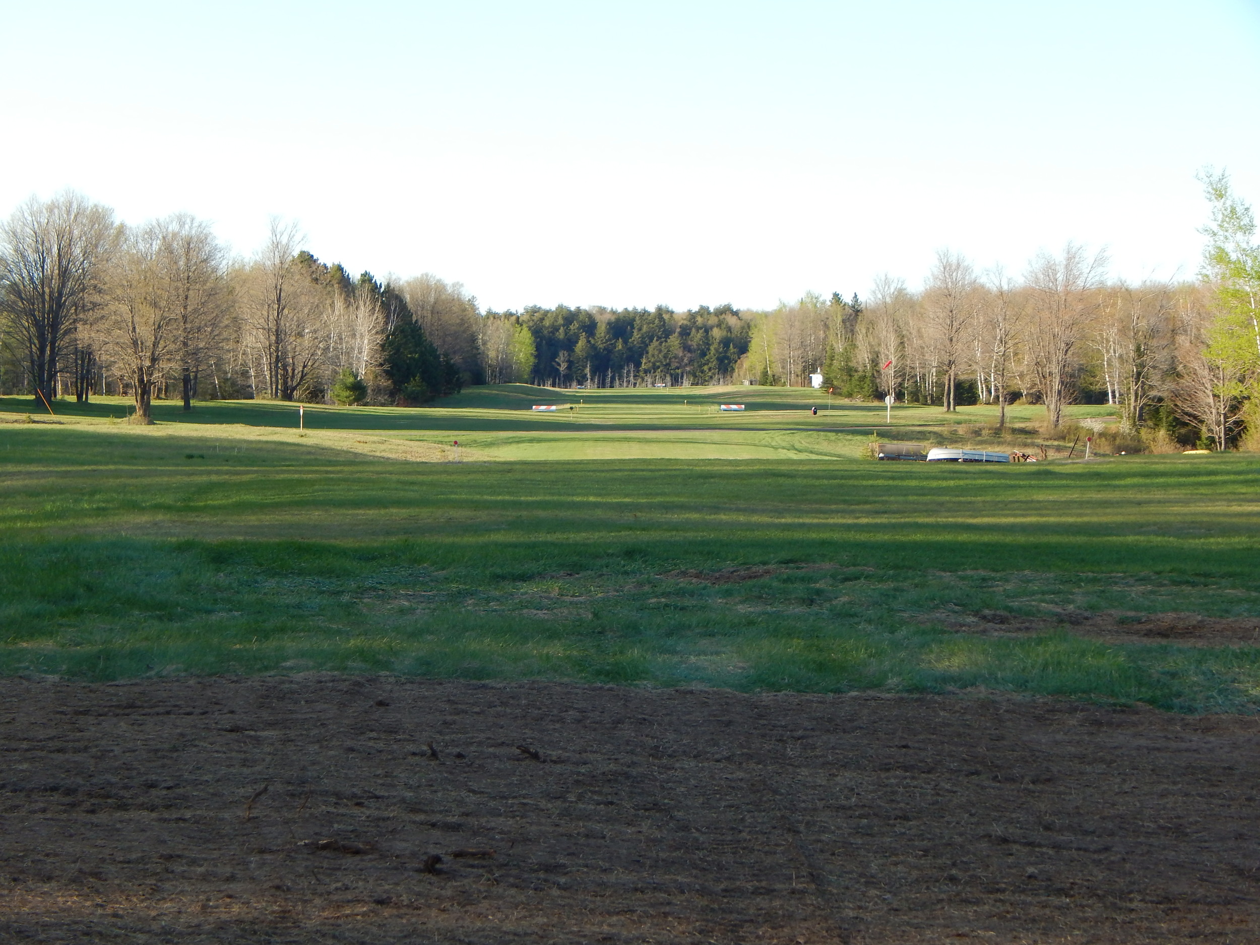
Other pictures of the area